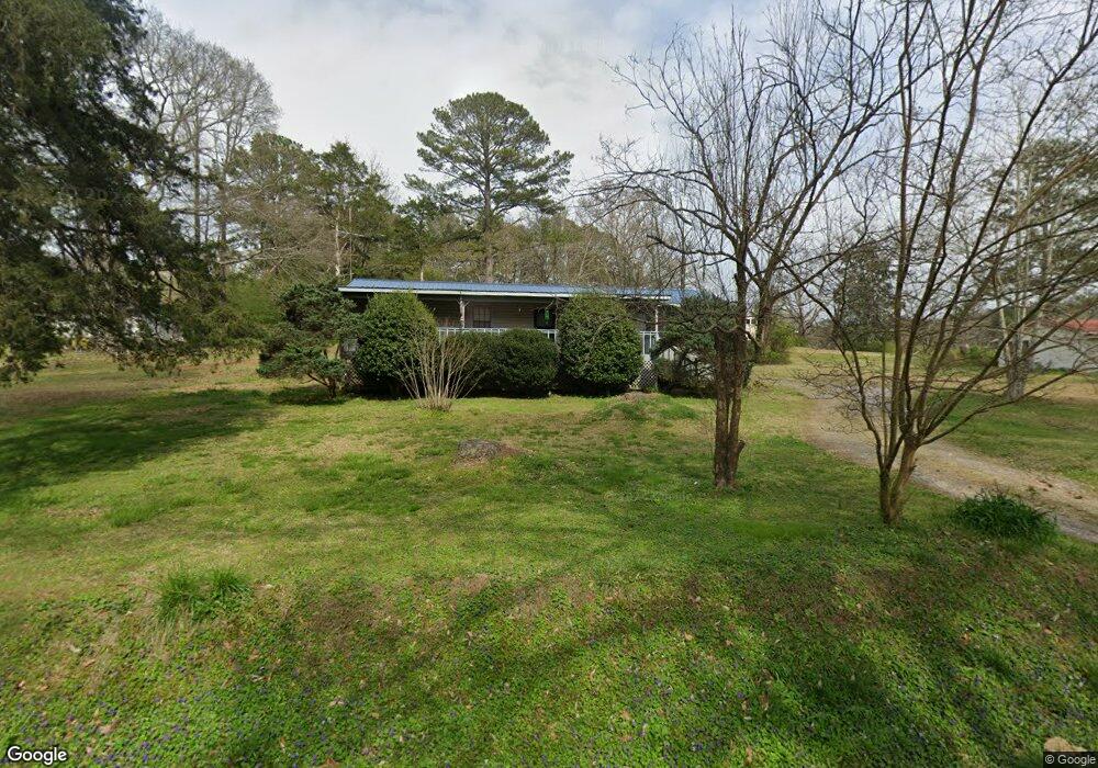
4259 Tidwell Hollow Rd Oneonta, AL 35121
Estimated Value: $139,000 - $284,000
--
Bed
--
Bath
1,152
Sq Ft
$163/Sq Ft
Est. Value
About This Home
This home is located at 4259 Tidwell Hollow Rd, Oneonta, AL 35121 and is currently estimated at $187,232, approximately $162 per square foot. 4259 Tidwell Hollow Rd is a home located in Blount County with nearby schools including Southeastern Elementary School.
Ownership History
Date
Name
Owned For
Owner Type
Purchase Details
Closed on
Aug 11, 2016
Sold by
Dye Larry M and Dye Fannie
Bought by
Dye Larry M and Dye Fannie
Current Estimated Value
Home Financials for this Owner
Home Financials are based on the most recent Mortgage that was taken out on this home.
Original Mortgage
$63,990
Outstanding Balance
$29,368
Interest Rate
3.56%
Estimated Equity
$157,864
Purchase Details
Closed on
Feb 8, 2007
Sold by
Dye Dicie S
Bought by
Dye Larry M
Create a Home Valuation Report for This Property
The Home Valuation Report is an in-depth analysis detailing your home's value as well as a comparison with similar homes in the area
Home Values in the Area
Average Home Value in this Area
Purchase History
| Date | Buyer | Sale Price | Title Company |
|---|---|---|---|
| Dye Larry M | -- | -- | |
| Dye Larry M | -- | -- |
Source: Public Records
Mortgage History
| Date | Status | Borrower | Loan Amount |
|---|---|---|---|
| Open | Dye Larry M | $63,990 |
Source: Public Records
Tax History Compared to Growth
Tax History
| Year | Tax Paid | Tax Assessment Tax Assessment Total Assessment is a certain percentage of the fair market value that is determined by local assessors to be the total taxable value of land and additions on the property. | Land | Improvement |
|---|---|---|---|---|
| 2024 | $282 | $10,460 | $1,060 | $9,400 |
| 2023 | $282 | $10,400 | $1,000 | $9,400 |
| 2022 | $219 | $8,520 | $1,000 | $7,520 |
| 2021 | $221 | $8,580 | $1,060 | $7,520 |
| 2020 | $208 | $8,180 | $1,000 | $7,180 |
| 2019 | $208 | $8,180 | $1,000 | $7,180 |
| 2018 | $189 | $7,600 | $1,000 | $6,600 |
| 2017 | $167 | $6,920 | $0 | $0 |
| 2015 | $141 | $6,640 | $0 | $0 |
| 2014 | $158 | $6,640 | $0 | $0 |
| 2013 | -- | $6,800 | $0 | $0 |
Source: Public Records
Map
Nearby Homes
- 0 Cedar Dr
- 0 Baker Dr Unit 1
- 3736 Tidwell Hollow Rd
- 25895 State Highway 75
- 0 Seven Mile Rd
- 433 Saint Andrews Pkwy
- Lot #6 Alabama 75 Unit 1
- Lot #5 Alabama 75 Unit 1
- Lot #4 Alabama 75 Unit 1
- Lot #3 Alabama 75 Unit 1
- Lot #2 Alabama 75 Unit 1
- Lot #1 Alabama 75 Unit 1
- 0 Oak Ridge Dr Unit entire parcel
- 2957 Springville Blvd
- 1410 Saint Andrews Pkwy Unit 80 & 81
- 0 Bellerive Cir Unit 1 21422466
- 0 Bellerive Cir Unit 158A 21390746
- 1166 Saint Andrews Pkwy Unit 76A, 76 & 77A
- 76 Woodard Dr
- 122 Buse Rd
- 4231 Tidwell Hollow Rd
- 270 Tidwell Hollow Rd
- 4242 Tidwell Hollow Rd
- 38 Highland Ave
- 4268 Tidwell Hollow Rd
- 52 Highland Ave
- 222 Tidwell Hollow Rd
- 4290 Tidwell Hollow Rd
- 0 Highland Ave
- 0 Highland Ave Unit 451744
- 0 Highland Ave Unit 3 511535
- 0 Highland Ave Unit 2 511533
- 68 Highland Ave
- 4210 Tidwell Hollow Rd
- 200 Tidwell Hollow Rd
- 23 Highland Ave Unit 23
- 88 Highland Ave
- 15 Highland Ave
- 55 Highland Ave
- 176 Tidwell Hollow Rd