426 Cronin Rd West Brookfield, MA 01585
Estimated Value: $374,000 - $448,000
3
Beds
2
Baths
1,735
Sq Ft
$236/Sq Ft
Est. Value
About This Home
This home is located at 426 Cronin Rd, West Brookfield, MA 01585 and is currently estimated at $410,076, approximately $236 per square foot. 426 Cronin Rd is a home with nearby schools including Quaboag Regional High School.
Ownership History
Date
Name
Owned For
Owner Type
Purchase Details
Closed on
May 29, 2001
Sold by
Fortier Jeffrey A
Bought by
Martin Bea
Current Estimated Value
Purchase Details
Closed on
Aug 26, 1996
Sold by
King Ruth P
Bought by
Fortier Jeffrey A
Purchase Details
Closed on
May 17, 1994
Sold by
Raczka R Frances
Bought by
King Ruth P
Create a Home Valuation Report for This Property
The Home Valuation Report is an in-depth analysis detailing your home's value as well as a comparison with similar homes in the area
Home Values in the Area
Average Home Value in this Area
Purchase History
| Date | Buyer | Sale Price | Title Company |
|---|---|---|---|
| Martin Bea | $67,464 | -- | |
| Fortier Jeffrey A | $75,000 | -- | |
| King Ruth P | $119,900 | -- |
Source: Public Records
Mortgage History
| Date | Status | Borrower | Loan Amount |
|---|---|---|---|
| Open | King Ruth P | $97,000 | |
| Previous Owner | King Ruth P | $75,000 | |
| Previous Owner | King Ruth P | $51,329 |
Source: Public Records
Tax History Compared to Growth
Tax History
| Year | Tax Paid | Tax Assessment Tax Assessment Total Assessment is a certain percentage of the fair market value that is determined by local assessors to be the total taxable value of land and additions on the property. | Land | Improvement |
|---|---|---|---|---|
| 2025 | $4,236 | $286,000 | $65,400 | $220,600 |
| 2024 | $4,310 | $286,000 | $65,400 | $220,600 |
| 2023 | $4,215 | $266,800 | $65,400 | $201,400 |
| 2022 | $3,414 | $219,400 | $50,100 | $169,300 |
| 2021 | $3,344 | $209,500 | $47,400 | $162,100 |
| 2020 | $3,393 | $197,700 | $47,400 | $150,300 |
| 2019 | $3,410 | $187,900 | $47,300 | $140,600 |
| 2018 | $3,097 | $178,800 | $47,300 | $131,500 |
| 2017 | $3,216 | $173,300 | $49,200 | $124,100 |
| 2016 | $3,293 | $166,000 | $46,900 | $119,100 |
| 2015 | $2,979 | $158,900 | $46,900 | $112,000 |
| 2014 | $3,155 | $165,200 | $46,900 | $118,300 |
Source: Public Records
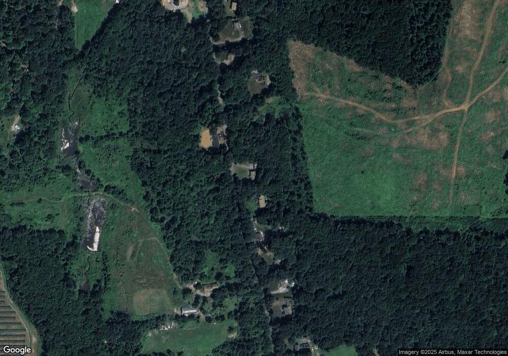
Map
Nearby Homes
- 18 Fox Run
- 16 Schoolhouse Cross Rd
- 1212 Southbridge Rd
- 368 Keys Rd
- 515 Keys Rd
- 0 Brookfield Rd
- 2 Tupelo Dr
- 26 Town Farm Rd
- 285 Brookfield Rd
- 97 Apple Rd
- 293 Brookfield Rd
- 12 Presidential Cir
- 79 Paradise Ln
- 243 Brookfield Rd
- 224 E Hill Rd
- 366 Southbridge Rd
- 261 Little Rest Rd
- 16 Rice Corner Rd
- 0 Brimfield Rd Unit 73426061
- 6 2nd St
- 402 Cronin Rd
- 0 Cronin Rd Lot 2 Unit 72106708
- 0 Cronin Rd Lot 4 Unit 72106716
- 452 Cronin Rd
- 452 Cronin Rd
- 386 Cronin Rd
- 382 Cronin Rd
- 470 Cronin Rd
- 470 Cronin Rd
- 451 Cronin Rd
- 356 Cronin Rd
- 484 Cronin Rd
- 352 Cronin Rd
- Lot 69 Cronin Rd
- Lot 0 Cronin Rd
- 498 Cronin Rd
- 506 Cronin Rd
- 340 Cronin Rd
- 535 Cronin Rd
- 354 Cronin Rd