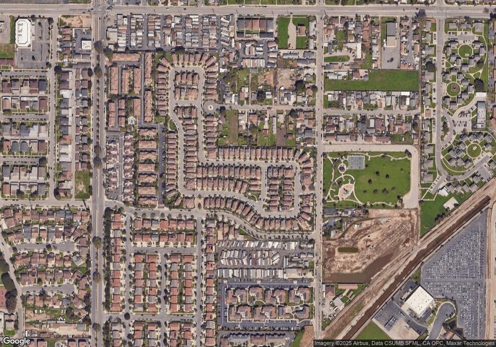
426 Dylan Dr Unit 122 Oxnard, CA 93033
Cypress NeighborhoodEstimated Value: $710,071 - $795,000
3
Beds
3
Baths
1,866
Sq Ft
$399/Sq Ft
Est. Value
About This Home
This home is located at 426 Dylan Dr Unit 122, Oxnard, CA 93033 and is currently estimated at $744,518, approximately $398 per square foot. 426 Dylan Dr Unit 122 is a home located in Ventura County with nearby schools including Channel Islands High School.
Ownership History
Date
Name
Owned For
Owner Type
Purchase Details
Closed on
Dec 18, 2020
Sold by
Vivian Charles Edward
Bought by
Vivian Charles E and The Charles E Vivian Sr Trust
Current Estimated Value
Purchase Details
Closed on
Dec 3, 2007
Sold by
Cc Community Co Llc
Bought by
Vivian Charles Edward
Home Financials for this Owner
Home Financials are based on the most recent Mortgage that was taken out on this home.
Original Mortgage
$339,200
Outstanding Balance
$211,908
Interest Rate
6.05%
Mortgage Type
Purchase Money Mortgage
Estimated Equity
$532,610
Create a Home Valuation Report for This Property
The Home Valuation Report is an in-depth analysis detailing your home's value as well as a comparison with similar homes in the area
Home Values in the Area
Average Home Value in this Area
Purchase History
| Date | Buyer | Sale Price | Title Company |
|---|---|---|---|
| Vivian Charles E | -- | None Available | |
| Vivian Charles Edward | $424,000 | Fidelity National Title Co |
Source: Public Records
Mortgage History
| Date | Status | Borrower | Loan Amount |
|---|---|---|---|
| Open | Vivian Charles Edward | $339,200 |
Source: Public Records
Tax History Compared to Growth
Tax History
| Year | Tax Paid | Tax Assessment Tax Assessment Total Assessment is a certain percentage of the fair market value that is determined by local assessors to be the total taxable value of land and additions on the property. | Land | Improvement |
|---|---|---|---|---|
| 2025 | $6,258 | $556,917 | $361,868 | $195,049 |
| 2024 | $6,258 | $545,998 | $354,773 | $191,225 |
| 2023 | $6,240 | $535,293 | $347,817 | $187,476 |
| 2022 | $5,938 | $524,798 | $340,998 | $183,800 |
| 2021 | $6,045 | $514,508 | $334,311 | $180,197 |
| 2020 | $6,211 | $509,234 | $330,884 | $178,350 |
| 2019 | $5,940 | $499,250 | $324,397 | $174,853 |
| 2018 | $5,786 | $487,000 | $315,000 | $172,000 |
| 2017 | $5,371 | $462,000 | $299,000 | $163,000 |
| 2016 | $5,233 | $451,000 | $292,000 | $159,000 |
| 2015 | $5,176 | $406,000 | $263,000 | $143,000 |
| 2014 | $4,115 | $316,000 | $205,000 | $111,000 |
Source: Public Records
Map
Nearby Homes
- 5302 Barrymore Dr
- 5164 Charles St
- 5222 Longfellow Way
- 341 Cuesta Del Mar Dr
- 411 E Bard Rd
- 234 Johnson Rd
- 168 Courtyard Dr
- 4160 Petit Dr Unit 39
- 117 Ann Ave
- 912 Maplewood Way
- 4029 S B St
- 218 Morning Breeze Ln
- 4340 Highland Ave
- 445 Gaviota Place Unit 124
- 360 Ibsen Place Unit 129
- 300 Ibsen Place Unit 132
- 916 Lighthouse Way
- 4105 S J St
- 846 Bluewater Way
- 840 Morro Way
- 436 Dylan Dr
- 416 Dylan Dr
- 446 Dylan Dr Unit 124
- 446 Dylan Dr
- 400 Dylan Dr Unit 120
- 5303 Gibson Place Unit 142
- 5303 Gibson Place
- 407 Field St
- 5313 Gibson Place
- 425 Dylan Dr Unit 52
- 357 Field St Unit 146
- 357 Field St
- 500 Dylan Dr Unit 125
- 500 Dylan Dr
- 435 Dylan Dr
- 346 Dylan Dr
- 445 Dylan Dr
- 415 Dylan Dr
- 405 Dylan Dr
- 347 Field St
