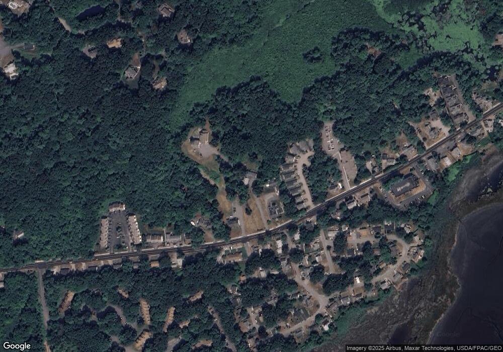
426 High St Hampton, NH 03842
Estimated Value: $1,107,611 - $1,332,000
7
Beds
4
Baths
4,052
Sq Ft
$300/Sq Ft
Est. Value
About This Home
This home is located at 426 High St, Hampton, NH 03842 and is currently estimated at $1,215,153, approximately $299 per square foot. 426 High St is a home located in Rockingham County with nearby schools including Hampton Centre School, Adeline C. Marston Elementary School, and Hampton Academy.
Ownership History
Date
Name
Owned For
Owner Type
Purchase Details
Closed on
Sep 28, 2012
Sold by
Sakurai Lisa M
Bought by
Sakurai Jerome K
Current Estimated Value
Purchase Details
Closed on
Feb 11, 2003
Sold by
Mansfield Marina T
Bought by
Sakurai J Ken and Sakurai Lisa M
Purchase Details
Closed on
Feb 19, 1999
Sold by
Driscoll Clyde P
Bought by
Victoria Invsts Llc
Create a Home Valuation Report for This Property
The Home Valuation Report is an in-depth analysis detailing your home's value as well as a comparison with similar homes in the area
Home Values in the Area
Average Home Value in this Area
Purchase History
| Date | Buyer | Sale Price | Title Company |
|---|---|---|---|
| Sakurai Jerome K | -- | -- | |
| Sakurai J Ken | $328,800 | -- | |
| Victoria Invsts Llc | $200,000 | -- | |
| Sakurai Jerome K | -- | -- | |
| Sakurai J Ken J | $328,800 | -- | |
| Victoria Invsts Llc | $200,000 | -- |
Source: Public Records
Mortgage History
| Date | Status | Borrower | Loan Amount |
|---|---|---|---|
| Previous Owner | Victoria Invsts Llc | $65,000 | |
| Previous Owner | Victoria Invsts Llc | $262,000 |
Source: Public Records
Tax History Compared to Growth
Tax History
| Year | Tax Paid | Tax Assessment Tax Assessment Total Assessment is a certain percentage of the fair market value that is determined by local assessors to be the total taxable value of land and additions on the property. | Land | Improvement |
|---|---|---|---|---|
| 2024 | $10,473 | $850,100 | $285,900 | $564,200 |
| 2023 | $9,698 | $579,000 | $194,000 | $385,000 |
| 2022 | $9,171 | $579,000 | $194,000 | $385,000 |
| 2021 | $9,171 | $579,000 | $194,000 | $385,000 |
| 2020 | $9,216 | $578,500 | $194,000 | $384,500 |
| 2019 | $9,262 | $578,500 | $194,000 | $384,500 |
| 2018 | $9,575 | $562,600 | $177,400 | $385,200 |
| 2017 | $9,210 | $562,600 | $177,400 | $385,200 |
| 2016 | $9,047 | $562,600 | $177,400 | $385,200 |
Source: Public Records
Map
Nearby Homes
- 403 High St
- 467 High St Unit 22
- 92 Dunvegan Woods
- 38 Dunvegan Woods
- 7 Hunter Dr
- 338 High St
- 7 Greene St
- 330 High St
- 3 Greene St
- 19 Katie Ln
- 182 Kings Hwy
- 190 Kings Hwy Unit A1
- 159 Woodland Rd
- 917 Ocean Blvd
- 23 Cusack Rd Unit 15
- 68 Kings Hwy Unit 30
- 436 Winnacunnet Rd
- 947 Ocean Blvd Unit 10
- 81 Little River Rd
- 11 Redman St
- 434 High St Unit 4
- 434 High St
- 434 High St Unit 1
- 434 High St Unit 8
- 434 High St Unit 6
- 434 High St Unit 5
- 434 High St Unit 7
- 434 High St Unit 9
- 434 High St Unit 4
- 434 High St Unit 3
- 434 High St Unit 2
- 424 High St
- 416 High St
- 427 High St
- 1 Pine Rd
- 2 Pine Rd
- 2 Birch Rd
- 1 Oak Rd
- 446 High St
- 446 High St Unit B
