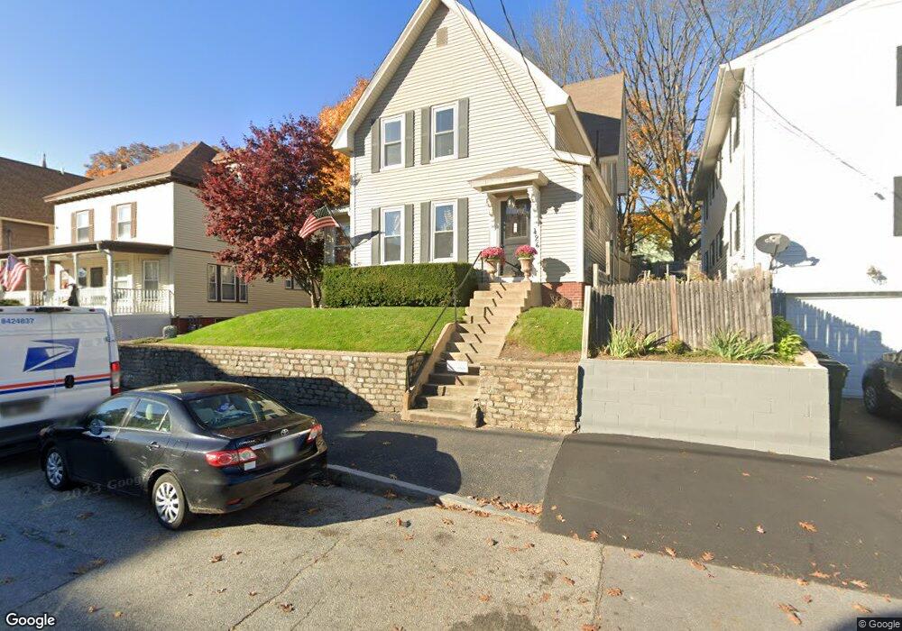
426 Laurel St Manchester, NH 03103
Hanover Hill NeighborhoodEstimated Value: $408,000 - $447,000
7
Beds
3
Baths
2,839
Sq Ft
$153/Sq Ft
Est. Value
About This Home
This home is located at 426 Laurel St, Manchester, NH 03103 and is currently estimated at $433,505, approximately $152 per square foot. 426 Laurel St is a home located in Hillsborough County with nearby schools including McDonough Elementary School, Hillside Middle School, and Manchester Central High School.
Ownership History
Date
Name
Owned For
Owner Type
Purchase Details
Closed on
Mar 1, 2002
Sold by
Lindsey Cory A and Lindsey Diane L
Bought by
Psaledas David M
Current Estimated Value
Home Financials for this Owner
Home Financials are based on the most recent Mortgage that was taken out on this home.
Original Mortgage
$114,800
Interest Rate
6.85%
Create a Home Valuation Report for This Property
The Home Valuation Report is an in-depth analysis detailing your home's value as well as a comparison with similar homes in the area
Home Values in the Area
Average Home Value in this Area
Purchase History
| Date | Buyer | Sale Price | Title Company |
|---|---|---|---|
| Psaledas David M | $143,500 | -- |
Source: Public Records
Mortgage History
| Date | Status | Borrower | Loan Amount |
|---|---|---|---|
| Open | Psaledas David M | $280,250 | |
| Closed | Psaledas David M | $114,800 |
Source: Public Records
Tax History Compared to Growth
Tax History
| Year | Tax Paid | Tax Assessment Tax Assessment Total Assessment is a certain percentage of the fair market value that is determined by local assessors to be the total taxable value of land and additions on the property. | Land | Improvement |
|---|---|---|---|---|
| 2024 | $5,631 | $287,600 | $85,300 | $202,300 |
| 2023 | $5,424 | $287,600 | $85,300 | $202,300 |
| 2022 | $5,246 | $287,600 | $85,300 | $202,300 |
| 2021 | $5,085 | $287,600 | $85,300 | $202,300 |
| 2020 | $6,121 | $192,000 | $58,800 | $133,200 |
| 2019 | $6,059 | $192,000 | $58,800 | $133,200 |
| 2018 | $4,495 | $192,000 | $58,800 | $133,200 |
| 2017 | $4,455 | $192,000 | $58,800 | $133,200 |
| 2016 | $4,443 | $192,000 | $58,800 | $133,200 |
| 2015 | $4,397 | $187,600 | $58,800 | $128,800 |
| 2014 | $4,409 | $187,600 | $58,800 | $128,800 |
| 2013 | $4,251 | $187,500 | $58,700 | $128,800 |
Source: Public Records
Map
Nearby Homes
- 440 Laurel St
- 527 Hanover St
- 10 Hayes Ave
- 662 Amherst St
- 426 Manchester St
- 383 Concord St
- 601 Hall St
- 383 Concord St Hcrd Plan 42577
- 445 E High St
- 651 Summer St
- 383 Manchester St
- 379 Manchester St
- 377 Manchester St
- 635 Green St
- 625 Green St
- 335 Cypress St Unit 4A
- 362 Amherst St
- 330 Bridge St
- 394 Cedar St
- 32 Jane St
- 430 Laurel St
- 420 Laurel St
- 434 Laurel St
- 527 Merrimack St
- 5 Shelley Dr
- 521 Merrimack St
- 533 Merrimack St
- 427 Laurel St
- 519 Merrimack St
- 438 Laurel St
- 421 Laurel St
- 421 Laurel St Unit 2
- 421 Laurel St Unit 3
- 414 Laurel St
- 431 Laurel St
- 417 Laurel St
- 513 Merrimack St
- 415 Laurel St
- 408 Laurel St
- 539 Merrimack St