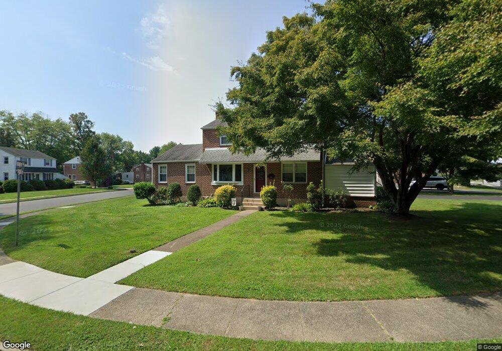
426 Parham Rd Springfield, PA 19064
Estimated Value: $515,733 - $571,000
3
Beds
2
Baths
1,932
Sq Ft
$279/Sq Ft
Est. Value
About This Home
This home is located at 426 Parham Rd, Springfield, PA 19064 and is currently estimated at $539,683, approximately $279 per square foot. 426 Parham Rd is a home located in Delaware County with nearby schools including Springfield High School, St Francis Of Assisi School, and Holy Cross School.
Ownership History
Date
Name
Owned For
Owner Type
Purchase Details
Closed on
Jun 15, 1988
Sold by
Carboni Frank J and Carboni Susan J
Bought by
Bertolino Edward J and Bertolino Loraine A
Current Estimated Value
Create a Home Valuation Report for This Property
The Home Valuation Report is an in-depth analysis detailing your home's value as well as a comparison with similar homes in the area
Home Values in the Area
Average Home Value in this Area
Purchase History
| Date | Buyer | Sale Price | Title Company |
|---|---|---|---|
| Bertolino Edward J | $149,500 | -- |
Source: Public Records
Tax History
| Year | Tax Paid | Tax Assessment Tax Assessment Total Assessment is a certain percentage of the fair market value that is determined by local assessors to be the total taxable value of land and additions on the property. | Land | Improvement |
|---|---|---|---|---|
| 2025 | $8,879 | $302,670 | $100,230 | $202,440 |
| 2024 | $8,507 | $302,670 | $100,230 | $202,440 |
| 2023 | $8,191 | $302,670 | $100,230 | $202,440 |
| 2022 | $8,014 | $302,670 | $100,230 | $202,440 |
| 2021 | $12,412 | $302,670 | $100,230 | $202,440 |
| 2020 | $7,080 | $156,240 | $48,190 | $108,050 |
| 2019 | $6,914 | $156,240 | $48,190 | $108,050 |
| 2018 | $6,815 | $156,240 | $0 | $0 |
| 2017 | $6,657 | $156,240 | $0 | $0 |
| 2016 | $857 | $156,240 | $0 | $0 |
| 2015 | $875 | $156,240 | $0 | $0 |
| 2014 | $857 | $156,240 | $0 | $0 |
Source: Public Records
Map
Nearby Homes
- 173 Rambling Way
- 211 S Norwinden Dr
- 332 Franklin Ave
- 226 Lynbrooke Rd
- 227 E Leamy Ave
- 514 Springview Ln
- 978 Westfield Rd
- 34 Schuyler Rd
- 29 School Ln
- 120 W Springfield Rd
- 19 Wayne Ave
- 31 Wayfield Rd
- 364 S Rolling Rd
- 0 N Bishop Ave
- 624 E Springfield Rd
- 5358 Delmar Dr
- 507 School St
- 173 Hillview Dr
- 111 Broad St
- 472 Larchwood Rd
Your Personal Tour Guide
Ask me questions while you tour the home.