426 Parker Farm Rd Buxton, ME 04093
Estimated Value: $448,709 - $523,000
2
Beds
2
Baths
1,456
Sq Ft
$329/Sq Ft
Est. Value
About This Home
This home is located at 426 Parker Farm Rd, Buxton, ME 04093 and is currently estimated at $479,427, approximately $329 per square foot. 426 Parker Farm Rd is a home with nearby schools including Bonny Eagle High School.
Ownership History
Date
Name
Owned For
Owner Type
Purchase Details
Closed on
Feb 23, 2007
Sold by
Macdonald James A
Bought by
Macdonald April N and Macdonald James A
Current Estimated Value
Home Financials for this Owner
Home Financials are based on the most recent Mortgage that was taken out on this home.
Original Mortgage
$176,000
Interest Rate
6.23%
Mortgage Type
Commercial
Create a Home Valuation Report for This Property
The Home Valuation Report is an in-depth analysis detailing your home's value as well as a comparison with similar homes in the area
Home Values in the Area
Average Home Value in this Area
Purchase History
| Date | Buyer | Sale Price | Title Company |
|---|---|---|---|
| Macdonald April N | -- | -- |
Source: Public Records
Mortgage History
| Date | Status | Borrower | Loan Amount |
|---|---|---|---|
| Open | Macdonald April N | $205,537 | |
| Closed | Macdonald April N | $202,500 | |
| Closed | Macdonald April N | $178,500 | |
| Closed | Macdonald April N | $176,000 |
Source: Public Records
Tax History Compared to Growth
Tax History
| Year | Tax Paid | Tax Assessment Tax Assessment Total Assessment is a certain percentage of the fair market value that is determined by local assessors to be the total taxable value of land and additions on the property. | Land | Improvement |
|---|---|---|---|---|
| 2024 | $3,989 | $363,000 | $124,000 | $239,000 |
| 2023 | $3,786 | $363,000 | $124,000 | $239,000 |
| 2022 | $3,718 | $363,100 | $124,000 | $239,100 |
| 2021 | $3,455 | $238,932 | $75,800 | $163,132 |
| 2020 | $3,484 | $238,932 | $75,800 | $163,132 |
| 2019 | $3,171 | $214,000 | $75,800 | $138,200 |
| 2018 | $3,026 | $214,000 | $75,800 | $138,200 |
| 2017 | $2,910 | $214,000 | $75,800 | $138,200 |
| 2016 | $2,793 | $214,000 | $75,800 | $138,200 |
| 2015 | $2,771 | $214,000 | $75,800 | $138,200 |
| 2014 | $2,718 | $214,000 | $75,800 | $138,200 |
| 2013 | $2,675 | $214,000 | $75,800 | $138,200 |
Source: Public Records
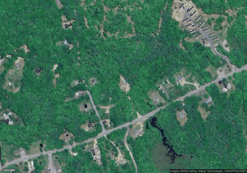
Map
Nearby Homes
- Lot 2 Commerce Way
- 47 Proprietors Rd
- 17 Fox Track
- 95 Skip Rd
- 30 Joan Dixon Way
- 580 Bonny Eagle Rd
- 62 Emery Cir
- 125 Old Thompson Rd
- 866 Parker Farm Rd Unit A
- 866 Parker Farm Rd Unit B
- 135 Bonny Eagle Rd
- 4 Pelletier Dr
- 23 Bonny Eagle Rd
- 541 Cape Rd
- 2 Bonny Eagle Rd
- 7 Pelletier Dr
- Lot 8 Pelletier Dr
- Lot 10 Pelletier Dr
- 42 Brandons Way
- 14 Patrick Dr
- 19 Old Standish Rd
- 440 Parker Farm Rd
- 448 Parker Farm Rd
- 20 Old Standish Rd
- 4 Old Standish Rd
- 24 Old Standish Rd
- 429 Parker Farm Rd
- 0 Old Standish
- 00 Old Standish
- 408 Parker Farm Rd
- 460 Parker Farm Rd
- 447 Parker Farm Rd
- 0 Sheba Ln
- 0 Sheba Ln
- 16 Old Pond Rd
- 42 Old Standish Rd
- 411 Parker Farm Rd
- 403 Parker Farm Rd
- 394 Parker Farm Rd
- 18 Old Pond Rd