426 S Andrew Dr NW New London, MN 56273
Estimated Value: $543,000 - $661,000
4
Beds
2
Baths
2,372
Sq Ft
$254/Sq Ft
Est. Value
About This Home
This home is located at 426 S Andrew Dr NW, New London, MN 56273 and is currently estimated at $603,459, approximately $254 per square foot. 426 S Andrew Dr NW is a home located in Kandiyohi County with nearby schools including Prairie Woods Elementary School, New London-Spicer Middle School, and New London-Spicer Senior High School.
Ownership History
Date
Name
Owned For
Owner Type
Purchase Details
Closed on
Oct 22, 2021
Sold by
Johnson Kurt J and Johnson Janet M
Bought by
Anderson John D and Anderson Peggy L
Current Estimated Value
Home Financials for this Owner
Home Financials are based on the most recent Mortgage that was taken out on this home.
Original Mortgage
$330,000
Outstanding Balance
$253,811
Interest Rate
2.15%
Mortgage Type
New Conventional
Estimated Equity
$349,648
Purchase Details
Closed on
Apr 4, 2006
Sold by
Nelson Donald W and Nelson Linda K
Bought by
Johnson Kurt J and Johnson Janet M
Home Financials for this Owner
Home Financials are based on the most recent Mortgage that was taken out on this home.
Original Mortgage
$279,000
Interest Rate
6.33%
Mortgage Type
New Conventional
Create a Home Valuation Report for This Property
The Home Valuation Report is an in-depth analysis detailing your home's value as well as a comparison with similar homes in the area
Home Values in the Area
Average Home Value in this Area
Purchase History
| Date | Buyer | Sale Price | Title Company |
|---|---|---|---|
| Anderson John D | $488,000 | None Available | |
| Johnson Kurt J | $377,324 | Alliance Title Company |
Source: Public Records
Mortgage History
| Date | Status | Borrower | Loan Amount |
|---|---|---|---|
| Open | Anderson John D | $330,000 | |
| Previous Owner | Johnson Kurt J | $279,000 |
Source: Public Records
Tax History Compared to Growth
Tax History
| Year | Tax Paid | Tax Assessment Tax Assessment Total Assessment is a certain percentage of the fair market value that is determined by local assessors to be the total taxable value of land and additions on the property. | Land | Improvement |
|---|---|---|---|---|
| 2025 | $6,292 | $642,700 | $229,500 | $413,200 |
| 2024 | $4,638 | $654,400 | $229,500 | $424,900 |
| 2023 | $3,898 | $517,800 | $207,000 | $310,800 |
| 2022 | $3,540 | $446,700 | $207,000 | $239,700 |
| 2021 | $3,496 | $344,100 | $189,000 | $155,100 |
| 2020 | $3,530 | $325,200 | $189,000 | $136,200 |
| 2019 | $3,610 | $324,700 | $189,000 | $135,700 |
| 2018 | $3,536 | $324,000 | $189,000 | $135,000 |
| 2017 | $3,572 | $319,800 | $189,000 | $130,800 |
| 2016 | $3,494 | $3,205 | $0 | $0 |
| 2015 | -- | $0 | $0 | $0 |
| 2014 | -- | $0 | $0 | $0 |
Source: Public Records
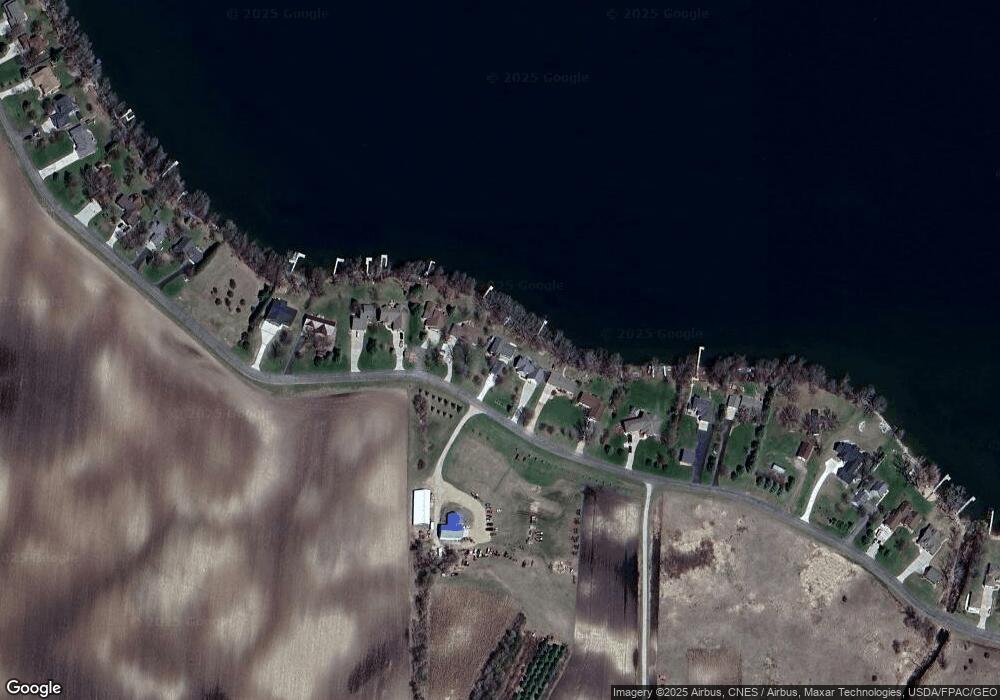
Map
Nearby Homes
- 870 S Andrew Dr NE
- 1122 S Andrew Dr NE
- 17216 County Road 5 NW
- 3614 198th Ave NW
- 23000 5th St NW
- 22869 5th St NW
- TBD Lot E Co Rd 40
- 1245 137th Ave NW
- TBD Lot H Co Rd 40
- 13112 2nd St NE
- 311 131st Ave NE
- 20983 72nd St NW
- 4539 141st Ave NE
- xxxx 195th Ave NE
- 4316 133rd Ave NE
- TBD Pine St NW
- 232 1st Ave NW
- 108 Meadow Ln
- 104 Meadow Ln
- 122 Ridge Rd
- 410 S Andrew Dr NW
- 460 S Andrew Dr NW
- 482 S Andrew Dr NW
- 620 S Andrew Dr NW
- 654 S Andrew Dr NW
- 344 S Andrew Dr NW
- 330 S Andrew Dr NW
- 688 S Andrew Dr NW
- 324 S Andrew Dr NW
- 718 S Andrew Dr NW
- 322 S Andrew Dr NW
- 318 S Andrew Dr NW
- 316 S Andrew Dr NW
- 786 S Andrew Dr NW
- 310 S Andrew Dr NW
- 802 S Andrew Dr NW
- 822 S Andrew Dr NW
- 282 S Andrew Dr NW
- 838 S Andrew Dr NW
- 240 S Andrew Dr NW