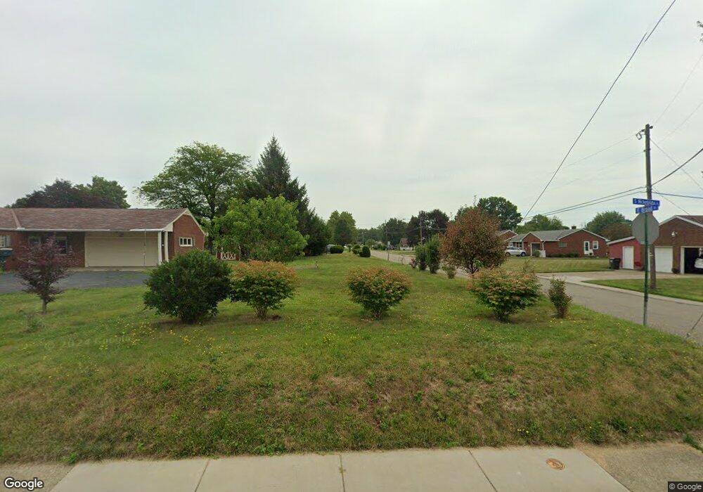
426 S Nickelplate St Louisville, OH 44641
Estimated Value: $197,000 - $239,000
--
Bed
1
Bath
--
Sq Ft
4,661
Sq Ft Lot
About This Home
This home is located at 426 S Nickelplate St, Louisville, OH 44641 and is currently estimated at $215,000. 426 S Nickelplate St is a home located in Stark County with nearby schools including Louisville High School and St. Thomas Aquinas High School & Middle School.
Ownership History
Date
Name
Owned For
Owner Type
Purchase Details
Closed on
Jun 6, 2025
Sold by
Patterson Steve K and Patterson Kathy M
Bought by
Vanvranken Todd M and Vanvranken Barbara L
Current Estimated Value
Home Financials for this Owner
Home Financials are based on the most recent Mortgage that was taken out on this home.
Original Mortgage
$90,000
Outstanding Balance
$89,769
Interest Rate
6.81%
Mortgage Type
New Conventional
Estimated Equity
$125,231
Purchase Details
Closed on
Aug 15, 2024
Sold by
Guidone Paul J
Bought by
Patterson Steve K and Patterson Kathy M
Home Financials for this Owner
Home Financials are based on the most recent Mortgage that was taken out on this home.
Original Mortgage
$90,337
Interest Rate
6.95%
Mortgage Type
New Conventional
Purchase Details
Closed on
Nov 21, 2016
Sold by
Stark County Land Reutilization Corp
Bought by
Guidone Paul J and Guidone Mary K
Purchase Details
Closed on
Oct 17, 2016
Sold by
Moore David
Bought by
Stark County Land Reutilization Corp
Purchase Details
Closed on
Apr 23, 2005
Sold by
Courter Vivian L and Moore Vivian L
Bought by
Moore David and Moore Vivian L
Home Financials for this Owner
Home Financials are based on the most recent Mortgage that was taken out on this home.
Original Mortgage
$76,950
Interest Rate
7.44%
Mortgage Type
Stand Alone Refi Refinance Of Original Loan
Purchase Details
Closed on
Jan 26, 2000
Sold by
Montague Regina A
Bought by
Courter Vivian L
Home Financials for this Owner
Home Financials are based on the most recent Mortgage that was taken out on this home.
Original Mortgage
$49,400
Interest Rate
7.84%
Mortgage Type
Purchase Money Mortgage
Purchase Details
Closed on
Jan 25, 2000
Sold by
Padgitt Judith E and Padgitt Judith E
Bought by
Montague Regina A
Home Financials for this Owner
Home Financials are based on the most recent Mortgage that was taken out on this home.
Original Mortgage
$49,400
Interest Rate
7.84%
Mortgage Type
Purchase Money Mortgage
Create a Home Valuation Report for This Property
The Home Valuation Report is an in-depth analysis detailing your home's value as well as a comparison with similar homes in the area
Home Values in the Area
Average Home Value in this Area
Purchase History
| Date | Buyer | Sale Price | Title Company |
|---|---|---|---|
| Vanvranken Todd M | $220,000 | None Listed On Document | |
| Patterson Steve K | $120,500 | None Listed On Document | |
| Guidone Paul J | -- | None Available | |
| Stark County Land Reutilization Corp | -- | None Available | |
| Moore David | -- | Americas Choice Title Agency | |
| Courter Vivian L | $52,000 | -- | |
| Montague Regina A | -- | -- |
Source: Public Records
Mortgage History
| Date | Status | Borrower | Loan Amount |
|---|---|---|---|
| Open | Vanvranken Todd M | $90,000 | |
| Previous Owner | Patterson Steve K | $90,337 | |
| Previous Owner | Moore David | $76,950 | |
| Previous Owner | Courter Vivian L | $49,400 |
Source: Public Records
Tax History Compared to Growth
Tax History
| Year | Tax Paid | Tax Assessment Tax Assessment Total Assessment is a certain percentage of the fair market value that is determined by local assessors to be the total taxable value of land and additions on the property. | Land | Improvement |
|---|---|---|---|---|
| 2025 | -- | $2,840 | $2,840 | -- |
| 2024 | -- | $2,840 | $2,840 | -- |
| 2023 | $119 | $2,700 | $2,700 | -- |
| 2022 | $119 | $2,700 | $2,700 | $0 |
| 2021 | $119 | $2,700 | $2,700 | $0 |
| 2020 | $99 | $2,420 | $2,420 | $0 |
| 2019 | $99 | $2,420 | $2,420 | $0 |
| 2018 | $99 | $2,420 | $2,420 | $0 |
| 2017 | $0 | $2,140 | $2,140 | $0 |
| 2016 | $0 | $2,140 | $2,140 | $0 |
| 2015 | $470 | $10,500 | $4,270 | $6,230 |
| 2014 | $159 | $13,030 | $3,680 | $9,350 |
| 2013 | $1,481 | $13,030 | $3,680 | $9,350 |
Source: Public Records
Map
Nearby Homes
- 308 Superior St
- 641 S Nickelplate St
- 520 S Silver St
- 728 E Broad St
- 1715 High St
- 0 Michigan Blvd
- 1812 E Broad St
- 204 E Broad St
- 107 E Broad St
- 325 Lincoln Ave
- 2015 E Main St
- 1170 Winding Ridge Ave
- 2110 Edmar St
- 908 Sand Lot Cir
- 910 Crosswyck Cir
- 428 Honeycrisp Dr NE
- 3047 Mcintosh Dr NE
- 432 Honeycrisp Dr NE
- 2962 Mcintosh Dr NE
- 2963 Mcintosh Dr NE
- 0 E Broad St
- 420 S Nickelplate St
- 506 S Nickelplate St
- 1215 E Broad St
- 427 S Nickelplate St
- 1122 E Broad St
- 402 S Nickelplate St
- 1216 E Broad St
- 417 S Nickelplate St
- 1223 E Broad St
- 1118 E Broad St
- 409 S Nickelplate St
- 1220 Monter Ave
- 1300 E Broad St
- 1110 E Broad St
- 1214 Monter Ave
- 1303 E Broad St
- 403 S Nickelplate St
- 1111 NE Broadway Ave NE
- 1103 E Broad St