426 Sloop Point Rd Hampstead, NC 28443
Estimated Value: $317,922 - $410,000
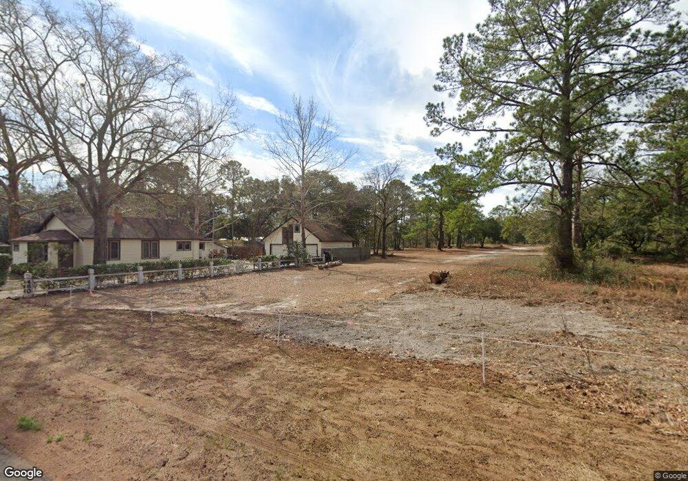
About This Home
This home is located at 426 Sloop Point Rd, Hampstead, NC 28443 and is currently estimated at $363,731, approximately $265 per square foot. 426 Sloop Point Rd is a home with nearby schools including Topsail Elementary School, Topsail Middle School, and Topsail High School.
Ownership History
We collect this data history from publicly available records. To have your information removed, we recommend requesting removal directly through your county’s website.
Purchase Details
Home Values in the Area
Average Home Value in this Area
Purchase History
We collect this data history from publicly available records. To have your information removed, we recommend requesting removal directly through your county’s website.
| Date | Buyer | Sale Price | Title Company |
|---|---|---|---|
| -- | -- |
Tax History
We collect this data history from publicly available records. To have your information removed, we recommend requesting removal directly through your county’s website.
| Year | Tax Paid | Tax Assessment Tax Assessment Total Assessment is a certain percentage of the fair market value that is determined by local assessors to be the total taxable value of land and additions on the property. | Land | Improvement |
|---|---|---|---|---|
| 2025 | $1,607 | $248,835 | $80,250 | $168,585 |
| 2024 | $1,607 | $152,156 | $32,197 | $119,959 |
| 2023 | $1,607 | $152,156 | $32,197 | $119,959 |
| 2022 | $1,487 | $152,156 | $32,197 | $119,959 |
| 2021 | $1,487 | $152,156 | $32,197 | $119,959 |
| 2020 | $1,487 | $152,156 | $32,197 | $119,959 |
| 2019 | $1,487 | $152,156 | $32,197 | $119,959 |
| 2018 | $1,394 | $134,501 | $27,500 | $107,001 |
| 2017 | $1,394 | $134,501 | $27,500 | $107,001 |
| 2016 | $1,380 | $134,501 | $27,500 | $107,001 |
| 2015 | $1,345 | $134,501 | $27,500 | $107,001 |
| 2014 | $1,073 | $134,501 | $27,500 | $107,001 |
| 2013 | -- | $134,501 | $27,500 | $107,001 |
| 2012 | -- | $134,501 | $27,500 | $107,001 |
Map
- 54 Stonegate Cir
- 23 Stonegate Cir
- 739 Sloop Point Rd
- 207 Westminster Way
- 330 Crown Pointe Dr
- 116 Mansfield Ct
- 808 Wildwood Cir
- 114 Killdeer Dr
- 506 Crown Pointe Dr
- 205 E Loon Ct
- Lot 9 Bay Harbor Dr
- Lot 49 Crown Pointe Dr
- Lot 48 Crown Pointe Dr
- Lot 41 Crown Pointe Dr
- Lot 42 Crown Pointe Dr
- Lot 45 Crown Pointe Dr
- 539 Union Bethel Rd
- 180 Avon Ct
- L3l Crystal Ct
- L3k Crystal Ct
- 516 Sloop Point Rd
- 460 Sloop Point Rd
- 554 Sloop Point Rd
- 21 Crown Pointe Dr
- 232 Hampton Ct
- 394 Sloop Point Rd
- 403 Sloop Point Rd
- 161 Hampton Ct
- 385 Sloop Point Rd
- 209 Hampton Ct
- 636 Sloop Point Rd
- 214 Hampton Ct
- 367 Sloop Point Rd
- 998 White Sand Rd
- 0 White Sand Rd
- 17 White Sand Rd
- 51 Stonegate Cir
- 183 Hampton Ct
- 86 White Sand Dr
- 162 Hampton Ct
Ask me questions while you tour the home.