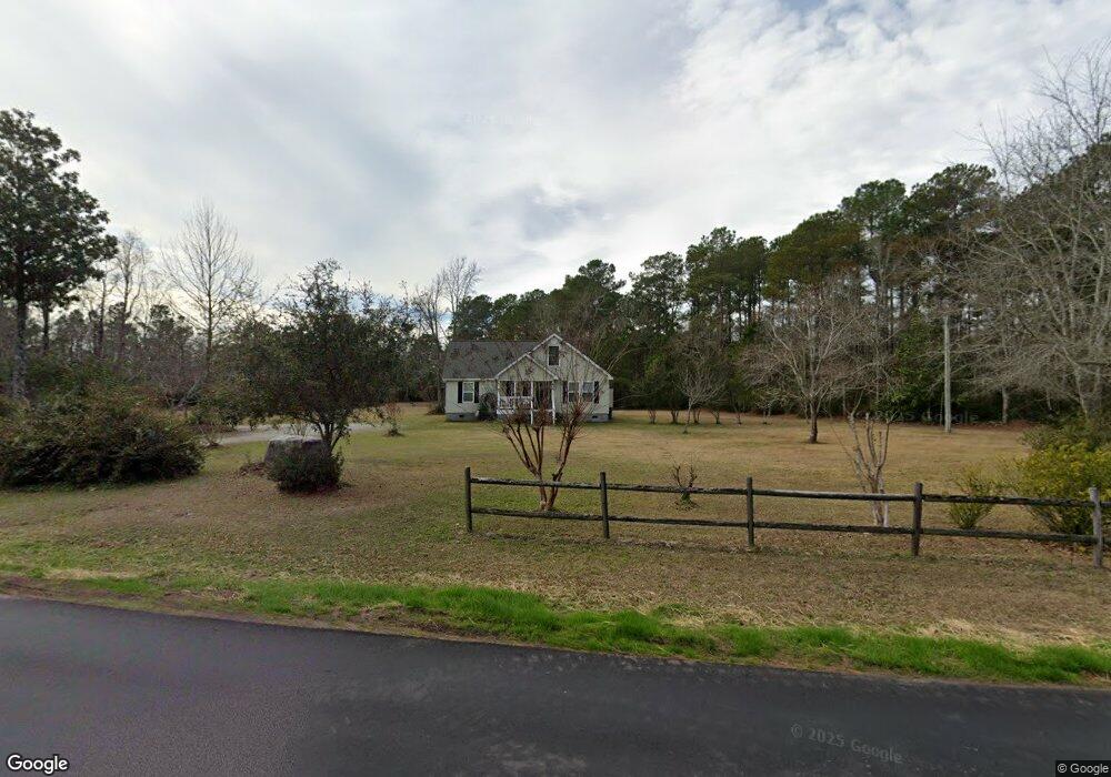
636 Sloop Point Rd Hampstead, NC 28443
Estimated Value: $471,000 - $739,000
About This Home
This home is located at 636 Sloop Point Rd, Hampstead, NC 28443 and is currently estimated at $577,890, approximately $245 per square foot. 636 Sloop Point Rd is a home located in Pender County with nearby schools including Topsail Elementary School, Topsail Middle School, and Topsail High School.
Ownership History
We collect this data history from publicly available records. To have your information removed, we recommend requesting removal directly through your county’s website.
Purchase Details
Home Financials for this Owner
Home Financials are based on the most recent Mortgage that was taken out on this home.Purchase Details
Home Financials for this Owner
Home Financials are based on the most recent Mortgage that was taken out on this home.Home Values in the Area
Average Home Value in this Area
Purchase History
We collect this data history from publicly available records. To have your information removed, we recommend requesting removal directly through your county’s website.
| Date | Buyer | Sale Price | Title Company |
|---|---|---|---|
| -- | None Available | ||
| -- | -- |
Mortgage History
We collect this data history from publicly available records. To have your information removed, we recommend requesting removal directly through your county’s website.
| Date | Status | Borrower | Loan Amount |
|---|---|---|---|
| Open | $127,600 | ||
| Previous Owner | $136,080 |
Tax History
We collect this data history from publicly available records. To have your information removed, we recommend requesting removal directly through your county’s website.
| Year | Tax Paid | Tax Assessment Tax Assessment Total Assessment is a certain percentage of the fair market value that is determined by local assessors to be the total taxable value of land and additions on the property. | Land | Improvement |
|---|---|---|---|---|
| 2025 | $2,330 | $509,004 | $177,500 | $331,504 |
| 2024 | $2,330 | $230,275 | $67,950 | $162,325 |
| 2023 | $2,027 | $230,275 | $67,950 | $162,325 |
| 2022 | $2,027 | $230,275 | $67,950 | $162,325 |
| 2021 | $2,027 | $230,275 | $67,950 | $162,325 |
| 2020 | $2,137 | $230,275 | $67,950 | $162,325 |
| 2019 | $2,137 | $230,275 | $67,950 | $162,325 |
| 2018 | $1,822 | $183,643 | $63,954 | $119,689 |
| 2017 | $1,822 | $183,643 | $63,954 | $119,689 |
| 2016 | $1,804 | $183,643 | $63,954 | $119,689 |
| 2015 | $1,769 | $183,643 | $63,954 | $119,689 |
| 2014 | $1,402 | $183,643 | $63,954 | $119,689 |
| 2013 | -- | $183,643 | $63,954 | $119,689 |
| 2012 | -- | $183,643 | $63,954 | $119,689 |
Map
- 739 Sloop Point Rd
- 54 Stonegate Cir
- 23 Stonegate Cir
- 330 Crown Pointe Dr
- 808 Wildwood Cir
- 116 Mansfield Ct
- 207 Westminster Way
- 506 Crown Pointe Dr
- 114 Killdeer Dr
- Lot 9 Bay Harbor Dr
- Lot 49 Crown Pointe Dr
- Lot 48 Crown Pointe Dr
- Lot 41 Crown Pointe Dr
- Lot 42 Crown Pointe Dr
- Lot 45 Crown Pointe Dr
- 180 Avon Ct
- 699 Crown Pointe Dr
- L3l Crystal Ct
- L3k Crystal Ct
- 205 E Loon Ct
- 554 Sloop Point Rd
- 740 Sloop Point Rd
- 716 Sloop Point Rd
- 716 Sloop Point Rd
- 632 Bay Harbor Dr
- 21 Crown Pointe Dr
- 758 Sloop Point Rd
- 792 Wildwood Cir
- 516 Sloop Point Rd
- 770 Sloop Point Rd
- 794 Wildwood Cir
- 426 Sloop Point Rd
- 631 Bay Harbor Dr
- 794 Sloop Point Rd
- 172 Crown Pointe Dr
- 795 Sloop Point Rd
- 795 Sloop Point
- 793 Wildwood Cir
- 150 Crown Pointe Dr
- 796 Wildwood Cir
Ask me questions while you tour the home.