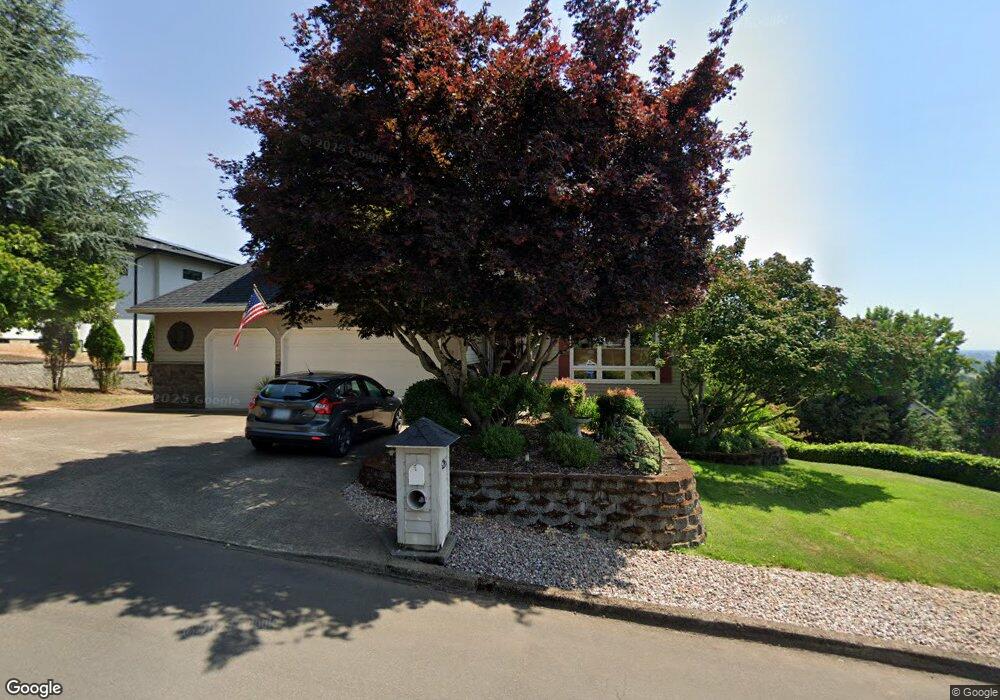
426 SW Alder St Dundee, OR 97115
Dundee NeighborhoodEstimated Value: $828,000 - $987,000
5
Beds
4
Baths
3,860
Sq Ft
$235/Sq Ft
Est. Value
About This Home
This home is located at 426 SW Alder St, Dundee, OR 97115 and is currently estimated at $907,085, approximately $234 per square foot. 426 SW Alder St is a home located in Yamhill County with nearby schools including Dundee Elementary School, Chehalem Valley Middle School, and Newberg Senior High School.
Ownership History
Date
Name
Owned For
Owner Type
Purchase Details
Closed on
Feb 21, 2017
Sold by
Cornick Douglas W and Cornick Deborah M
Bought by
Townley Christopher B and Townley Michelle R
Current Estimated Value
Home Financials for this Owner
Home Financials are based on the most recent Mortgage that was taken out on this home.
Original Mortgage
$474,000
Outstanding Balance
$390,953
Interest Rate
4.15%
Mortgage Type
New Conventional
Estimated Equity
$516,132
Create a Home Valuation Report for This Property
The Home Valuation Report is an in-depth analysis detailing your home's value as well as a comparison with similar homes in the area
Home Values in the Area
Average Home Value in this Area
Purchase History
| Date | Buyer | Sale Price | Title Company |
|---|---|---|---|
| Townley Christopher B | $614,000 | First American Title |
Source: Public Records
Mortgage History
| Date | Status | Borrower | Loan Amount |
|---|---|---|---|
| Open | Townley Christopher B | $474,000 |
Source: Public Records
Tax History Compared to Growth
Tax History
| Year | Tax Paid | Tax Assessment Tax Assessment Total Assessment is a certain percentage of the fair market value that is determined by local assessors to be the total taxable value of land and additions on the property. | Land | Improvement |
|---|---|---|---|---|
| 2025 | $7,938 | $562,164 | -- | -- |
| 2024 | $7,429 | $545,790 | -- | -- |
| 2023 | $7,220 | $529,893 | $0 | $0 |
| 2022 | $7,083 | $514,459 | $0 | $0 |
| 2021 | $6,940 | $499,475 | $0 | $0 |
| 2020 | $6,225 | $484,927 | $0 | $0 |
| 2019 | $6,225 | $470,803 | $0 | $0 |
| 2018 | $6,328 | $457,090 | $0 | $0 |
| 2017 | $6,896 | $443,777 | $0 | $0 |
| 2016 | $6,778 | $430,851 | $0 | $0 |
| 2015 | $6,540 | $418,303 | $0 | $0 |
| 2014 | $5,903 | $406,121 | $0 | $0 |
Source: Public Records
Map
Nearby Homes
- 1039 SW Upland Dr
- 409 SW Red Hills Dr
- 980 SW 7th St
- 623 SW 5th St
- 759 SW Carmen Heights Dr
- 310 SW Birch St
- 580 SW 9th St
- 287 SW Oliver Ct
- 625 SW 9th St Unit 32
- 1029 SW View Crest Dr
- 986 SW Tomahawk Place
- 166 NW Cherry St
- 906 SW Alder St Unit 4
- 179 Oregon 99w
- 1277 SW 11th St
- 10623 NE Fox Farm Rd
- 22305 NE Ilafern Ln
- 10580 NE Fox Farm Rd
- 20850 NE Big Fir Ln
- 9989 NE Trillium Ln
- 207 SW Alder St
- 1010 SW 2nd Place
- 199 SW Alder St
- 199 SW Alder St Unit 19
- 0 NW Alder St
- 160 SW Brier Ave
- 160 SW Brier Place
- 840 SW Upland Dr
- 526 SW Alder St
- 142 SW Brier Place
- 142 SW Brier Ave Unit 16
- 1008 SW 2nd Place
- 860 SW Upland Dr
- 171 SW Alder St
- 171 SW Alder St Unit 20
- 1007 SW 2nd Place
- 436 SW Dogwood Dr
- 438 SW Dogwood Dr
- 1119 SW 2nd St
- 1006 SW 2nd Place