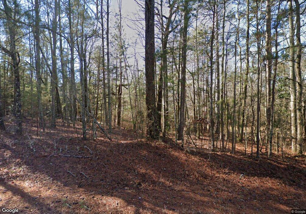
4261 Mars Hill Rd Bogart, GA 30622
Estimated Value: $742,000 - $932,987
--
Bed
--
Bath
2,613
Sq Ft
$312/Sq Ft
Est. Value
About This Home
This home is located at 4261 Mars Hill Rd, Bogart, GA 30622 and is currently estimated at $814,996, approximately $311 per square foot. 4261 Mars Hill Rd is a home located in Oconee County with nearby schools including Malcom Bridge Elementary School, Malcom Bridge Middle School, and North Oconee High School.
Ownership History
Date
Name
Owned For
Owner Type
Purchase Details
Closed on
Sep 23, 2019
Sold by
Crowe Hugh Dorsey
Bought by
Crowe Michael Todd and Crowe Paula Michelle
Current Estimated Value
Purchase Details
Closed on
Mar 5, 2008
Sold by
Not Provided
Bought by
Crowe Hugh D
Purchase Details
Closed on
Feb 6, 2007
Sold by
Not Provided
Bought by
Crowe Hugh D
Purchase Details
Closed on
Jul 20, 1998
Sold by
Crowe Crowe H and Crowe D
Bought by
Crowe Hugh D
Create a Home Valuation Report for This Property
The Home Valuation Report is an in-depth analysis detailing your home's value as well as a comparison with similar homes in the area
Home Values in the Area
Average Home Value in this Area
Purchase History
| Date | Buyer | Sale Price | Title Company |
|---|---|---|---|
| Crowe Michael Todd | -- | -- | |
| Crowe Hugh D | -- | -- | |
| Crowe Hugh D | -- | -- | |
| Crowe Hugh D | -- | -- |
Source: Public Records
Tax History Compared to Growth
Tax History
| Year | Tax Paid | Tax Assessment Tax Assessment Total Assessment is a certain percentage of the fair market value that is determined by local assessors to be the total taxable value of land and additions on the property. | Land | Improvement |
|---|---|---|---|---|
| 2024 | $1,430 | $339,199 | $241,785 | $97,414 |
| 2023 | $1,796 | $293,727 | $201,489 | $92,238 |
| 2022 | $2,039 | $261,269 | $183,173 | $78,096 |
| 2021 | $2,151 | $215,960 | $144,231 | $71,729 |
| 2020 | $1,641 | $180,432 | $112,236 | $68,196 |
| 2019 | $1,134 | $158,785 | $112,592 | $46,193 |
| 2018 | $1,066 | $155,046 | $112,592 | $42,454 |
| 2017 | $999 | $146,993 | $107,231 | $39,762 |
| 2016 | $974 | $137,476 | $98,654 | $38,822 |
| 2015 | $949 | $136,474 | $98,654 | $37,819 |
| 2014 | $923 | $113,767 | $77,796 | $35,971 |
| 2013 | -- | $120,408 | $86,484 | $33,923 |
Source: Public Records
Map
Nearby Homes
- 1216 Rays River Run
- 1010 Garland Dr
- 0 Whitehead Rd Unit CL335631
- 0 Whitehead Rd Unit 10574962
- 6601 Hog Mountain Hwy - Hwy 53 Unit PARCEL B
- 0 Us 78 Hwy
- 1 Us 78 Hwy
- 3451 Clayton Dr
- 3377 Clayton Dr
- 1216 Ray's River Run
- 3164 Malcom Estates Dr
- 1640 Madison Ct
- 2130 Keeneland Dr
- 2130 Keeneland Dr
- 1020 Timber Ridge Rd
- 1021 Bedford Trail
- 1081 Julian Dr Unit 4
- 1081 Julian Dr
- 737 Fitzroy Dr
- 0 Julian Dr Unit 10476456
- 0 Riverbend Station Unit 15LOTS 7410732
- 4331 Mars Hill Rd
- 13Lots Creekside Manor
- 1080 1080 Glenwood Ln
- 1123 Lancaster Ct
- 1741 Malcom Estates Dr Unit Lot 43
- 2531 Malcom Estates Ridge
- 2305 Malcom Estates Ridge
- 1710 Whistling Creek Crossing Unit Lot 18
- 1835 Whistling Creek Crossing Unit Lot 20
- 1381 Malcom Estates Ridge Unit Lot 38
- 2141 Malcom Estates Ridge Unit Lot 33
- 1797 Malcom Estates Ridge Unit Lot 35
- 1397 Brookside Terrace Unit 1010B
- 235 Bambi Trace
- 2853 Morningside Dr - Lot 13
- 2206 Morningside Way - Lot 30
- 2882 Morningside Drive - Lot 47
- 370 Cleveland Rd
- 2135 Cleveland Rd
