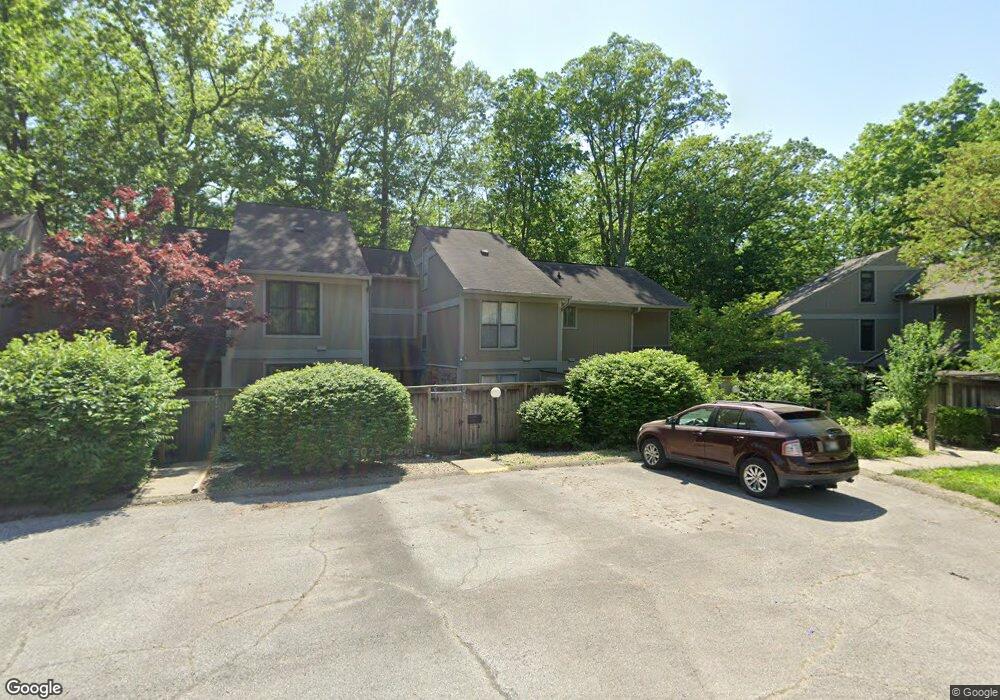
4262 Larkspur Trace Unit C4 Indianapolis, IN 46237
University Heights NeighborhoodEstimated Value: $131,000 - $150,256
3
Beds
3
Baths
1,766
Sq Ft
$78/Sq Ft
Est. Value
About This Home
This home is located at 4262 Larkspur Trace Unit C4, Indianapolis, IN 46237 and is currently estimated at $138,064, approximately $78 per square foot. 4262 Larkspur Trace Unit C4 is a home located in Marion County with nearby schools including Clinton Young Elementary School, Southport 6th Grade Academy, and Southport Middle School.
Ownership History
Date
Name
Owned For
Owner Type
Purchase Details
Closed on
Jun 23, 2009
Sold by
John Galt Enterprises Llc
Bought by
Allanson Lloyd R and Allanson Carla J
Current Estimated Value
Purchase Details
Closed on
Jan 13, 2009
Sold by
National City Bank
Bought by
John Galt Enterprises Llc
Purchase Details
Closed on
Jul 11, 2008
Sold by
Heirs At Law Of Claire Clemens
Bought by
National City Bank
Create a Home Valuation Report for This Property
The Home Valuation Report is an in-depth analysis detailing your home's value as well as a comparison with similar homes in the area
Home Values in the Area
Average Home Value in this Area
Purchase History
| Date | Buyer | Sale Price | Title Company |
|---|---|---|---|
| Allanson Lloyd R | -- | None Available | |
| John Galt Enterprises Llc | -- | None Available | |
| National City Bank | $70,000 | None Available |
Source: Public Records
Tax History Compared to Growth
Tax History
| Year | Tax Paid | Tax Assessment Tax Assessment Total Assessment is a certain percentage of the fair market value that is determined by local assessors to be the total taxable value of land and additions on the property. | Land | Improvement |
|---|---|---|---|---|
| 2024 | $1,388 | $123,800 | $12,500 | $111,300 |
| 2023 | $1,388 | $129,300 | $12,500 | $116,800 |
| 2022 | $1,287 | $114,000 | $12,500 | $101,500 |
| 2021 | $888 | $88,000 | $12,300 | $75,700 |
| 2020 | $683 | $77,400 | $12,300 | $65,100 |
| 2019 | $614 | $72,300 | $12,400 | $59,900 |
| 2018 | $530 | $60,900 | $12,400 | $48,500 |
| 2017 | $476 | $54,400 | $12,300 | $42,100 |
| 2016 | $500 | $56,600 | $12,400 | $44,200 |
| 2014 | $324 | $44,100 | $12,300 | $31,800 |
| 2013 | $355 | $96,300 | $12,300 | $84,000 |
Source: Public Records
Map
Nearby Homes
- 4219 Terra Dr
- 4235 Foxglove Trace
- 4261 Foxglove Trace
- 3731 Owster Ln
- 3510 Chamberlin Dr
- 3830 S Olney St
- 3611 Owster Ln
- 508 S 9th Ave
- 14 Melody Ct
- 3220 Chamberlin Dr
- 703 Redfern Dr
- 402 Cherry St
- 1445 Biloxi Ln
- 1117 Byland Dr
- 602 Memorial Dr
- 725 S 4th Ave
- 619 Memorial Dr
- 3410 Rue Chanel
- 227 S 12th Ave
- 1701 S 9th Ave
- 4262 Larkspur Trace
- 4258 Larkspur Trace
- 4266 Larkspur Trace
- 4266 Larkspur Trace Unit C
- 4270 Larkspur Trace
- 4274 Larkspur Trace
- 4274 Larkspur Trace Unit 2
- 4250 Larkspur Trace
- 4250 Larkspur Trace Unit D-2
- 4246 Larkspur Trace
- 4254 Larkspur Trace
- 4242 Larkspur Trace
- 4238 Larkspur Trace
- 4236 Larkspur Trace
- 4234 Larkspur Trace
- 4278 Larkspur Trace
- 4278 Larkspur Trace Unit B4
- 3834 Wilderness Trail
- 3836 Wilderness Trail
- 3826 Wilderness Trail