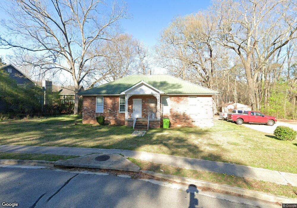
4265 Floyd Rd Austell, GA 30106
Estimated Value: $265,584 - $344,000
4
Beds
2
Baths
1,488
Sq Ft
$193/Sq Ft
Est. Value
About This Home
This home is located at 4265 Floyd Rd, Austell, GA 30106 and is currently estimated at $287,896, approximately $193 per square foot. 4265 Floyd Rd is a home located in Cobb County with nearby schools including Deerwood Elementary School, Russell Elementary School, and Floyd Middle School.
Ownership History
Date
Name
Owned For
Owner Type
Purchase Details
Closed on
Aug 4, 2009
Sold by
Us Bk Na
Bought by
Neal Van A
Current Estimated Value
Purchase Details
Closed on
Oct 7, 2008
Sold by
Masscary Nicole
Bought by
Us Bk Na
Purchase Details
Closed on
Jul 30, 2007
Sold by
Nash Nancy S
Bought by
Mascary Nicole
Home Financials for this Owner
Home Financials are based on the most recent Mortgage that was taken out on this home.
Original Mortgage
$135,000
Interest Rate
6.63%
Mortgage Type
New Conventional
Create a Home Valuation Report for This Property
The Home Valuation Report is an in-depth analysis detailing your home's value as well as a comparison with similar homes in the area
Home Values in the Area
Average Home Value in this Area
Purchase History
| Date | Buyer | Sale Price | Title Company |
|---|---|---|---|
| Neal Van A | $40,000 | -- | |
| Us Bk Na | $71,150 | -- | |
| Mascary Nicole | $135,000 | -- |
Source: Public Records
Mortgage History
| Date | Status | Borrower | Loan Amount |
|---|---|---|---|
| Previous Owner | Mascary Nicole | $135,000 |
Source: Public Records
Tax History Compared to Growth
Tax History
| Year | Tax Paid | Tax Assessment Tax Assessment Total Assessment is a certain percentage of the fair market value that is determined by local assessors to be the total taxable value of land and additions on the property. | Land | Improvement |
|---|---|---|---|---|
| 2025 | $2,334 | $77,460 | $27,360 | $50,100 |
| 2024 | $2,335 | $77,460 | $27,360 | $50,100 |
| 2023 | $1,969 | $65,312 | $30,240 | $35,072 |
| 2022 | $1,699 | $55,980 | $25,920 | $30,060 |
| 2021 | $1,595 | $52,544 | $24,480 | $28,064 |
| 2020 | $1,420 | $46,784 | $18,720 | $28,064 |
| 2019 | $1,420 | $46,784 | $18,720 | $28,064 |
| 2018 | $983 | $32,392 | $10,080 | $22,312 |
| 2017 | $931 | $32,392 | $10,080 | $22,312 |
| 2016 | $858 | $29,836 | $8,640 | $21,196 |
| 2015 | $807 | $27,380 | $8,640 | $18,740 |
| 2014 | $813 | $27,380 | $0 | $0 |
Source: Public Records
Map
Nearby Homes
- 1097 Trestle Dr
- 1240 Parktown Dr Unit 4
- 936 Tyrell Dr
- 4072 Elsdon Dr
- 4201 Regal Ridge Rd
- 1078 Hibiscus Way SW
- 1146 Silvergate Ln
- 1021 Wisteria Dr SW
- 895 Tyrell Dr
- 960 Verlander Trail
- 971 Verlander Trail
- 4406 Yelverton Place
- 4200 Citizen Cir Unit 3
- 4612 Springside Ct SW
- Kaufman Plan at Wilkins Walk
- Bryson Plan at Wilkins Walk
- Brooks Plan at Wilkins Walk
- 4569 Moray Dr
- 4581 Moray Dr
- 1096 Whistle Dr
- 1092 Whistle Dr Unit 1
- 4272 Floyd Rd
- 4211 Floyd Rd
- 1088 Whistle Dr
- 1160 Anderson Mill Rd
- 4248 Floyd Rd Unit 1
- 4248 Floyd Rd
- 0 Pullman Ct Unit 7538246
- 0 Pullman Ct Unit 7098795
- 0 Pullman Ct Unit 8862282
- 0 Pullman Ct Unit 8479794
- 0 Pullman Ct Unit 8413518
- 4229 Pullman Ct
- 1186 Anderson Mill Rd
- 4224 Pullan Ct Unit AUSTELL
- 4224 Pullman Ct
- 4224 Pullman Ct Unit AUSTELL
- 1080 Whistle Dr
- 1159 Anderson Mill Rd