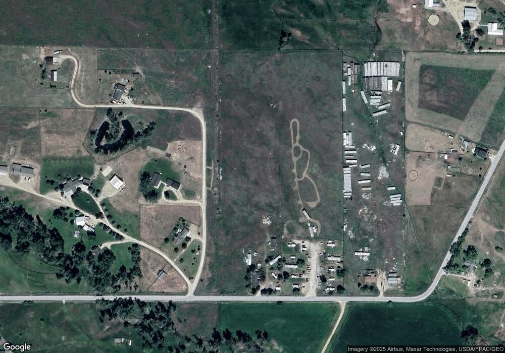
4265 Inez Rd Stevensville, MT 59870
Estimated Value: $184,000 - $1,009,115
3
Beds
3
Baths
4,524
Sq Ft
$157/Sq Ft
Est. Value
About This Home
This home is located at 4265 Inez Rd, Stevensville, MT 59870 and is currently estimated at $709,372, approximately $156 per square foot. 4265 Inez Rd is a home located in Ravalli County with nearby schools including Stevensville Elementary School, Stevensville Junior High School, and Stevensville High School.
Ownership History
Date
Name
Owned For
Owner Type
Purchase Details
Closed on
Mar 5, 2021
Sold by
Joy Packard M
Bought by
Milyard Betsy J
Current Estimated Value
Home Financials for this Owner
Home Financials are based on the most recent Mortgage that was taken out on this home.
Original Mortgage
$422,500
Outstanding Balance
$346,248
Interest Rate
2.7%
Mortgage Type
Construction
Estimated Equity
$363,124
Purchase Details
Closed on
Jul 28, 2003
Bought by
Banning Billy W and Banning Joy M
Create a Home Valuation Report for This Property
The Home Valuation Report is an in-depth analysis detailing your home's value as well as a comparison with similar homes in the area
Home Values in the Area
Average Home Value in this Area
Purchase History
| Date | Buyer | Sale Price | Title Company |
|---|---|---|---|
| Milyard Betsy J | $528,125 | Other | |
| Banning Billy W | -- | -- |
Source: Public Records
Mortgage History
| Date | Status | Borrower | Loan Amount |
|---|---|---|---|
| Open | Milyard Betsy J | $422,500 |
Source: Public Records
Tax History Compared to Growth
Tax History
| Year | Tax Paid | Tax Assessment Tax Assessment Total Assessment is a certain percentage of the fair market value that is determined by local assessors to be the total taxable value of land and additions on the property. | Land | Improvement |
|---|---|---|---|---|
| 2025 | $1,422 | $429,317 | $0 | $0 |
| 2024 | $2,046 | $360,666 | $0 | $0 |
| 2023 | $2,053 | $360,666 | $0 | $0 |
| 2022 | $1,869 | $263,568 | $0 | $0 |
| 2021 | $42 | $263,568 | $0 | $0 |
| 2020 | $39 | $228,654 | $0 | $0 |
| 2019 | $39 | $228,654 | $0 | $0 |
| 2018 | $35 | $210,183 | $0 | $0 |
| 2017 | $34 | $210,183 | $0 | $0 |
| 2016 | $32 | $202,801 | $0 | $0 |
| 2015 | $32 | $202,801 | $0 | $0 |
| 2014 | $282 | $127,343 | $0 | $0 |
Source: Public Records
Map
Nearby Homes
- 650 Hollibaugh Rd
- 302 Syringa St
- 522 Stevensville Airport Rd
- 586 Cash Nichols Rd
- 211 Middle Burnt Fork Rd
- 404 Pine St
- 413 5th St
- Lot 5 Bessie Ln
- 623 Park St Unit 3
- 308 8th St
- 304 10th St
- 724 Rising Sun Ln
- 1100 College St
- 408 Buck St
- 417 Kammie Ct
- 711 Middle Burnt Fork Rd
- 3808 Eastside Hwy
- 475 Echo Ridge
- 3806 Eastside Hwy
- NHN Mystic River Rd
- 4269 Allum Rd
- 4271 Allum Rd
- 4268 Allum Rd
- 4274 Allum Rd
- 4277 Paulee Ln
- 528 N Burnt Fork Rd
- nnn Paulee Ln
- 521 N Burnt Fork Rd
- 488 Sanlia Ln
- 4295 Paulee Ln
- 4295 Paulee Ln
- 449 Sanlia Ln
- Nhn Hawk''S Ln
- NHN Rambling River Rd
- NHN Rathbun Ln
- 443 Sanlia Ln
- 488 N Burnt Fork Rd
- 567 N Burnt Fork Rd
- NHN Paulee Ln
- 4324 Paulee Ln
