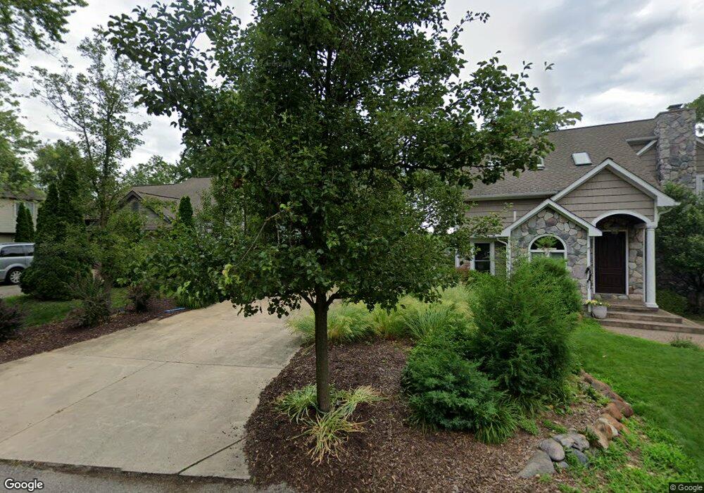
4265 Welland Dr West Bloomfield, MI 48323
Estimated Value: $303,000 - $346,000
3
Beds
3
Baths
1,338
Sq Ft
$240/Sq Ft
Est. Value
About This Home
This home is located at 4265 Welland Dr, West Bloomfield, MI 48323 and is currently estimated at $321,304, approximately $240 per square foot. 4265 Welland Dr is a home located in Oakland County with nearby schools including Walled Lake Central High School, Our Lady Of Refuge School, and Frankel Jewish Academy Of Metro Detroit.
Ownership History
Date
Name
Owned For
Owner Type
Purchase Details
Closed on
Jun 26, 2003
Sold by
Petoskey Jon S
Bought by
Tarczynski Carolynn
Current Estimated Value
Purchase Details
Closed on
Aug 13, 2001
Sold by
Antoun Michael T
Bought by
Petoskey Jon S
Home Financials for this Owner
Home Financials are based on the most recent Mortgage that was taken out on this home.
Original Mortgage
$89,250
Interest Rate
7.03%
Purchase Details
Closed on
Aug 20, 1999
Sold by
Markey Stephani
Bought by
Antoun Michael T
Purchase Details
Closed on
Jan 31, 1997
Sold by
Edmonds Kevin J
Bought by
Markey Stephani
Home Financials for this Owner
Home Financials are based on the most recent Mortgage that was taken out on this home.
Original Mortgage
$84,400
Interest Rate
7.73%
Create a Home Valuation Report for This Property
The Home Valuation Report is an in-depth analysis detailing your home's value as well as a comparison with similar homes in the area
Home Values in the Area
Average Home Value in this Area
Purchase History
| Date | Buyer | Sale Price | Title Company |
|---|---|---|---|
| Tarczynski Carolynn | $139,000 | Pioneer Title | |
| Petoskey Jon S | $119,000 | -- | |
| Antoun Michael T | $101,500 | -- | |
| Markey Stephani | $85,000 | -- |
Source: Public Records
Mortgage History
| Date | Status | Borrower | Loan Amount |
|---|---|---|---|
| Previous Owner | Petoskey Jon S | $89,250 | |
| Previous Owner | Markey Stephani | $84,400 |
Source: Public Records
Tax History Compared to Growth
Tax History
| Year | Tax Paid | Tax Assessment Tax Assessment Total Assessment is a certain percentage of the fair market value that is determined by local assessors to be the total taxable value of land and additions on the property. | Land | Improvement |
|---|---|---|---|---|
| 2024 | $1,646 | $140,890 | $0 | $0 |
| 2022 | $1,552 | $127,730 | $19,840 | $107,890 |
| 2021 | $2,553 | $121,240 | $0 | $0 |
| 2020 | $1,534 | $114,860 | $19,840 | $95,020 |
| 2018 | $2,485 | $95,510 | $19,840 | $75,670 |
| 2015 | -- | $80,130 | $0 | $0 |
| 2014 | -- | $74,160 | $0 | $0 |
| 2011 | -- | $63,650 | $0 | $0 |
Source: Public Records
Map
Nearby Homes
- 4442 Borland St
- 4066 Green Lake Rd
- 6978 Colony Dr
- 0000 Langtoft
- 6675 Langtoft St
- 4335 Crestdale Ave
- 3991 Fieldview Ave
- 4245 Bunker Ave
- 3965 Carrick Ave
- 4540 Rolling Pine Ct
- 6980 Hambro St
- 3950 Bradmore Ave
- 6903 Dandison Blvd
- 4212 Greendale Ave
- 7337 Richardson Rd
- 6768 Buckland Ave
- 7381 Crestmore St
- 3632 Fieldview Ave
- 7359 Woodlore Dr
- 3641 Green Lake Rd
- 4251 Welland Dr
- 4273 Welland Dr
- 4235 Welland Dr
- 6785 Colony Dr
- 6763 Colony Dr
- 4307 Welland Dr
- 4264 Welland Dr
- 6885 Evershed Terrace
- 6749 Colony Dr
- 4320 Welland Dr
- 6903 Evershed Terrace
- 4319 Welland Dr
- 6918 Evershed Terrace
- 4210 Welland Dr
- 4187 Welland Dr
- 6915 Evershed Terrace
- 6890 Playfair Terrace
- 4332 Welland Dr
- 6739 Colony Dr
- 0000 Borland St