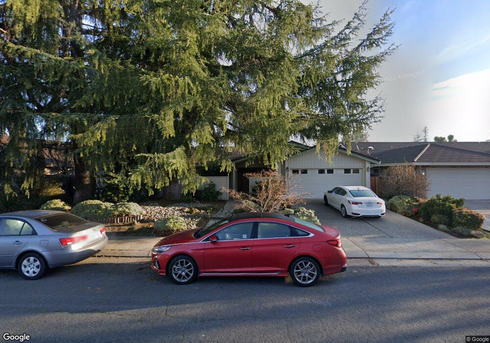
4266 Boulder Creek Cir Stockton, CA 95219
Brookside NeighborhoodEstimated Value: $426,000 - $560,000
4
Beds
2
Baths
1,875
Sq Ft
$268/Sq Ft
Est. Value
About This Home
This home is located at 4266 Boulder Creek Cir, Stockton, CA 95219 and is currently estimated at $501,891, approximately $267 per square foot. 4266 Boulder Creek Cir is a home located in San Joaquin County with nearby schools including Claudia Landeen School, Sierra Middle School, and Lincoln High School.
Ownership History
Date
Name
Owned For
Owner Type
Purchase Details
Closed on
Oct 26, 2021
Sold by
Ellen Lauper Frances
Bought by
Frances E Lauper 2013 Trust
Current Estimated Value
Purchase Details
Closed on
Jul 22, 1997
Sold by
Atkins Mariedna E and Alice Kathleen
Bought by
Lauper John B and Lauper Lorraine M
Home Financials for this Owner
Home Financials are based on the most recent Mortgage that was taken out on this home.
Original Mortgage
$70,000
Interest Rate
7.58%
Create a Home Valuation Report for This Property
The Home Valuation Report is an in-depth analysis detailing your home's value as well as a comparison with similar homes in the area
Home Values in the Area
Average Home Value in this Area
Purchase History
| Date | Buyer | Sale Price | Title Company |
|---|---|---|---|
| Frances E Lauper 2013 Trust | -- | -- | |
| Lauper John B | $150,000 | Nortwestern Title Company |
Source: Public Records
Mortgage History
| Date | Status | Borrower | Loan Amount |
|---|---|---|---|
| Previous Owner | Lauper John B | $70,000 |
Source: Public Records
Tax History Compared to Growth
Tax History
| Year | Tax Paid | Tax Assessment Tax Assessment Total Assessment is a certain percentage of the fair market value that is determined by local assessors to be the total taxable value of land and additions on the property. | Land | Improvement |
|---|---|---|---|---|
| 2025 | $2,901 | $239,495 | $71,847 | $167,648 |
| 2024 | $2,838 | $234,800 | $70,439 | $164,361 |
| 2023 | $2,812 | $230,197 | $69,058 | $161,139 |
| 2022 | $2,572 | $225,684 | $67,704 | $157,980 |
| 2021 | $2,536 | $221,260 | $66,377 | $154,883 |
| 2020 | $2,535 | $218,992 | $65,697 | $153,295 |
| 2019 | $2,494 | $214,699 | $64,409 | $150,290 |
| 2018 | $2,557 | $210,491 | $63,147 | $147,344 |
| 2017 | $2,506 | $206,364 | $61,909 | $144,455 |
| 2016 | $2,480 | $202,319 | $60,696 | $141,623 |
| 2015 | $2,455 | $199,280 | $59,784 | $139,496 |
| 2014 | $2,422 | $195,377 | $58,613 | $136,764 |
Source: Public Records
Map
Nearby Homes
- 4273 Boulder Creek Cir
- 4368 Boulder Creek Cir
- 4231 Pinehurst Cir
- 4224 Pinehurst Cir
- 4240 Pinehurst Cir
- 3836 Delano Ave
- 2925 de Ovan Ave
- 3225 de Ovan Ave
- 2868 Christina Ave
- 3100 Christina Ave
- 3621 de Ovan Ave
- 4335 Gleneagles Ct
- 3743 Saint Andrews Dr
- 2755 Inman Ave
- 3663 Saint Andrews Dr Unit 16
- 3653 Saint Andrews Dr Unit 14
- 3865 Gleneagles Dr
- 4583 Pine Valley Cir
- 2351 Del Rio Dr
- 3668 Whispering Creek Cir
- 4262 Boulder Creek Cir
- 4274 Boulder Creek Cir
- 4331 Morning Brook Ct
- 4343 Morning Brook Ct
- 4258 Boulder Creek Cir
- 4351 Morning Brook Ct
- 4319 Morning Brook Ct
- 4265 Boulder Creek Cir
- 4254 Boulder Creek Cir
- 4269 Boulder Creek Cir
- 4261 Boulder Creek Cir
- 4302 Boulder Creek Cir
- 4303 Morning Brook Ct
- 4253 Boulder Creek Cir
- 4277 Boulder Creek Cir
- 2927 Raintree Ct
- 2921 Raintree Ct
- 4344 Morning Brook Ct
- 2915 Raintree Ct
- 4332 Morning Brook Ct