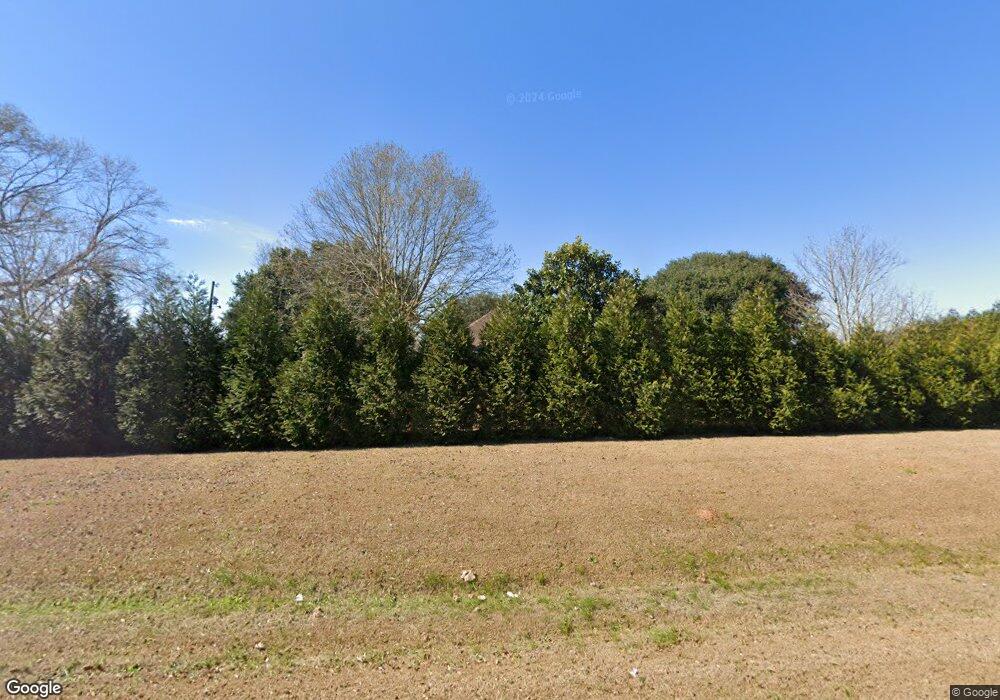
4267 Highway 613 Lucedale, MS 39452
Estimated Value: $288,000 - $415,238
Studio
2
Baths
2,824
Sq Ft
$124/Sq Ft
Est. Value
About This Home
This home is located at 4267 Highway 613, Lucedale, MS 39452 and is currently estimated at $351,560, approximately $124 per square foot. 4267 Highway 613 is a home located in George County with nearby schools including George County High School.
Ownership History
Date
Name
Owned For
Owner Type
Purchase Details
Closed on
Feb 7, 2019
Sold by
Brown David S and Brown Margaret Kathryn
Bought by
Ely Caleb N
Current Estimated Value
Home Financials for this Owner
Home Financials are based on the most recent Mortgage that was taken out on this home.
Original Mortgage
$150,130
Outstanding Balance
$134,892
Interest Rate
5.75%
Mortgage Type
FHA
Estimated Equity
$216,668
Create a Home Valuation Report for This Property
The Home Valuation Report is an in-depth analysis detailing your home's value as well as a comparison with similar homes in the area
Purchase History
| Date | Buyer | Sale Price | Title Company |
|---|---|---|---|
| Ely Caleb N | -- | None Available |
Source: Public Records
Mortgage History
| Date | Status | Borrower | Loan Amount |
|---|---|---|---|
| Open | Ely Caleb N | $150,130 |
Source: Public Records
Tax History
| Year | Tax Paid | Tax Assessment Tax Assessment Total Assessment is a certain percentage of the fair market value that is determined by local assessors to be the total taxable value of land and additions on the property. | Land | Improvement |
|---|---|---|---|---|
| 2025 | $1,128 | $23,174 | $0 | $0 |
| 2024 | $1,278 | $17,944 | $0 | $0 |
| 2023 | $1,366 | $19,807 | $0 | $0 |
| 2022 | $1,367 | $19,821 | $0 | $0 |
| 2021 | $1,362 | $19,774 | $0 | $0 |
| 2019 | $1,366 | $18,679 | $0 | $0 |
| 2018 | $1,368 | $18,692 | $0 | $0 |
| 2015 | -- | $18,239 | $0 | $0 |
| 2014 | -- | $18,194 | $0 | $0 |
Source: Public Records
Map
Nearby Homes
- 28 Acres Harmon Pope Rd
- 118 Trevor Ln
- 120 Trevor Ln
- 117 Parker Rd
- 1130 Dozier Rogers Rd
- Lot 26 Sandstone Cove
- 8105 Highway 613
- 3248 Stonecypher Rd
- 3183 Tannertown Rd Unit Lot 2
- 210 Marshall Smith Rd
- 220 Marshall Smith Rd
- 0 Bonnett Ln
- 76 Acres Mississippi 612
- 188 Devaughn Rd
- 114 Crepemyrtle Ln
- 0 Marshall Smith Rd Unit 4135585
- 1273 Stonecypher Rd
- 1214 Marshall Smith Rd
- 2162 Barton-Agricola Rd
- 0 Ccc Rd
- 5138 Highway 613
- 5171 Highway 613
- 5135 Highway 613
- 5116 Highway 613
- 5148 Highway 613
- 58 New Hope Church Rd Unit Ac
- 58 New Hope Church Rd
- 147 New Hope Church Rd
- 126 Summers Ln
- 179 Walter Pope Rd
- 173 Walter Pope Rd
- 183 Walter Pope Rd
- 191 Walter Pope Rd
- 5191 Highway 613
- 134 Summers Ln
- LOT 6 Lot 6 Still Water Dr
- 4259 Highway 613
- 4241 Highway 613
- 131 Radcliff Dr
- 109 Radcliff Dr
Your Personal Tour Guide
Ask me questions while you tour the home.
