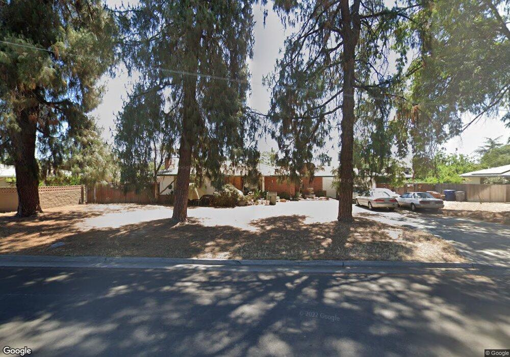
4268 N Carruth Ave Fresno, CA 93705
Bullard NeighborhoodEstimated Value: $440,228 - $568,000
2
Beds
2
Baths
2,404
Sq Ft
$205/Sq Ft
Est. Value
About This Home
This home is located at 4268 N Carruth Ave, Fresno, CA 93705 and is currently estimated at $492,307, approximately $204 per square foot. 4268 N Carruth Ave is a home located in Fresno County with nearby schools including Powers-Ginsburg Elementary, Bullard High School, and Aspen Valley Prep Academy.
Ownership History
Date
Name
Owned For
Owner Type
Purchase Details
Closed on
Apr 10, 2001
Sold by
Torrestowers Jill A
Bought by
Torrestowers Paul B
Current Estimated Value
Home Financials for this Owner
Home Financials are based on the most recent Mortgage that was taken out on this home.
Original Mortgage
$99,750
Interest Rate
6.98%
Purchase Details
Closed on
Feb 13, 2001
Sold by
Gregory Nancy M and Coombs Nancy M
Bought by
Torrestowers Paul B
Home Financials for this Owner
Home Financials are based on the most recent Mortgage that was taken out on this home.
Original Mortgage
$99,750
Interest Rate
6.98%
Create a Home Valuation Report for This Property
The Home Valuation Report is an in-depth analysis detailing your home's value as well as a comparison with similar homes in the area
Home Values in the Area
Average Home Value in this Area
Purchase History
| Date | Buyer | Sale Price | Title Company |
|---|---|---|---|
| Torrestowers Paul B | -- | Fidelity National Title Co | |
| Torrestowers Paul B | $105,000 | Fidelity National Title Co |
Source: Public Records
Mortgage History
| Date | Status | Borrower | Loan Amount |
|---|---|---|---|
| Previous Owner | Torrestowers Paul B | $99,750 |
Source: Public Records
Tax History Compared to Growth
Tax History
| Year | Tax Paid | Tax Assessment Tax Assessment Total Assessment is a certain percentage of the fair market value that is determined by local assessors to be the total taxable value of land and additions on the property. | Land | Improvement |
|---|---|---|---|---|
| 2025 | $1,902 | $158,192 | $60,260 | $97,932 |
| 2023 | $1,864 | $152,051 | $57,921 | $94,130 |
| 2022 | $1,837 | $149,071 | $56,786 | $92,285 |
| 2021 | $1,785 | $146,149 | $55,673 | $90,476 |
| 2020 | $1,777 | $144,652 | $55,103 | $89,549 |
| 2019 | $1,707 | $141,817 | $54,023 | $87,794 |
| 2018 | $1,669 | $139,037 | $52,964 | $86,073 |
| 2017 | $1,638 | $136,312 | $51,926 | $84,386 |
| 2016 | $1,583 | $133,640 | $50,908 | $82,732 |
| 2015 | $1,558 | $131,634 | $50,144 | $81,490 |
| 2014 | $1,525 | $129,056 | $49,162 | $79,894 |
Source: Public Records
Map
Nearby Homes
- 4246 N Holt Ave
- 4264 N Holt Ave
- 4261 N Holt Ave
- 1028 W Holland Ave
- 4366 N Holt Ave
- 929 W Norwich Ave
- 1027 W Ashcroft Ave
- 82 E Sussex Way
- 94 E Sussex Way
- 4702 N Fruit Ave
- 638 W Rialto Ave
- 4306 N Emerson Ave
- 4481 N Palm Ave
- 4480 N Palm Ave
- 1550 W Ashlan Ave Unit 134
- 1550 W Ashlan Ave Unit 229
- 1550 W Ashlan Ave Unit 208
- 1550 W Ashlan Ave Unit 241
- 1245 W Pico Ave
- 4666 N Harrison Ave
- 535 W Swift Ave
- 4246 N Carruth Ave
- 4265 N Fruit Ave
- 4253 N Fruit Ave
- 505 W Swift Ave
- 4213 N Carruth Ave
- 615 W Swift Ave
- 4211 N Carruth Ave
- 4234 N Carruth Ave
- 4235 N Fruit Ave
- 4207 N Carruth Ave
- 4268 N Fruit Ave
- 4268 N Delno Ave
- 4313 N Fruit Ave
- 4210 N Delno Ave
- 606 W Swift Ave
- 635 W Swift Ave
- 4218 N Carruth Ave
- 447 W Swift Ave
- 4217 N Fruit Ave