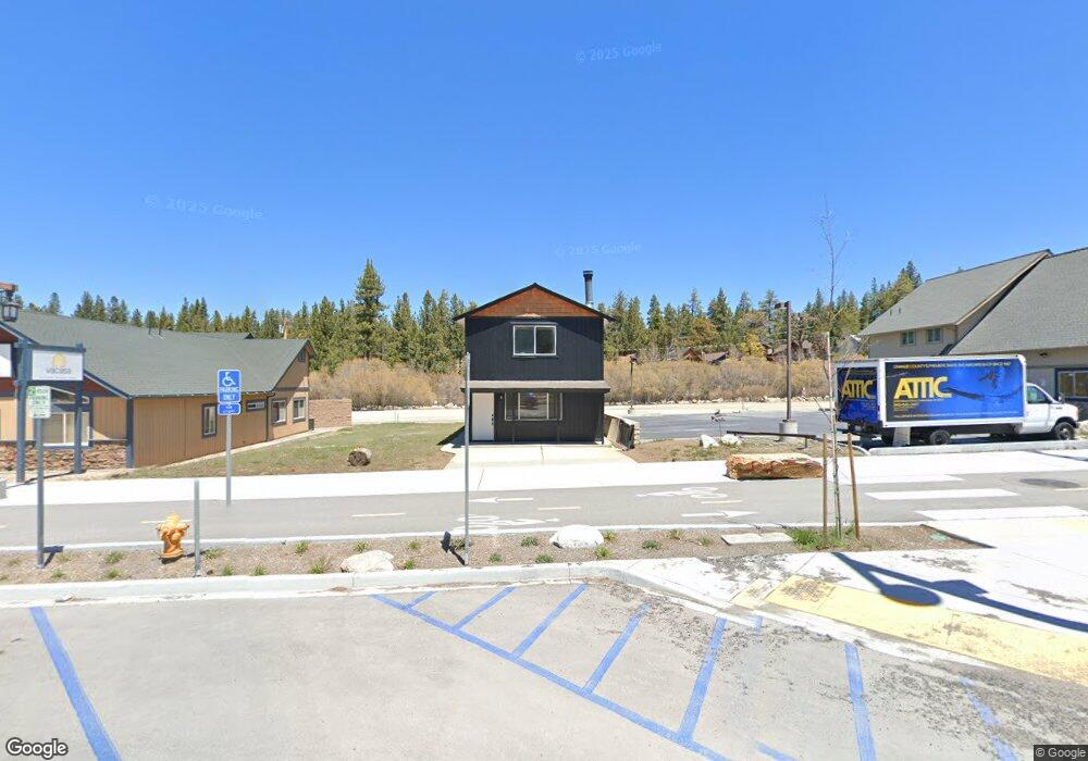
42692 Moonridge Rd Unit 2 Big Bear Lake, CA 92314
Estimated Value: $629,659 - $650,000
2
Beds
1
Bath
1,064
Sq Ft
$602/Sq Ft
Est. Value
About This Home
This home is located at 42692 Moonridge Rd Unit 2, Big Bear Lake, CA 92314 and is currently estimated at $640,415, approximately $601 per square foot. 42692 Moonridge Rd Unit 2 is a home located in San Bernardino County with nearby schools including Big Bear Middle School and Big Bear High School.
Ownership History
Date
Name
Owned For
Owner Type
Purchase Details
Closed on
Mar 26, 2024
Sold by
Lane Patrick M and Mcdaniel Sharon J
Bought by
Aslan Family Trust and Asian
Current Estimated Value
Purchase Details
Closed on
Jul 18, 2019
Sold by
Lane Dorothy E
Bought by
Lane Patrick M
Purchase Details
Closed on
Jun 10, 2011
Sold by
Lane Patrick
Bought by
Lane Dorothy E
Home Financials for this Owner
Home Financials are based on the most recent Mortgage that was taken out on this home.
Original Mortgage
$91,125
Interest Rate
4.63%
Mortgage Type
New Conventional
Purchase Details
Closed on
Jun 2, 2011
Sold by
Bac Home Loans Servicing Lp
Bought by
Lane Dorothy E
Home Financials for this Owner
Home Financials are based on the most recent Mortgage that was taken out on this home.
Original Mortgage
$91,125
Interest Rate
4.63%
Mortgage Type
New Conventional
Purchase Details
Closed on
Apr 28, 2010
Sold by
Albertson Stephen Michael and Albertson Heather
Bought by
Bac Home Loans Servicing Lp
Purchase Details
Closed on
Mar 23, 2006
Sold by
Prince George and Prince Sharon A
Bought by
Albertson Stephen Michael and Albertson Heather
Home Financials for this Owner
Home Financials are based on the most recent Mortgage that was taken out on this home.
Original Mortgage
$280,000
Interest Rate
6.29%
Mortgage Type
Fannie Mae Freddie Mac
Purchase Details
Closed on
Aug 2, 2001
Sold by
Keane John M and Keane Charlene
Bought by
Prince George and Prince Sharon A
Home Financials for this Owner
Home Financials are based on the most recent Mortgage that was taken out on this home.
Original Mortgage
$96,750
Interest Rate
8.77%
Mortgage Type
Purchase Money Mortgage
Purchase Details
Closed on
Oct 27, 1999
Sold by
Kalvoda Richard E
Bought by
Keane John M and Keane Charlene
Home Financials for this Owner
Home Financials are based on the most recent Mortgage that was taken out on this home.
Original Mortgage
$83,300
Interest Rate
7.82%
Mortgage Type
Purchase Money Mortgage
Purchase Details
Closed on
Feb 25, 1998
Sold by
Bear Mountain Ltd
Bought by
Kalvoda Richard E
Home Financials for this Owner
Home Financials are based on the most recent Mortgage that was taken out on this home.
Original Mortgage
$72,000
Interest Rate
7.06%
Mortgage Type
Purchase Money Mortgage
Create a Home Valuation Report for This Property
The Home Valuation Report is an in-depth analysis detailing your home's value as well as a comparison with similar homes in the area
Home Values in the Area
Average Home Value in this Area
Purchase History
| Date | Buyer | Sale Price | Title Company |
|---|---|---|---|
| Aslan Family Trust | $500,000 | Orange Coast Title Company | |
| Lane Patrick M | -- | Accommodation | |
| Lane Dorothy E | -- | Landsafe Title Of Ca Inc | |
| Lane Dorothy E | $121,500 | Landsafe Title Of Ca Inc | |
| Bac Home Loans Servicing Lp | $170,800 | Landsafe Title | |
| Albertson Stephen Michael | $350,000 | Commonwealth Land Title Co | |
| Prince George | $129,000 | Commonwealth Land Title Co | |
| Keane John M | $119,000 | First American Title | |
| Kalvoda Richard E | $90,000 | First American Title Ins Co |
Source: Public Records
Mortgage History
| Date | Status | Borrower | Loan Amount |
|---|---|---|---|
| Previous Owner | Lane Dorothy E | $91,125 | |
| Previous Owner | Albertson Stephen Michael | $280,000 | |
| Previous Owner | Prince George | $96,750 | |
| Previous Owner | Keane John M | $83,300 | |
| Previous Owner | Kalvoda Richard E | $72,000 |
Source: Public Records
Tax History Compared to Growth
Tax History
| Year | Tax Paid | Tax Assessment Tax Assessment Total Assessment is a certain percentage of the fair market value that is determined by local assessors to be the total taxable value of land and additions on the property. | Land | Improvement |
|---|---|---|---|---|
| 2025 | $4,107 | $510,000 | $61,200 | $448,800 |
| 2024 | $4,107 | $152,608 | $20,096 | $132,512 |
| 2023 | $3,773 | $149,616 | $19,702 | $129,914 |
| 2022 | $3,473 | $146,683 | $19,316 | $127,367 |
| 2021 | $3,289 | $143,807 | $18,937 | $124,870 |
| 2020 | $3,265 | $142,333 | $18,743 | $123,590 |
| 2019 | $3,276 | $139,542 | $18,375 | $121,167 |
| 2018 | $3,168 | $136,806 | $18,015 | $118,791 |
| 2017 | $3,066 | $134,124 | $17,662 | $116,462 |
| 2016 | $2,997 | $131,494 | $17,316 | $114,178 |
| 2015 | $2,969 | $129,519 | $17,056 | $112,463 |
| 2014 | $2,930 | $126,982 | $16,722 | $110,260 |
Source: Public Records
Map
Nearby Homes
- 42692 Moonridge Rd
- 42630 Moonridge Rd
- 42651 Falcon Ave
- 592 Douglas St
- 42673 Peregrine Ave
- 0 Cougar Rd
- 42676 La Placida Ave
- 42690 Cougar Rd
- 42817 Encino Rd
- 42769 Peregrine Ave
- 42651 La Placida Ave
- 42834 Sonoma Dr
- 42769 La Placida Ave
- 42704 Alta Vista Ave
- 42628 La Cerena Ave
- 42754 La Cerena Ave
- 42851 Monterey St
- Lot 15 Birch St
- 42533 Moonridge Rd
- 42533 Moonridge Rd Unit 4
- 42692 Moonridge Rd Unit 1
- 42692 Moonridge Rd
- 42698 Moonridge Rd
- 42672 Moonridge Rd
- 42670 Moonridge Rd
- 42662 Moonridge Rd
- 42718 Moonridge Rd
- 42718 Moonridge Rd Unit 3
- 42718 Moonridge Rd Unit 9
- 42718 Moonridge Rd Unit 5
- 42718 Moonridge Rd Unit 4
- 42718 Moonridge Rd Unit 8
- 42683 Moonridge Rd
- 42695 Moonridge Rd
- 42695 Moonridge Rd Unit A
- 42695 Moonridge Rd Unit C
- 42675 Moonridge Rd
- 42656 Moonridge Rd
- 42705 Moonridge Rd
- 42666 Falcon Ave