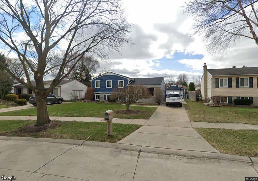
42694 Pheasant Run Dr Unit Bldg-Unit Sterling Heights, MI 48313
Estimated Value: $303,922 - $317,000
--
Bed
2
Baths
1,638
Sq Ft
$190/Sq Ft
Est. Value
About This Home
This home is located at 42694 Pheasant Run Dr Unit Bldg-Unit, Sterling Heights, MI 48313 and is currently estimated at $310,981, approximately $189 per square foot. 42694 Pheasant Run Dr Unit Bldg-Unit is a home located in Macomb County with nearby schools including Havel Elementary School, Bemis Junior High School, and Henry Ford II High School.
Ownership History
Date
Name
Owned For
Owner Type
Purchase Details
Closed on
Jul 10, 2018
Sold by
Henson Jennifer
Bought by
Pantaleon Milo and Pantaleon Stephanie
Current Estimated Value
Home Financials for this Owner
Home Financials are based on the most recent Mortgage that was taken out on this home.
Original Mortgage
$189,488
Outstanding Balance
$164,220
Interest Rate
4.5%
Mortgage Type
VA
Estimated Equity
$146,761
Purchase Details
Closed on
Dec 22, 2005
Sold by
Henson Christopher J
Bought by
Henson Jennifer
Home Financials for this Owner
Home Financials are based on the most recent Mortgage that was taken out on this home.
Original Mortgage
$175,493
Interest Rate
6.42%
Mortgage Type
FHA
Purchase Details
Closed on
Oct 17, 1998
Sold by
Hooks Karen Thompson
Bought by
Henson Christopher J
Create a Home Valuation Report for This Property
The Home Valuation Report is an in-depth analysis detailing your home's value as well as a comparison with similar homes in the area
Home Values in the Area
Average Home Value in this Area
Purchase History
| Date | Buyer | Sale Price | Title Company |
|---|---|---|---|
| Pantaleon Milo | $185,500 | First American Title Insuran | |
| Henson Jennifer | -- | American Land Title Agency I | |
| Henson Christopher J | $131,900 | -- |
Source: Public Records
Mortgage History
| Date | Status | Borrower | Loan Amount |
|---|---|---|---|
| Open | Pantaleon Milo | $189,488 | |
| Previous Owner | Henson Jennifer | $175,493 |
Source: Public Records
Tax History Compared to Growth
Tax History
| Year | Tax Paid | Tax Assessment Tax Assessment Total Assessment is a certain percentage of the fair market value that is determined by local assessors to be the total taxable value of land and additions on the property. | Land | Improvement |
|---|---|---|---|---|
| 2025 | $4,246 | $148,700 | $0 | $0 |
| 2024 | $3,883 | $132,000 | $0 | $0 |
| 2023 | $3,666 | $118,200 | $0 | $0 |
| 2022 | $3,821 | $106,800 | $0 | $0 |
| 2021 | $3,742 | $103,200 | $0 | $0 |
| 2020 | $3,338 | $99,800 | $0 | $0 |
| 2019 | $2,258 | $93,900 | $0 | $0 |
| 2018 | $2,449 | $80,700 | $0 | $0 |
| 2017 | $2,337 | $78,300 | $14,500 | $63,800 |
| 2016 | $2,258 | $78,300 | $0 | $0 |
| 2015 | -- | $69,800 | $0 | $0 |
| 2014 | -- | $61,300 | $0 | $0 |
Source: Public Records
Map
Nearby Homes
- 42708 Wilmington Dr
- 42811 Wilmington Dr
- 12840 19 Mile Rd
- 13299 Jennilynn Ln
- 42222 Mac Rae Dr
- 42153 Mac Rae Dr
- 13374 Wessel Ct
- 13431 Melanie Dr
- 43263 Hartwick Dr
- 13936 Grove Park Dr
- 41744 Mae Wood Dr
- 12133 Chattman Dr
- 43216 Pendleton Cir Unit 63
- 11898 Lewlund Dr
- 43489 Pendleton Cir Unit 13
- 41222 Paign Dr
- 42917 Freeport Dr
- 13980 Amanda Dr
- 12646 Bender Dr
- 11615 Diehl Dr
- 42694 Pheasant Run Dr
- 42706 Pheasant Run Dr
- 42682 Pheasant Run Dr
- 42670 Pheasant Run Dr
- 42720 Pheasant Run Dr
- 13063 Mair Dr
- 13075 Mair Dr
- 13051 Mair Dr
- 13087 Mair Dr
- 42699 Pheasant Run Dr
- 42658 Pheasant Run Dr
- 13039 Mair Dr
- 42681 Pheasant Run Dr
- 13101 Mair Dr
- 42732 Pheasant Run Dr
- 42737 Pheasant Run Dr
- 42663 Pheasant Run Dr
- 13027 Mair Dr
- 42646 Pheasant Run Dr
- 42746 Pheasant Run Dr