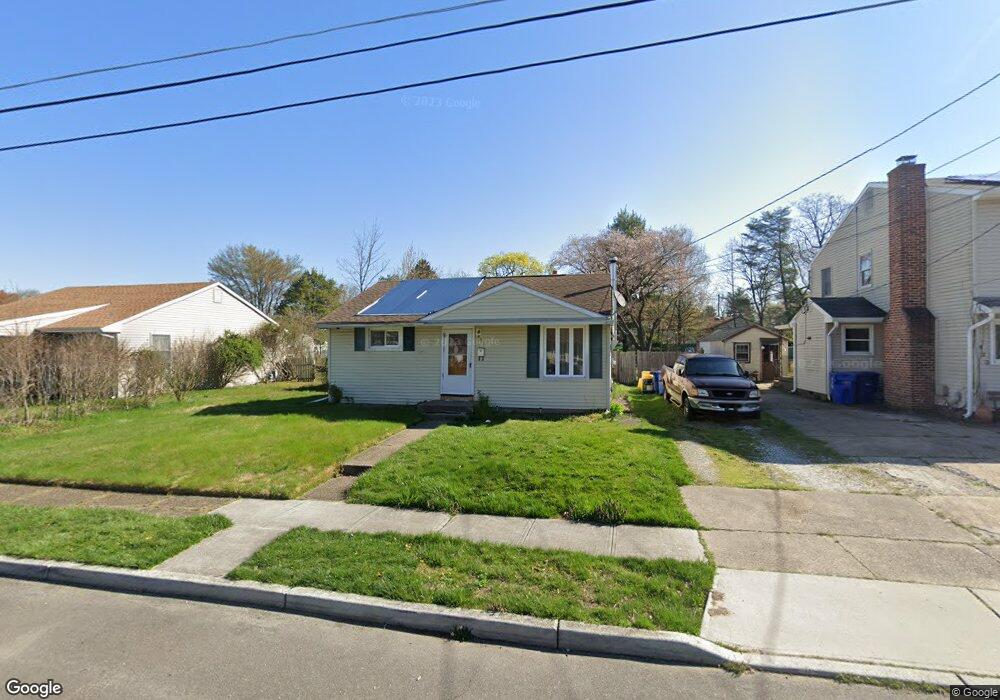
427 Oakland Ave Maple Shade, NJ 08052
Estimated Value: $220,000 - $316,000
--
Bed
--
Bath
1,088
Sq Ft
$238/Sq Ft
Est. Value
About This Home
This home is located at 427 Oakland Ave, Maple Shade, NJ 08052 and is currently estimated at $259,125, approximately $238 per square foot. 427 Oakland Ave is a home located in Burlington County with nearby schools including Ralph J Steinhauer Elementary School, Maude M. Wilkins Elementary School, and Howard R Yocum School.
Ownership History
Date
Name
Owned For
Owner Type
Purchase Details
Closed on
Jan 15, 1999
Sold by
Delany Rodger T and Delany Mary
Bought by
Mcwilliams Robert J
Current Estimated Value
Home Financials for this Owner
Home Financials are based on the most recent Mortgage that was taken out on this home.
Original Mortgage
$82,924
Outstanding Balance
$19,085
Interest Rate
6.67%
Mortgage Type
FHA
Estimated Equity
$240,040
Purchase Details
Closed on
Jan 24, 1994
Sold by
Rubino Helen
Bought by
Delany Rodger T
Home Financials for this Owner
Home Financials are based on the most recent Mortgage that was taken out on this home.
Original Mortgage
$81,000
Interest Rate
7.01%
Create a Home Valuation Report for This Property
The Home Valuation Report is an in-depth analysis detailing your home's value as well as a comparison with similar homes in the area
Home Values in the Area
Average Home Value in this Area
Purchase History
| Date | Buyer | Sale Price | Title Company |
|---|---|---|---|
| Mcwilliams Robert J | $83,000 | -- | |
| Delany Rodger T | $79,900 | -- |
Source: Public Records
Mortgage History
| Date | Status | Borrower | Loan Amount |
|---|---|---|---|
| Open | Mcwilliams Robert J | $82,924 | |
| Previous Owner | Delany Rodger T | $81,000 |
Source: Public Records
Tax History Compared to Growth
Tax History
| Year | Tax Paid | Tax Assessment Tax Assessment Total Assessment is a certain percentage of the fair market value that is determined by local assessors to be the total taxable value of land and additions on the property. | Land | Improvement |
|---|---|---|---|---|
| 2025 | $5,113 | $134,700 | $50,400 | $84,300 |
| 2024 | $4,965 | $134,700 | $50,400 | $84,300 |
| 2023 | $4,965 | $134,700 | $50,400 | $84,300 |
| 2022 | $4,888 | $134,700 | $50,400 | $84,300 |
| 2021 | $4,841 | $134,700 | $50,400 | $84,300 |
| 2020 | $4,855 | $134,700 | $50,400 | $84,300 |
| 2019 | $4,677 | $134,700 | $50,400 | $84,300 |
| 2018 | $4,596 | $134,700 | $50,400 | $84,300 |
| 2017 | $4,542 | $134,700 | $50,400 | $84,300 |
| 2016 | $4,475 | $134,700 | $50,400 | $84,300 |
| 2015 | $4,378 | $134,700 | $50,400 | $84,300 |
| 2014 | $4,244 | $134,700 | $50,400 | $84,300 |
Source: Public Records
Map
Nearby Homes
- 12 Collins Ln
- 432 N Coles Ave
- 301 N Coles Ave
- 29 W Broadway
- 505 Greenwood Ave
- 218 E Germantown Ave
- 48 N Terrace Ave
- 480 W Front St
- 22 Theodore Ave
- 104 E Laurelton Ave
- 425 Stiles Ave
- 15 N Poplar Ave
- 57 S Terrace Ave
- 124 Stiles Ave
- 19 Farnsworth Ave
- 2 Gainor Ave
- 431 E Park Ave
- 8515 Bryn Mawr Ave
- 107 S Forklanding Rd
- 8534 Orchard Ave
- 423 Oakland Ave
- 431 Oakland Ave
- 419 Oakland Ave
- 435 Oakland Ave
- 424 N Forklanding Rd
- 428 N Forklanding Rd
- 420 N Forklanding Rd
- 439 Oakland Ave
- 416 N Forklanding Rd
- 432 N Forklanding Rd
- 424 Oakland Ave
- 420 Oakland Ave
- 428 Oakland Ave
- 416 Oakland Ave
- 432 Oakland Ave
- 412 N Forklanding Rd
- 436 N Forklanding Rd
- 443 Oakland Ave
- 411 Oakland Ave
- 412 Oakland Ave