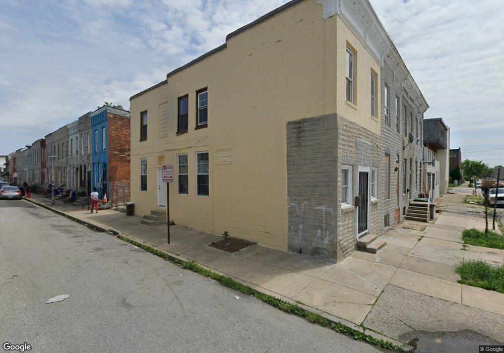
427 S Payson St Baltimore, MD 21223
Mount Clare NeighborhoodEstimated Value: $56,000 - $91,700
Studio
--
Bath
--
Sq Ft
828
Sq Ft Lot
About This Home
This home is located at 427 S Payson St, Baltimore, MD 21223 and is currently estimated at $73,850. 427 S Payson St is a home located in Baltimore City with nearby schools including Booker T. Washington Middle School, Digital Harbor High School, and Frederick Douglass High School.
Ownership History
Date
Name
Owned For
Owner Type
Purchase Details
Closed on
Feb 8, 2006
Sold by
Mack P Rew
Bought by
Mccaster Owen
Current Estimated Value
Home Financials for this Owner
Home Financials are based on the most recent Mortgage that was taken out on this home.
Original Mortgage
$39,000
Outstanding Balance
$22,137
Interest Rate
6.34%
Mortgage Type
Purchase Money Mortgage
Estimated Equity
$51,713
Purchase Details
Closed on
Dec 6, 2004
Sold by
Benner Leon T
Bought by
Mack P Andrew
Purchase Details
Closed on
May 5, 1999
Sold by
Benner Leon T
Bought by
Benner Leon T
Create a Home Valuation Report for This Property
The Home Valuation Report is an in-depth analysis detailing your home's value as well as a comparison with similar homes in the area
Home Values in the Area
Average Home Value in this Area
Purchase History
| Date | Buyer | Sale Price | Title Company |
|---|---|---|---|
| Mccaster Owen | $40,000 | -- | |
| Mack P Andrew | $10,000 | -- | |
| Benner Leon T | -- | -- |
Source: Public Records
Mortgage History
| Date | Status | Borrower | Loan Amount |
|---|---|---|---|
| Open | Mccaster Owen | $39,000 |
Source: Public Records
Tax History
| Year | Tax Paid | Tax Assessment Tax Assessment Total Assessment is a certain percentage of the fair market value that is determined by local assessors to be the total taxable value of land and additions on the property. | Land | Improvement |
|---|---|---|---|---|
| 2025 | $642 | $31,667 | -- | -- |
| 2024 | $642 | $27,333 | -- | -- |
| 2023 | $543 | $23,000 | $4,000 | $19,000 |
| 2022 | $480 | $20,333 | $0 | $0 |
| 2021 | $417 | $17,667 | $0 | $0 |
| 2020 | $354 | $15,000 | $3,000 | $12,000 |
| 2019 | $352 | $15,000 | $3,000 | $12,000 |
| 2018 | $354 | $15,000 | $3,000 | $12,000 |
| 2017 | $354 | $15,000 | $0 | $0 |
| 2016 | $355 | $15,000 | $0 | $0 |
| 2015 | $355 | $15,000 | $0 | $0 |
| 2014 | $355 | $15,000 | $0 | $0 |
Source: Public Records
Map
Nearby Homes
- 430 S Payson St
- 2008 Wilkens Ave
- 1932 Christian St
- 1930 Christian St
- 1919 Christian St
- 1913 Christian St
- 409 S Pulaski St
- 510 S Payson St
- 2012 Eagle St
- 346 S Payson St
- 328 S Payson St
- 2017 Eagle St
- 2108 Ashton St
- 2132 Wilkens Ave
- 1928 Wilhelm St
- 2122 Ashton St
- 312 S Pulaski St
- 1839 Ramsay St
- 1840 Ramsay St
- 2130 Eagle St
- 429 S Payson St
- 431 S Payson St
- 1939 Christian St
- 433 S Payson St
- 1937 Christian St
- 425 S Payson St
- 1935 Christian St
- 423 S Payson St
- 1933 Christian St
- 421 S Payson St
- 1931 Christian St
- 419 S Payson St
- 1929 Christian St
- 1938 Christian St
- 1936 Christian St
- 1927 Christian St
- 417 S Payson St
- 1932 Wilkens Ave
- 1934 Wilkens Ave
- 1934 Christian St
Your Personal Tour Guide
Ask me questions while you tour the home.