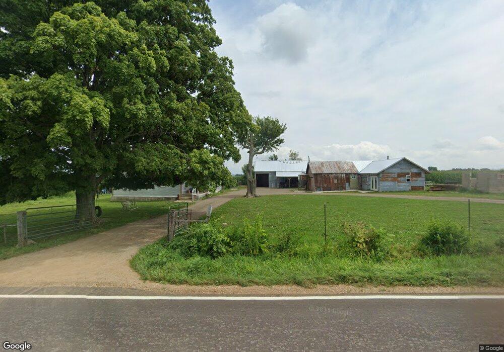
427 Stringtown Rd Reading, MI 49274
Estimated Value: $130,000 - $160,000
5
Beds
1
Bath
1,567
Sq Ft
$93/Sq Ft
Est. Value
About This Home
This home is located at 427 Stringtown Rd, Reading, MI 49274 and is currently estimated at $145,502, approximately $92 per square foot. 427 Stringtown Rd is a home located in Branch County with nearby schools including Reynolds Elementary School and Reading High School.
Ownership History
Date
Name
Owned For
Owner Type
Purchase Details
Closed on
Feb 16, 2005
Sold by
Welsh Cindy Lee and Baker Richard
Bought by
Halliwill Brenda L
Current Estimated Value
Home Financials for this Owner
Home Financials are based on the most recent Mortgage that was taken out on this home.
Original Mortgage
$62,400
Interest Rate
6.87%
Mortgage Type
Purchase Money Mortgage
Purchase Details
Closed on
Sep 21, 2004
Sold by
Land Pridgeon
Bought by
Welsh Cindy Lee and Baker Richard
Purchase Details
Closed on
Jun 21, 1995
Create a Home Valuation Report for This Property
The Home Valuation Report is an in-depth analysis detailing your home's value as well as a comparison with similar homes in the area
Purchase History
| Date | Buyer | Sale Price | Title Company |
|---|---|---|---|
| Halliwill Brenda L | $62,400 | -- | |
| Welsh Cindy Lee | $15,000 | -- | |
| -- | -- | -- |
Source: Public Records
Mortgage History
| Date | Status | Borrower | Loan Amount |
|---|---|---|---|
| Previous Owner | Halliwill Brenda L | $62,400 |
Source: Public Records
Tax History
| Year | Tax Paid | Tax Assessment Tax Assessment Total Assessment is a certain percentage of the fair market value that is determined by local assessors to be the total taxable value of land and additions on the property. | Land | Improvement |
|---|---|---|---|---|
| 2025 | $1,110 | $68,649 | $0 | $0 |
| 2024 | $6 | $62,937 | $0 | $0 |
| 2023 | $246 | $49,740 | $0 | $0 |
| 2022 | $589 | $31,311 | $0 | $0 |
| 2020 | -- | $22,326 | $0 | $0 |
| 2019 | -- | $23,307 | $0 | $0 |
| 2018 | -- | $19,647 | $0 | $0 |
| 2017 | -- | $17,955 | $0 | $0 |
| 2016 | -- | $16,122 | $0 | $0 |
| 2015 | -- | $13,989 | $0 | $0 |
| 2014 | -- | $14,024 | $0 | $0 |
| 2013 | -- | $13,021 | $0 | $0 |
Source: Public Records
Map
Nearby Homes
- 490 Kelley Rd
- 5375 Paradise Dr
- 4111 Blair Rd
- 5482 Circle Dr
- 5100 Long Lake Rd
- 5339 Lake Dr
- 5211 Long Lake Rd
- 7535 Popple Ln
- 3870 Rus Dic Dr
- 0 Long Lake Rd Unit 26458115
- 0 Long Lake Rd Unit 26009910
- 7841 Topinabee Dr
- 211 S Ray Quincy Rd
- 9949 Indian Trail
- 1750 Pierce Rd
- 8875 Kellogg Dr
- 9059 Kellogg Dr
- 9055 Kellogg Dr
- 4380 Abbott Rd
- 9222 Beech Dr
- 448 Stringtown Rd
- 400 Stringtown Rd
- 1235 Campbell Rd
- 1223 Campbell Rd
- 1211 Campbell Rd
- 480 Stringtown Rd
- 0 Wolf Rd
- 5531 Kelly Rd
- 10980 Grover Rd
- 1191 Wolf Rd
- 1190 Campbell Rd
- 0 Grover Rd
- 425 Potter Rd
- 355 Stringtown Rd
- 1184 Wolf Rd
- 439 Potter Rd
- 0 Burlew Rd Unit 5570845
- 0 Burlew Rd Unit 17013848
- 1273 Burlew Rd
- 416 Potter Rd
Your Personal Tour Guide
Ask me questions while you tour the home.