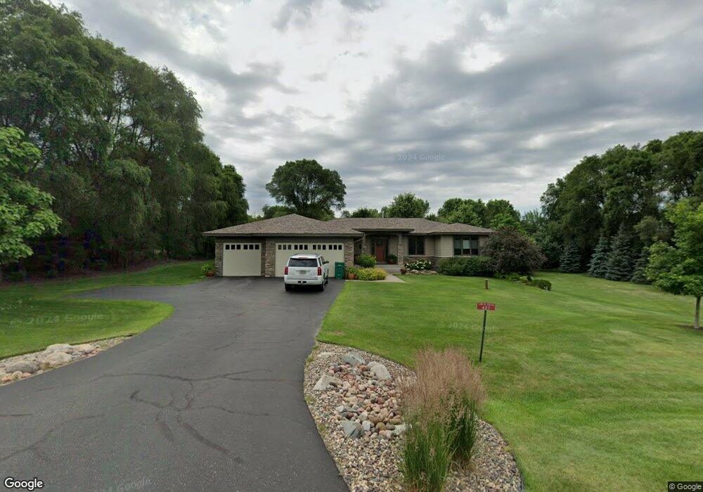
427 Wren Ln Hudson, WI 54016
Estimated Value: $693,000 - $781,000
4
Beds
2
Baths
--
Sq Ft
1.1
Acres
About This Home
This home is located at 427 Wren Ln, Hudson, WI 54016 and is currently estimated at $739,526. 427 Wren Ln is a home located in St. Croix County with nearby schools including Hudson Prairie Elementary School, Hudson Middle School, and Hudson High School.
Ownership History
Date
Name
Owned For
Owner Type
Purchase Details
Closed on
Dec 27, 2019
Sold by
Johnson Mark E and Johnson Elizabeth A
Bought by
Johnson Mark and Johnson Elizabeth
Current Estimated Value
Purchase Details
Closed on
Sep 28, 2017
Sold by
Ommen Michael and Ommen Wendy
Bought by
Johnson Mark E and Johnson Elizabeth A
Purchase Details
Closed on
Nov 17, 2006
Sold by
Landmark Inc
Bought by
Ommen Michael
Home Financials for this Owner
Home Financials are based on the most recent Mortgage that was taken out on this home.
Original Mortgage
$405,000
Interest Rate
6.41%
Mortgage Type
New Conventional
Purchase Details
Closed on
Mar 31, 2005
Sold by
Sienna Corp
Bought by
Landmark Inc
Home Financials for this Owner
Home Financials are based on the most recent Mortgage that was taken out on this home.
Original Mortgage
$350,000
Interest Rate
5.89%
Mortgage Type
Construction
Create a Home Valuation Report for This Property
The Home Valuation Report is an in-depth analysis detailing your home's value as well as a comparison with similar homes in the area
Home Values in the Area
Average Home Value in this Area
Purchase History
| Date | Buyer | Sale Price | Title Company |
|---|---|---|---|
| Johnson Mark | -- | None Available | |
| Johnson Mark E | $470,000 | -- | |
| Ommen Michael | $4,500,000 | Land Title Inc | |
| Landmark Inc | $91,900 | None Available |
Source: Public Records
Mortgage History
| Date | Status | Borrower | Loan Amount |
|---|---|---|---|
| Previous Owner | Ommen Michael | $405,000 | |
| Previous Owner | Landmark Inc | $350,000 |
Source: Public Records
Tax History Compared to Growth
Tax History
| Year | Tax Paid | Tax Assessment Tax Assessment Total Assessment is a certain percentage of the fair market value that is determined by local assessors to be the total taxable value of land and additions on the property. | Land | Improvement |
|---|---|---|---|---|
| 2024 | $69 | $673,700 | $129,500 | $544,200 |
| 2023 | $6,676 | $673,700 | $129,500 | $544,200 |
| 2022 | $6,441 | $464,800 | $114,500 | $350,300 |
| 2021 | $6,320 | $464,800 | $114,500 | $350,300 |
| 2020 | $6,157 | $464,800 | $114,500 | $350,300 |
| 2019 | $5,882 | $464,800 | $114,500 | $350,300 |
| 2018 | $5,923 | $460,700 | $114,500 | $346,200 |
| 2017 | $5,472 | $339,500 | $65,300 | $274,200 |
| 2016 | $5,472 | $339,500 | $65,300 | $274,200 |
| 2015 | $4,939 | $339,500 | $65,300 | $274,200 |
| 2014 | $4,655 | $339,500 | $65,300 | $274,200 |
| 2013 | $4,776 | $339,500 | $65,300 | $274,200 |
Source: Public Records
Map
Nearby Homes
- 2700 Galway Ct
- 429 Northview Pass
- 935 Ridge Pass
- 2412 Somerset Knoll
- 2513 Burl Oak Curve
- 2410 Oakridge Cir
- Lot 23 Brookwood Dr
- Lot 6 Brookwood Dr
- Lot 7 Brookwood Dr
- 388 Brookwood Dr
- Lot 27 Brookwood
- Lot 15 Elbert Dr
- Lot 17 Elbert Dr
- Lot 22 Brookwood Dr
- Lot 16 Elbert Dr
- Lot 14 Elbert Dr
- Lot 13 Elbert Dr
- Lot 12 Elbert Dr
- Lot 4 Brookwood Dr
- Lot 20 Elbert