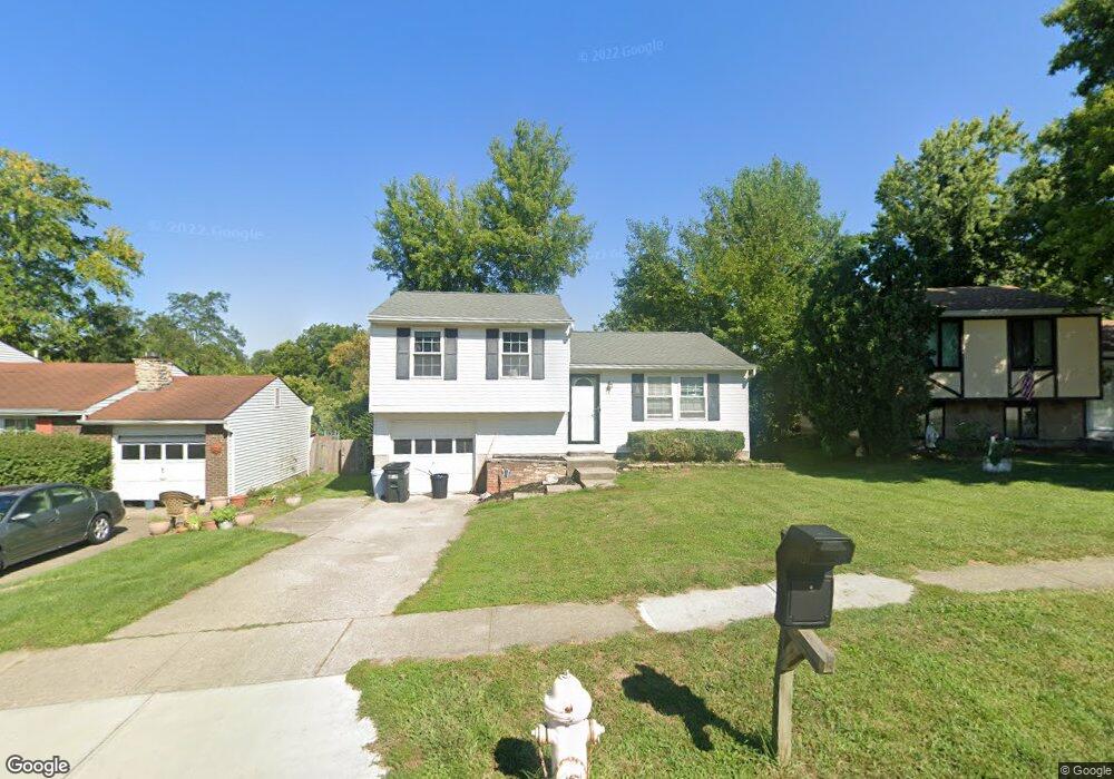
4270 Delryan Dr Cincinnati, OH 45238
Delshire NeighborhoodEstimated Value: $186,000 - $224,000
3
Beds
1
Bath
936
Sq Ft
$223/Sq Ft
Est. Value
About This Home
This home is located at 4270 Delryan Dr, Cincinnati, OH 45238 and is currently estimated at $209,128, approximately $223 per square foot. 4270 Delryan Dr is a home located in Hamilton County with nearby schools including Delshire Elementary School, Delhi Middle School, and Oak Hills High School.
Ownership History
Date
Name
Owned For
Owner Type
Purchase Details
Closed on
Sep 1, 2022
Sold by
Knight Kimberly Dawn
Bought by
Romans Mandy N and Doan Jennifer L
Current Estimated Value
Home Financials for this Owner
Home Financials are based on the most recent Mortgage that was taken out on this home.
Original Mortgage
$162,011
Outstanding Balance
$153,740
Interest Rate
5.13%
Mortgage Type
FHA
Estimated Equity
$55,388
Purchase Details
Closed on
Feb 27, 2008
Sold by
Meyer Raymond Charles and Meyer Linda Sue
Bought by
Knight Kimberly Dawn
Home Financials for this Owner
Home Financials are based on the most recent Mortgage that was taken out on this home.
Original Mortgage
$92,941
Interest Rate
5.74%
Mortgage Type
FHA
Create a Home Valuation Report for This Property
The Home Valuation Report is an in-depth analysis detailing your home's value as well as a comparison with similar homes in the area
Home Values in the Area
Average Home Value in this Area
Purchase History
| Date | Buyer | Sale Price | Title Company |
|---|---|---|---|
| Romans Mandy N | $165,000 | Prodigy Title | |
| Romans Mandy N | $165,000 | Prodigy Title | |
| Knight Kimberly Dawn | -- | Lawyers Title Of Cincinnati |
Source: Public Records
Mortgage History
| Date | Status | Borrower | Loan Amount |
|---|---|---|---|
| Open | Romans Mandy N | $162,011 | |
| Closed | Romans Mandy N | $162,011 | |
| Previous Owner | Knight Kimberly Dawn | $92,941 |
Source: Public Records
Tax History
| Year | Tax Paid | Tax Assessment Tax Assessment Total Assessment is a certain percentage of the fair market value that is determined by local assessors to be the total taxable value of land and additions on the property. | Land | Improvement |
|---|---|---|---|---|
| 2025 | $3,429 | $57,750 | $6,426 | $51,324 |
| 2024 | $3,345 | $57,750 | $6,426 | $51,324 |
| 2023 | $3,355 | $57,750 | $6,426 | $51,324 |
| 2022 | $3,327 | $34,262 | $6,272 | $27,990 |
| 2021 | $2,745 | $34,262 | $6,272 | $27,990 |
| 2020 | $2,225 | $34,262 | $6,272 | $27,990 |
| 2019 | $2,029 | $28,085 | $5,142 | $22,943 |
| 2018 | $2,031 | $28,085 | $5,142 | $22,943 |
| 2017 | $1,834 | $28,085 | $5,142 | $22,943 |
| 2016 | $2,043 | $31,364 | $5,880 | $25,484 |
| 2015 | $2,046 | $31,364 | $5,880 | $25,484 |
| 2014 | $2,048 | $31,364 | $5,880 | $25,484 |
| 2013 | $1,967 | $32,004 | $5,999 | $26,005 |
Source: Public Records
Map
Nearby Homes
- 4351 Mount Alverno Rd
- 4392 Champdale Ln
- 4271 Champdale Ln
- 4457 Delhi Rd
- 4635 Mayhew Ave
- 3889 Hillside Ave
- 517 Trenton Ave
- 342 Lilienthal St
- 3864 River Rd
- 521 Roebling Rd
- 4269 Skylark Dr
- 412 Roebling Rd
- 543 Virgil Rd
- 408 Roebling Rd
- 4619 Shady Lawn Terrace
- 3738 Hillside Ave
- 3744 Hillside Ave
- 582 Trenton Ave
- 581 Trenton Ave
- 583 Trenton Ave
- 4274 Delryan Dr
- 4266 Delryan Dr
- 4315 Mount Alverno Rd
- 4278 Delryan Dr
- 4262 Delryan Dr
- 4309 Mount Alverno Rd
- 4323 Mt Alverno Rd
- 4323 Mount Alverno Rd
- 4323 Mt Alverno Rd
- 4269 Delryan Dr
- 4329 Mount Alverno Rd
- A Delryan Dr
- 4303 Mount Alverno Rd
- 4258 Delryan Dr
- 4275 Delryan Dr
- 4263 Delryan Dr
- 4303 Mt Alverno Rd
- 4286 Delryan Dr
- 4287 Paul Rd
- 4279 Delryan Dr
Your Personal Tour Guide
Ask me questions while you tour the home.