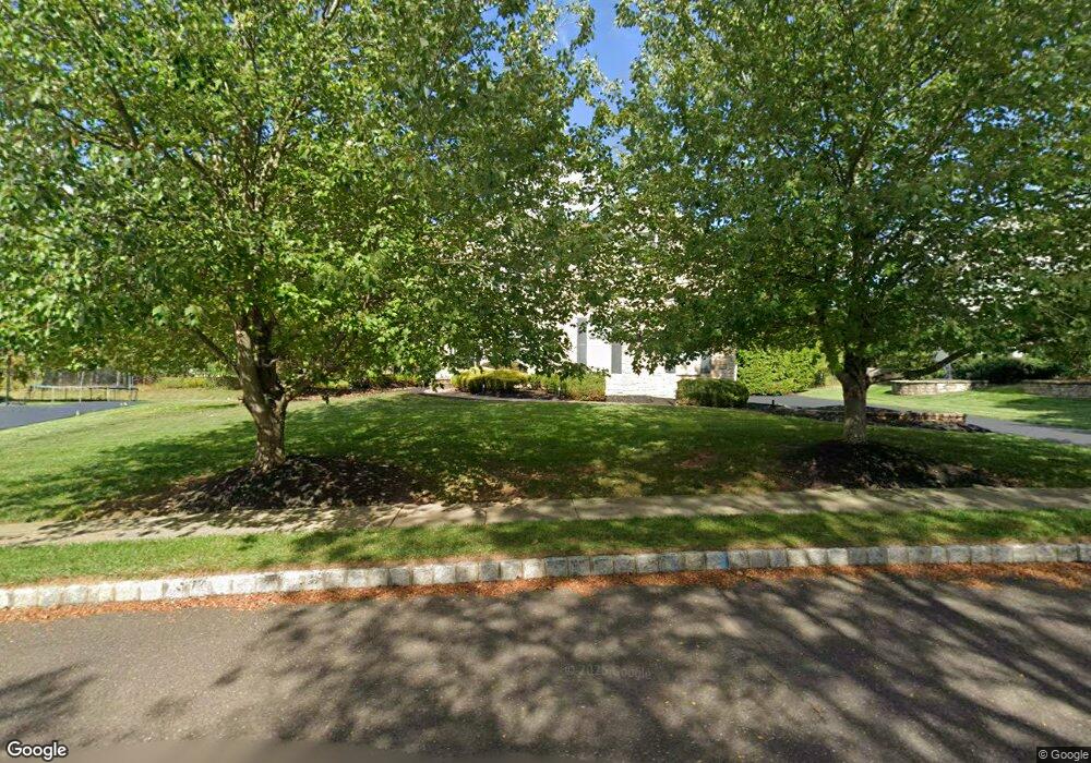
4271 Arbor Ln Doylestown, PA 18902
Estimated Value: $1,071,135 - $1,264,000
4
Beds
4
Baths
4,653
Sq Ft
$250/Sq Ft
Est. Value
About This Home
This home is located at 4271 Arbor Ln, Doylestown, PA 18902 and is currently estimated at $1,162,034, approximately $249 per square foot. 4271 Arbor Ln is a home located in Bucks County with nearby schools including Cold Spring Elementary School, Holicong Middle School, and Central Bucks High School - East.
Ownership History
Date
Name
Owned For
Owner Type
Purchase Details
Closed on
Jul 30, 2010
Sold by
Mcintyre Edward and Mcintyre Deborah A
Bought by
Cooper Aldrage B and Cooper Schevette Y
Current Estimated Value
Home Financials for this Owner
Home Financials are based on the most recent Mortgage that was taken out on this home.
Original Mortgage
$320,000
Outstanding Balance
$213,574
Interest Rate
4.73%
Mortgage Type
New Conventional
Estimated Equity
$948,460
Purchase Details
Closed on
Apr 15, 2003
Sold by
Toll Pa Lp
Bought by
Mcintyre Edward and Mcintyre Deborah A
Home Financials for this Owner
Home Financials are based on the most recent Mortgage that was taken out on this home.
Original Mortgage
$290,000
Interest Rate
5.82%
Mortgage Type
Purchase Money Mortgage
Create a Home Valuation Report for This Property
The Home Valuation Report is an in-depth analysis detailing your home's value as well as a comparison with similar homes in the area
Home Values in the Area
Average Home Value in this Area
Purchase History
| Date | Buyer | Sale Price | Title Company |
|---|---|---|---|
| Cooper Aldrage B | $670,000 | None Available | |
| Mcintyre Edward | $569,279 | -- |
Source: Public Records
Mortgage History
| Date | Status | Borrower | Loan Amount |
|---|---|---|---|
| Open | Cooper Aldrage B | $320,000 | |
| Previous Owner | Mcintyre Edward | $290,000 |
Source: Public Records
Tax History
| Year | Tax Paid | Tax Assessment Tax Assessment Total Assessment is a certain percentage of the fair market value that is determined by local assessors to be the total taxable value of land and additions on the property. | Land | Improvement |
|---|---|---|---|---|
| 2025 | $11,058 | $67,920 | $12,600 | $55,320 |
| 2024 | $11,058 | $67,920 | $12,600 | $55,320 |
| 2023 | $10,683 | $67,920 | $12,600 | $55,320 |
| 2022 | $10,555 | $67,920 | $12,600 | $55,320 |
| 2021 | $10,429 | $67,920 | $12,600 | $55,320 |
| 2020 | $10,429 | $67,920 | $12,600 | $55,320 |
| 2019 | $10,361 | $67,920 | $12,600 | $55,320 |
| 2018 | $10,361 | $67,920 | $12,600 | $55,320 |
| 2017 | $10,276 | $67,920 | $12,600 | $55,320 |
| 2016 | $10,378 | $67,920 | $12,600 | $55,320 |
| 2015 | -- | $67,920 | $12,600 | $55,320 |
| 2014 | -- | $67,920 | $12,600 | $55,320 |
Source: Public Records
Map
Nearby Homes
- 4783 Landisville Rd
- 4179 Miladies Ln
- 4745 Nottingham Way
- 4533 Deep Creek Way
- 3960 S Mallard Ln
- 5087 Raintree Ct
- 4990 Point Pleasant Pike
- 5182 Point Pleasant Pike
- 3689 Hancock Ln
- 6680 Point Pleasant Pike
- 5491 Long Ln
- 5380 Point Pleasant Pike
- 3468 Holicong Rd
- 5829 Ridgeview Dr
- 30 John Dyer Way
- 4215 Ferguson Dr
- 5805 Ridgeview Dr
- 4306 Kleinot Dr
- 4298 Kleinot Dr
- 4330 Kleinot Dr
- 4269 Arbor Ln
- 4273 Arbor Ln
- 4972 Grundy Way
- 4976 Grundy Way
- 4968 Grundy Way
- 4980 Grundy Way
- 4275 Arbor Ln
- 4964 Grundy Way
- 4267 Arbor Ln
- 4984 Grundy Way
- 4977 Grundy Way
- 4971 Grundy Way
- 4263 Arbor Ln
- 4960 Grundy Way
- 4277 Arbor Ln
- 4969 Grundy Way
- 4983 Grundy Way
- 4261 Arbor Ln
- 4965 Grundy Way
- 4279 Arbor Ln
Your Personal Tour Guide
Ask me questions while you tour the home.