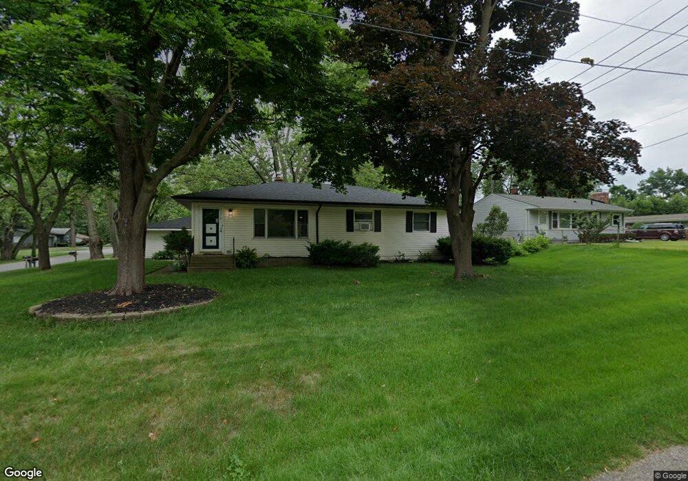
4272 Bunker Ave West Bloomfield, MI 48323
Estimated Value: $255,000 - $273,374
3
Beds
2
Baths
1,092
Sq Ft
$245/Sq Ft
Est. Value
About This Home
This home is located at 4272 Bunker Ave, West Bloomfield, MI 48323 and is currently estimated at $267,344, approximately $244 per square foot. 4272 Bunker Ave is a home located in Oakland County with nearby schools including Walled Lake Central High School and St. Matthew Lutheran School.
Ownership History
Date
Name
Owned For
Owner Type
Purchase Details
Closed on
May 18, 2020
Sold by
Gaucher Dara L
Bought by
Gaucher Dara L and Gaucher Stephen Arthur
Current Estimated Value
Home Financials for this Owner
Home Financials are based on the most recent Mortgage that was taken out on this home.
Original Mortgage
$68,000
Outstanding Balance
$60,257
Interest Rate
3.3%
Mortgage Type
New Conventional
Estimated Equity
$207,087
Purchase Details
Closed on
Jul 31, 2001
Sold by
Schlak Tracey
Bought by
Gaucher Dara L
Create a Home Valuation Report for This Property
The Home Valuation Report is an in-depth analysis detailing your home's value as well as a comparison with similar homes in the area
Home Values in the Area
Average Home Value in this Area
Purchase History
| Date | Buyer | Sale Price | Title Company |
|---|---|---|---|
| Gaucher Dara L | -- | Fidelity National Title | |
| Gaucher Dara L | $146,000 | -- |
Source: Public Records
Mortgage History
| Date | Status | Borrower | Loan Amount |
|---|---|---|---|
| Open | Gaucher Dara L | $68,000 |
Source: Public Records
Tax History Compared to Growth
Tax History
| Year | Tax Paid | Tax Assessment Tax Assessment Total Assessment is a certain percentage of the fair market value that is determined by local assessors to be the total taxable value of land and additions on the property. | Land | Improvement |
|---|---|---|---|---|
| 2024 | $2,463 | $104,990 | $0 | $0 |
| 2022 | $2,381 | $85,680 | $27,050 | $58,630 |
| 2021 | $3,178 | $82,960 | $0 | $0 |
| 2020 | $2,236 | $81,620 | $27,050 | $54,570 |
| 2018 | $2,711 | $71,230 | $22,550 | $48,680 |
| 2015 | -- | $58,790 | $0 | $0 |
| 2014 | -- | $54,110 | $0 | $0 |
| 2011 | -- | $47,330 | $0 | $0 |
Source: Public Records
Map
Nearby Homes
- 4245 Bunker Ave
- 4335 Crestdale Ave
- 4212 Greendale Ave
- 7337 Richardson Rd
- 7381 Crestmore St
- 6978 Colony Dr
- 4442 Borland St
- 6980 Hambro St
- 7359 Woodlore Dr
- 6903 Dandison Blvd
- 3991 Fieldview Ave
- 4066 Green Lake Rd
- 3965 Carrick Ave
- 0000 Langtoft
- 6675 Langtoft St
- 3950 Bradmore Ave
- 4540 Rolling Pine Ct
- 6768 Buckland Ave
- 3632 Fieldview Ave
- 7369 Sweetbriar
- 7200 Crestmore St
- 4260 Bunker Ave
- 4263 Forbush Ave
- 4265 Bunker Ave
- 7193 Crestmore St
- 7185 Crestmore St
- 4240 Bunker Ave
- 7207 Crestmore St
- 0 Bunker Ave
- 0 Bunker Ave
- 4254 Crestdale Ave
- 7167 Crestmore St
- 4325 Forbush Ave
- 4220 Bunker Ave
- 4262 Crestdale Ave
- 4223 Forbush Ave
- 4321 Bunker Ave
- 7261 Crestmore St
- 4335 Forbush Ave
- 4330 Bunker Ave