4272 Highway 45 Alt S West Point, MS 39773
Estimated Value: $135,725 - $170,000
2
Beds
--
Bath
1,348
Sq Ft
$110/Sq Ft
Est. Value
About This Home
This home is located at 4272 Highway 45 Alt S, West Point, MS 39773 and is currently estimated at $147,908, approximately $109 per square foot. 4272 Highway 45 Alt S is a home with nearby schools including East Side Elementary School, West Clay Elementary School, and Church Hill Elementary School.
Ownership History
Date
Name
Owned For
Owner Type
Purchase Details
Closed on
Oct 8, 2019
Sold by
Lyman Properties Llc
Bought by
Prather Nate Edward
Current Estimated Value
Home Financials for this Owner
Home Financials are based on the most recent Mortgage that was taken out on this home.
Original Mortgage
$179,200
Outstanding Balance
$156,988
Interest Rate
3.5%
Mortgage Type
Unknown
Estimated Equity
-$9,080
Purchase Details
Closed on
Jun 22, 2011
Sold by
Young Judson Kaye and Young Fred William
Bought by
Lyman Properties Llc
Create a Home Valuation Report for This Property
The Home Valuation Report is an in-depth analysis detailing your home's value as well as a comparison with similar homes in the area
Home Values in the Area
Average Home Value in this Area
Purchase History
| Date | Buyer | Sale Price | Title Company |
|---|---|---|---|
| Prather Nate Edward | -- | -- | |
| Lyman Properties Llc | -- | -- |
Source: Public Records
Mortgage History
| Date | Status | Borrower | Loan Amount |
|---|---|---|---|
| Open | Prather Nate Edward | $179,200 |
Source: Public Records
Tax History Compared to Growth
Tax History
| Year | Tax Paid | Tax Assessment Tax Assessment Total Assessment is a certain percentage of the fair market value that is determined by local assessors to be the total taxable value of land and additions on the property. | Land | Improvement |
|---|---|---|---|---|
| 2024 | $274 | $7,541 | $3,590 | $3,951 |
| 2023 | $500 | $6,837 | $3,590 | $3,247 |
| 2022 | $242 | $6,823 | $3,590 | $3,233 |
| 2021 | $241 | $6,823 | $3,590 | $3,233 |
| 2020 | $243 | $6,823 | $3,590 | $3,233 |
| 2019 | $357 | $6,822 | $2,508 | $4,314 |
| 2018 | $343 | $6,826 | $2,512 | $4,314 |
| 2017 | $343 | $6,806 | $2,492 | $4,314 |
| 2016 | $335 | $6,781 | $2,467 | $4,314 |
| 2015 | $366 | $7,170 | $2,589 | $4,581 |
| 2014 | -- | $7,148 | $2,567 | $4,581 |
| 2013 | -- | $7,131 | $2,550 | $4,581 |
Source: Public Records
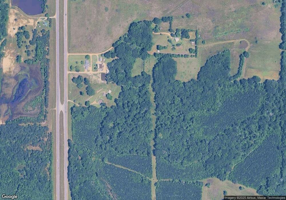
Map
Nearby Homes
- Tibbee Rd
- 0 Old Tibbee Rd
- 0 Hwy 45 Alt N
- 20 Beverly Dr
- 346 E Brame Ave
- 161 Mapleview Rd
- 219 Mapleview Rd
- 402 Cromwell St
- 389 Mapleview Rd
- 15 David St
- 206 S Division St
- 159 Washington St
- 229 S Division St
- 228 S Division St
- 98 Court St
- 1046 E Brame Ave
- 238 Calhoun St
- 184 Tournament St
- 44 Torbert Dr
- 472 S Eshman Ave
- 4332 Highway 45 Alt S
- 4595 Highway 45 Route S
- 4370 Highway 45 Alt S
- 4835 Highway 45 Route S
- 903 Truman Creek Rd
- 342 Truman Creek Rd
- 261 Truman Creek Rd
- 1061 Truman Creek Rd
- 90 Truman Creek Rd
- 880 Truman Creek Rd
- 912 Truman Creek Rd
- 940 Truman Creek Rd
- 1126 Truman Creek Rd
- 984 Truman Creek Rd
- 1240 Truman Creek Rd
- 219 Doug Thompson Rd
- 101 Doug Thompson Rd
- 278 Carl Miller Rd
- 1379 Truman Creek Rd
- 1454 Truman Creek Rd