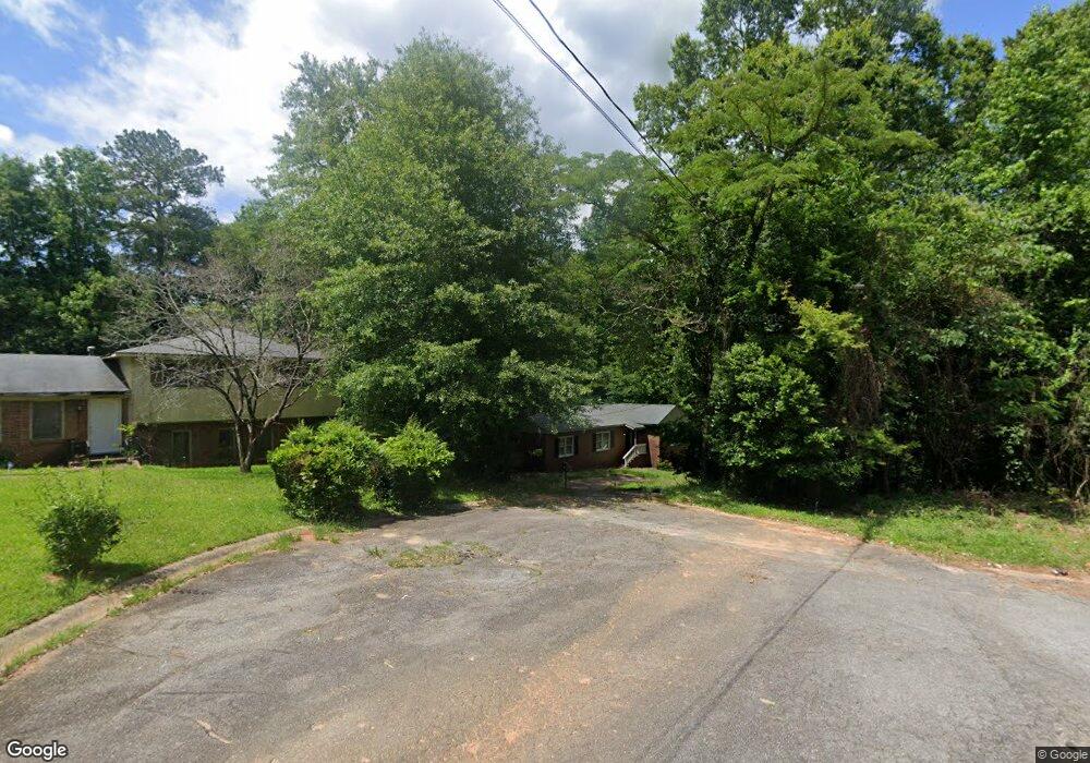
4277 White Oak Ct Macon, GA 31204
Estimated Value: $89,000 - $142,000
3
Beds
2
Baths
1,461
Sq Ft
$84/Sq Ft
Est. Value
About This Home
This home is located at 4277 White Oak Ct, Macon, GA 31204 and is currently estimated at $123,293, approximately $84 per square foot. 4277 White Oak Ct is a home located in Bibb County with nearby schools including Union Elementary School, Weaver Middle School, and Westside High School.
Ownership History
Date
Name
Owned For
Owner Type
Purchase Details
Closed on
Jan 24, 2022
Sold by
Oconee Concrete Company Inc
Bought by
Linder Mary R
Current Estimated Value
Purchase Details
Closed on
Jan 22, 2022
Sold by
Linder Mary R
Bought by
Sfr3-050 Llc
Purchase Details
Closed on
Jan 11, 2022
Sold by
Oconee Concrete Company Inc
Bought by
Linder Mary R
Purchase Details
Closed on
May 12, 2008
Sold by
Thomas Mary R
Bought by
Linder Mary R and Linder Billy
Create a Home Valuation Report for This Property
The Home Valuation Report is an in-depth analysis detailing your home's value as well as a comparison with similar homes in the area
Home Values in the Area
Average Home Value in this Area
Purchase History
| Date | Buyer | Sale Price | Title Company |
|---|---|---|---|
| Linder Mary R | -- | Davis Rondney E | |
| Sfr3-050 Llc | $59,000 | None Listed On Document | |
| Linder Mary R | -- | Davis Rondney E | |
| Linder Mary R | -- | None Available |
Source: Public Records
Tax History Compared to Growth
Tax History
| Year | Tax Paid | Tax Assessment Tax Assessment Total Assessment is a certain percentage of the fair market value that is determined by local assessors to be the total taxable value of land and additions on the property. | Land | Improvement |
|---|---|---|---|---|
| 2025 | $1,054 | $42,883 | $4,560 | $38,323 |
| 2024 | $1,089 | $42,883 | $4,560 | $38,323 |
| 2023 | $926 | $42,883 | $4,560 | $38,323 |
| 2022 | $922 | $31,336 | $5,701 | $25,635 |
| 2021 | $1,042 | $27,414 | $3,984 | $23,430 |
| 2020 | $1,064 | $27,414 | $3,984 | $23,430 |
| 2019 | $1,019 | $26,036 | $3,984 | $22,052 |
| 2018 | $1,741 | $26,036 | $3,984 | $22,052 |
| 2017 | $1,101 | $29,380 | $5,950 | $23,430 |
| 2016 | $1,016 | $29,380 | $5,950 | $23,430 |
| 2015 | $1,437 | $29,348 | $5,950 | $23,398 |
| 2014 | $1,653 | $29,348 | $5,950 | $23,398 |
Source: Public Records
Map
Nearby Homes
- 4032 Winding Way Ct
- 4015 Dellwood Dr
- 4158 Log Cabin Dr
- 3941 Log Cabin Dr
- 3908 Log Cabin Dr
- 3220 Hollingsworth Rd
- 4450 Bluebird Terrace
- 4112 W Hickory Ct
- 4453 Pharr Ave
- 3896 Log Cabin Dr
- 3846 Log Cabin Dr
- 4090 W Oak Dr
- 1042 Washington St
- 4376 Log Cabin
- 3745 Partridge Dr
- 4506 Ebenezer Church Rd
- 4281 Robinson Ct
- 2002 Fall Harvest Dr Unit LOT 280
- 2006 Fall Harvest Dr
- 2006 Fall Harvest Dr Unit LOT 278
- 4279 White Oak Ct
- 4017 Valley Brook Ct
- 4000 Meadowbrook Dr
- 3984 Meadowbrook Dr
- 4008 Meadowbrook Dr
- 4016 Meadowbrook Dr
- 4273 White Oak Ct
- 4277 White Oak Ln
- 3976 Meadowbrook Dr
- 4035 Winding Way
- 4026 Meadowbrook Dr
- 4015 Valley Brook Ct
- 4015 Valley Brook Ct Unit F300
- 4023 Winding Way
- 4041 Winding Way
- 4271 White Oak Ln
- 3968 Meadowbrook Dr
- 4034 Meadowbrook Dr
- 4049 Winding Way Unit 113-F20
- 4049 Winding Way