4278 Highway 63 Unit US Ottumwa, IA 52501
Estimated Value: $387,761 - $392,000
4
Beds
2
Baths
2,600
Sq Ft
$150/Sq Ft
Est. Value
About This Home
This home is located at 4278 Highway 63 Unit US, Ottumwa, IA 52501 and is currently estimated at $389,881, approximately $149 per square foot. 4278 Highway 63 Unit US is a home located in Wapello County with nearby schools including Douma Elementary School, Liberty Elementary School, and Evans Middle School.
Ownership History
Date
Name
Owned For
Owner Type
Purchase Details
Closed on
Aug 20, 2015
Sold by
Trautmann Margit M and Trautmann Margit M
Bought by
Denney Brett S and Denney Kelly A
Current Estimated Value
Home Financials for this Owner
Home Financials are based on the most recent Mortgage that was taken out on this home.
Original Mortgage
$208,000
Outstanding Balance
$163,591
Interest Rate
4.03%
Mortgage Type
New Conventional
Estimated Equity
$226,290
Create a Home Valuation Report for This Property
The Home Valuation Report is an in-depth analysis detailing your home's value as well as a comparison with similar homes in the area
Home Values in the Area
Average Home Value in this Area
Purchase History
| Date | Buyer | Sale Price | Title Company |
|---|---|---|---|
| Denney Brett S | -- | None Available |
Source: Public Records
Mortgage History
| Date | Status | Borrower | Loan Amount |
|---|---|---|---|
| Open | Denney Brett S | $208,000 |
Source: Public Records
Tax History Compared to Growth
Tax History
| Year | Tax Paid | Tax Assessment Tax Assessment Total Assessment is a certain percentage of the fair market value that is determined by local assessors to be the total taxable value of land and additions on the property. | Land | Improvement |
|---|---|---|---|---|
| 2025 | $3,254 | $258,180 | $6,460 | $251,720 |
| 2024 | $3,254 | $241,320 | $2,850 | $238,470 |
| 2023 | $2,698 | $241,240 | $2,850 | $238,390 |
| 2022 | $2,518 | $193,090 | $2,120 | $190,970 |
| 2021 | $2,651 | $169,540 | $3,540 | $166,000 |
| 2020 | $2,438 | $165,530 | $3,730 | $161,800 |
| 2019 | $2,338 | $159,280 | $0 | $0 |
| 2018 | $2,294 | $159,280 | $0 | $0 |
| 2017 | $2,280 | $156,460 | $0 | $0 |
| 2016 | $2,408 | $169,980 | $0 | $0 |
| 2015 | $2,438 | $169,980 | $0 | $0 |
| 2014 | $2,438 | $169,980 | $0 | $0 |
Source: Public Records
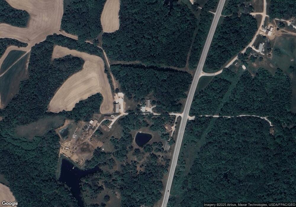
Map
Nearby Homes
- 4261 Highway 63
- 3788 Little Soap Rd
- 3637 150th Ave
- 13530 65th St
- 880 Montagne Ln
- 827 Ingersoll
- 1255 S Milner St
- 846 S Adella St
- 1007 S James St
- 559 S Moore St
- 00 S Webster St
- 0 S Webster Unit NOC6332429
- 1404 Lake Rd
- 522 S Davis St
- 534 Ray St
- 927 E Mary St
- 522 S Adella St
- 404 W Mary St
- 434 S Ward St
- 902 Clinton Ave
- 4278 Highway 63
- 4270 Highway 63 Unit US
- 4172 Highway 63 Unit US
- 4180 Hwy 63
- 12798 43rd St
- 4486 Highway 63 Unit US
- 4486 Highway 63
- 4261 U S 63
- 4261 Highway 63 Unit US
- 4261 Us Hwy 63
- 12764 43rd St
- 12747 43rd St
- 12750 43rd St
- 3958 Highway 63 Unit US
- 12756 43rd St
- 4752 Highway 63
- 4752 Highway 63
- 12625 43rd St
- 12878 Copperhead Rd
- 3744 Little Soap Rd