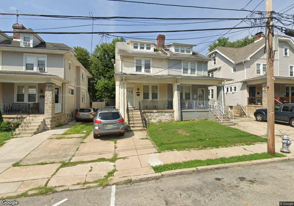
428 Laurel Rd Lansdowne, PA 19050
Estimated Value: $220,000 - $281,000
3
Beds
2
Baths
1,400
Sq Ft
$177/Sq Ft
Est. Value
About This Home
This home is located at 428 Laurel Rd, Lansdowne, PA 19050 and is currently estimated at $248,444, approximately $177 per square foot. 428 Laurel Rd is a home located in Delaware County with nearby schools including Evans Elementary School, Penn Wood Middle School, and Penn Wood High School - Cypress Street Campus.
Ownership History
Date
Name
Owned For
Owner Type
Purchase Details
Closed on
Dec 23, 2005
Sold by
Coleman Michael D and Ramcharitar Sheldon
Bought by
Mccall Novarra and Wescott April R
Current Estimated Value
Home Financials for this Owner
Home Financials are based on the most recent Mortgage that was taken out on this home.
Original Mortgage
$119,920
Outstanding Balance
$72,762
Interest Rate
7.75%
Mortgage Type
Purchase Money Mortgage
Estimated Equity
$175,682
Purchase Details
Closed on
Jun 10, 2005
Sold by
Dowling James L
Bought by
Coleman Michael D and Ramcharitar Sheldon
Create a Home Valuation Report for This Property
The Home Valuation Report is an in-depth analysis detailing your home's value as well as a comparison with similar homes in the area
Home Values in the Area
Average Home Value in this Area
Purchase History
| Date | Buyer | Sale Price | Title Company |
|---|---|---|---|
| Mccall Novarra | $149,900 | None Available | |
| Coleman Michael D | $58,000 | -- |
Source: Public Records
Mortgage History
| Date | Status | Borrower | Loan Amount |
|---|---|---|---|
| Open | Mccall Novarra | $119,920 |
Source: Public Records
Tax History
| Year | Tax Paid | Tax Assessment Tax Assessment Total Assessment is a certain percentage of the fair market value that is determined by local assessors to be the total taxable value of land and additions on the property. | Land | Improvement |
|---|---|---|---|---|
| 2025 | $4,797 | $112,350 | $33,380 | $78,970 |
| 2024 | $4,797 | $112,350 | $33,380 | $78,970 |
| 2023 | $4,357 | $112,350 | $33,380 | $78,970 |
| 2022 | $4,155 | $112,350 | $33,380 | $78,970 |
| 2021 | $6,283 | $112,350 | $33,380 | $78,970 |
| 2020 | $3,775 | $60,440 | $19,260 | $41,180 |
| 2019 | $3,708 | $60,440 | $19,260 | $41,180 |
| 2018 | $3,657 | $60,440 | $0 | $0 |
| 2017 | $3,580 | $60,440 | $0 | $0 |
| 2016 | $332 | $60,440 | $0 | $0 |
| 2015 | $332 | $60,440 | $0 | $0 |
| 2014 | $332 | $60,440 | $0 | $0 |
Source: Public Records
Map
Nearby Homes
- 417 Laurel Rd
- 401 Holly Rd
- 436 Church Ln
- 438 Church Ln
- 442 Church Ln
- 503 Bonsall Ave
- 622 Yeadon Ave
- 104 Oak Ave
- 702 Cedar Ave
- 22 Lexington Ave
- 7010 Atlantic Ave
- 57 Lexington Ave
- 59 Lexington Ave
- 912 Whitby Ave
- 7117 Atlantic Ave
- 1016 Whitby Ave
- 109 Lexington Ave
- 727 Fern St
- 7123 Seaford Rd
- 147 Lexington Ave
Your Personal Tour Guide
Ask me questions while you tour the home.