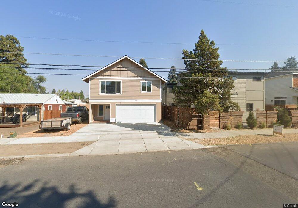
428 NE Burnside Ave Unit 1 Bend, OR 97701
Larkspur NeighborhoodEstimated Value: $688,000 - $1,195,000
1
Bed
1
Bath
312
Sq Ft
$3,098/Sq Ft
Est. Value
About This Home
This home is located at 428 NE Burnside Ave Unit 1, Bend, OR 97701 and is currently estimated at $966,598, approximately $3,098 per square foot. 428 NE Burnside Ave Unit 1 is a home located in Deschutes County with nearby schools including Juniper Elementary School, Pilot Butte Middle School, and Bend Senior High School.
Ownership History
Date
Name
Owned For
Owner Type
Purchase Details
Closed on
Sep 17, 2018
Sold by
Benjamin Harney Llc
Bought by
3Rd Street Investment Group Llc
Current Estimated Value
Purchase Details
Closed on
Mar 29, 2018
Sold by
Whelan Michael
Bought by
Benjamin Harney Llc
Home Financials for this Owner
Home Financials are based on the most recent Mortgage that was taken out on this home.
Original Mortgage
$110,000
Interest Rate
4.38%
Mortgage Type
New Conventional
Purchase Details
Closed on
Mar 26, 2018
Sold by
Whelan Michael
Bought by
Benjamin Harney Llc
Home Financials for this Owner
Home Financials are based on the most recent Mortgage that was taken out on this home.
Original Mortgage
$110,000
Interest Rate
4.38%
Mortgage Type
New Conventional
Create a Home Valuation Report for This Property
The Home Valuation Report is an in-depth analysis detailing your home's value as well as a comparison with similar homes in the area
Home Values in the Area
Average Home Value in this Area
Purchase History
| Date | Buyer | Sale Price | Title Company |
|---|---|---|---|
| 3Rd Street Investment Group Llc | $119,500 | Western Title & Escrow | |
| Benjamin Harney Llc | $119,500 | Western Title | |
| Benjamin Harney Llc | $119,500 | Western Title & Escrow |
Source: Public Records
Mortgage History
| Date | Status | Borrower | Loan Amount |
|---|---|---|---|
| Previous Owner | Benjamin Harney Llc | $110,000 | |
| Previous Owner | Benjamin Harney Llc | $110,000 |
Source: Public Records
Tax History
| Year | Tax Paid | Tax Assessment Tax Assessment Total Assessment is a certain percentage of the fair market value that is determined by local assessors to be the total taxable value of land and additions on the property. | Land | Improvement |
|---|---|---|---|---|
| 2025 | $5,930 | $350,960 | -- | -- |
| 2024 | $3,416 | $204,000 | -- | -- |
| 2023 | $590 | $36,920 | $36,920 | $0 |
| 2022 | $551 | $34,810 | $0 | $0 |
| 2021 | $552 | $33,800 | $0 | $0 |
| 2020 | $523 | $33,800 | $0 | $0 |
| 2019 | $509 | $32,820 | $0 | $0 |
| 2018 | $550 | $35,420 | $0 | $0 |
| 2017 | $534 | $34,390 | $0 | $0 |
| 2016 | $509 | $33,390 | $0 | $0 |
Source: Public Records
Map
Nearby Homes
- 530 SE Centennial St Unit 524,526,528,530
- 775 NE Franklin Ave
- 438 NE 9th St
- 429 NE Irving Ave
- 513 NE Irving Ave
- 15 NW Franklin Ave
- 114 NW Delaware Ave
- 120 NW Sisemore St
- 530 SE 3rd St
- 111 NW Hawthorne Ave Unit 1
- 649 NE Kearney Ave
- 924 NE 9th St
- 314 NW Georgia Ave
- 566 NE Lafayette Ave Unit 1
- 558 NE Lafayette Ave
- 1363 NE Bear Creek Rd
- 1119 NE 9th St
- 139 SE Taft Ave
- 624 SW Hill St
- 291 SW Bluff Dr Unit : 320
- 428 NE Burnside Ave
- 446 NE Burnside Ave Unit 1, 2, 3
- 446 NE Burnside Ave
- 422 NE Burnside Ave
- 454 NE Burnside Ave
- 450 NE Burnside Ave
- 218 NE 4th St
- 435 NE Clay Ave
- 443 NE Clay Ave
- 435 NE Burnside Ave
- 455 NE Clay Ave
- 445 NE Burnside Ave
- 423 NE Clay Ave
- 478 NE Burnside Ave
- 232 NE 4th St Unit ID1247431P
- 232 NE 4th St
- 407 NE Burnside Ave
- 455 NE Burnside Ave
- 471 NE Clay Ave
- 221 NE 4th St
Your Personal Tour Guide
Ask me questions while you tour the home.