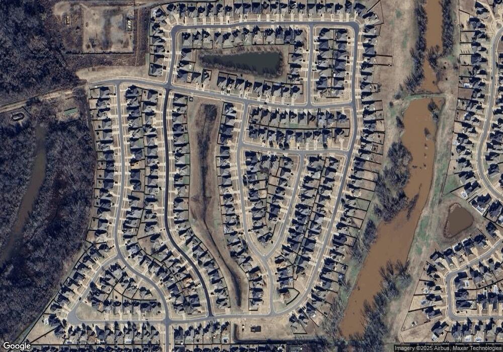
428 Remington Dr Bossier City, LA 71111
Dukedale-Vanceville NeighborhoodEstimated Value: $286,256 - $303,000
3
Beds
2
Baths
1,587
Sq Ft
$186/Sq Ft
Est. Value
About This Home
This home is located at 428 Remington Dr, Bossier City, LA 71111 and is currently estimated at $294,814, approximately $185 per square foot. 428 Remington Dr is a home located in Bossier Parish with nearby schools including Kingston Elementary School, Benton Middle School, and Benton High School.
Ownership History
Date
Name
Owned For
Owner Type
Purchase Details
Closed on
Aug 5, 2016
Sold by
Rowe E A and Rowe Evelyn Bush
Bought by
Durham Daisy Hammons
Current Estimated Value
Purchase Details
Closed on
Jan 15, 2014
Sold by
Lone Oak Homes Of Benton Llc
Bought by
Rowe E A and Rowe Evelyn Bush
Home Financials for this Owner
Home Financials are based on the most recent Mortgage that was taken out on this home.
Original Mortgage
$180,630
Interest Rate
4.48%
Mortgage Type
Unknown
Purchase Details
Closed on
May 15, 2013
Sold by
Bossier Real Estate Development Llc
Bought by
Lone Oak Homes Of Benton Llc
Home Financials for this Owner
Home Financials are based on the most recent Mortgage that was taken out on this home.
Original Mortgage
$300,000
Interest Rate
12%
Mortgage Type
Unknown
Create a Home Valuation Report for This Property
The Home Valuation Report is an in-depth analysis detailing your home's value as well as a comparison with similar homes in the area
Home Values in the Area
Average Home Value in this Area
Purchase History
| Date | Buyer | Sale Price | Title Company |
|---|---|---|---|
| Durham Daisy Hammons | $237,400 | First American Title | |
| Rowe E A | $223,000 | None Available | |
| Lone Oak Homes Of Benton Llc | $36,000 | None Available |
Source: Public Records
Mortgage History
| Date | Status | Borrower | Loan Amount |
|---|---|---|---|
| Previous Owner | Rowe E A | $180,630 | |
| Previous Owner | Lone Oak Homes Of Benton Llc | $300,000 |
Source: Public Records
Tax History Compared to Growth
Tax History
| Year | Tax Paid | Tax Assessment Tax Assessment Total Assessment is a certain percentage of the fair market value that is determined by local assessors to be the total taxable value of land and additions on the property. | Land | Improvement |
|---|---|---|---|---|
| 2024 | $2,278 | $25,657 | $4,000 | $21,657 |
| 2023 | $1,922 | $21,884 | $3,600 | $18,284 |
| 2022 | $1,912 | $21,884 | $3,600 | $18,284 |
| 2021 | $1,884 | $21,884 | $3,600 | $18,284 |
| 2020 | $1,884 | $21,884 | $3,600 | $18,284 |
| 2019 | $1,909 | $21,900 | $3,600 | $18,300 |
| 2018 | $1,909 | $21,900 | $3,600 | $18,300 |
| 2017 | $1,887 | $21,900 | $3,600 | $18,300 |
| 2016 | $1,791 | $21,150 | $3,600 | $17,550 |
| 2015 | $1,681 | $21,050 | $3,600 | $17,450 |
| 2014 | -- | $3,600 | $3,600 | $0 |
Source: Public Records
Map
Nearby Homes
- 603 Canoe Trail
- 504 Ranger Dr
- 320 Camelback Dr
- 657 Alder Ln
- 992 Maize St
- 561 Chinquipin Dr
- 830 Entrada St
- 267 Poydras Ave
- 239 Poydras Ave
- 628 Dumaine Dr
- 774 Hackberry Dr
- 431 Mangrove Ln
- 407 Mangrove Ln
- 531 Chinquipin Dr
- 262 Poydras Ave
- 325 Hendry Dr
- 321 Hendry Dr
- 323 Hendry Dr
- 216 Norwell Ln
- 313 Hendry Dr
- 426 Remington Dr
- 430 Remington Dr
- 424 Remington Dr
- 602 Canoe Trail
- 432 Remington Dr
- 604 Canoe Trail
- 517 Ranger Dr
- 422 Remington Dr
- 515 Ranger Dr
- 427 Remington Dr
- 519 Ranger Dr
- 425 Remington Dr
- 513 Ranger Dr
- 429 Remington Dr
- 420 Remington Dr
- 521 Ranger Dr
- 431 Remington Dr
- 433 Remington Dr
- 416 Remington Dr
- 605 Canoe Trail
