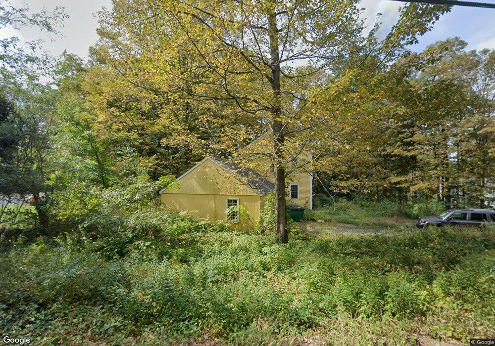
428 Southbridge Rd West Brookfield, MA 01585
Estimated Value: $411,114 - $450,000
3
Beds
3
Baths
1,910
Sq Ft
$229/Sq Ft
Est. Value
About This Home
This home is located at 428 Southbridge Rd, West Brookfield, MA 01585 and is currently estimated at $437,279, approximately $228 per square foot. 428 Southbridge Rd is a home located in Worcester County with nearby schools including Quaboag Regional High School.
Ownership History
Date
Name
Owned For
Owner Type
Purchase Details
Closed on
Mar 14, 2008
Sold by
Tuttle Charles R and Tuttle Suzanne E
Bought by
Tuttle Charles R
Current Estimated Value
Home Financials for this Owner
Home Financials are based on the most recent Mortgage that was taken out on this home.
Original Mortgage
$176,520
Interest Rate
5.72%
Mortgage Type
Purchase Money Mortgage
Purchase Details
Closed on
Dec 31, 1996
Sold by
Maple Lane Dev Corp
Bought by
Tuttle Charles and Tuttle Suzanne
Home Financials for this Owner
Home Financials are based on the most recent Mortgage that was taken out on this home.
Original Mortgage
$109,250
Interest Rate
7.55%
Mortgage Type
Purchase Money Mortgage
Create a Home Valuation Report for This Property
The Home Valuation Report is an in-depth analysis detailing your home's value as well as a comparison with similar homes in the area
Home Values in the Area
Average Home Value in this Area
Purchase History
| Date | Buyer | Sale Price | Title Company |
|---|---|---|---|
| Tuttle Charles R | -- | -- | |
| Tuttle Charles | $115,000 | -- |
Source: Public Records
Mortgage History
| Date | Status | Borrower | Loan Amount |
|---|---|---|---|
| Open | Tuttle Charles | $185,500 | |
| Closed | Tuttle Charles R | $176,520 | |
| Previous Owner | Tuttle Charles | $104,600 | |
| Previous Owner | Tuttle Charles | $109,250 |
Source: Public Records
Tax History Compared to Growth
Tax History
| Year | Tax Paid | Tax Assessment Tax Assessment Total Assessment is a certain percentage of the fair market value that is determined by local assessors to be the total taxable value of land and additions on the property. | Land | Improvement |
|---|---|---|---|---|
| 2025 | $5,391 | $364,000 | $58,900 | $305,100 |
| 2024 | $5,485 | $364,000 | $58,900 | $305,100 |
| 2023 | $5,356 | $339,000 | $58,900 | $280,100 |
| 2022 | $4,335 | $278,600 | $45,100 | $233,500 |
| 2021 | $4,249 | $266,200 | $42,700 | $223,500 |
| 2020 | $4,287 | $249,800 | $42,700 | $207,100 |
| 2019 | $4,287 | $236,200 | $42,700 | $193,500 |
| 2018 | $0 | $236,200 | $42,700 | $193,500 |
| 2017 | $8,376 | $230,000 | $44,300 | $185,700 |
| 2016 | $0 | $220,300 | $42,300 | $178,000 |
| 2015 | $3,926 | $209,400 | $42,300 | $167,100 |
| 2014 | $4,072 | $213,200 | $42,300 | $170,900 |
Source: Public Records
Map
Nearby Homes
- 366 Southbridge Rd
- 152 Southbridge Rd Unit 3D
- 124 Southbridge Rd
- 58 Nelson St
- 82 Comins Pond Rd
- Lot 8 Southbridge Rd
- LOT 7 Southbridge Rd
- 29 Liberty St
- 72 Maple St
- Lot 5 Brimfield Rd
- Lot 3 Brimfield Rd
- Lot 4 Brimfield Rd
- 35 Bacon St
- 59 High St
- Lot 4 Reed St
- Lot 7 Reed St
- 170 Bridge St
- 17 Otis St
- 12 Presidential Cir
- 0 Brimfield Rd Unit 73426061
- 490 Southbridge Rd
- 476 Southbridge Rd
- 448 Southbridge Rd
- 404 Southbridge Rd
- 65 Bemis Rd
- 97 Bemis Rd
- 7 Southbridge Rd
- 97 Bemis Rd
- 77 Bemis Rd
- 65 Bemis Rd
- 21 Southbridge Rd
- M9L155 Bemis Rd
- 155 Bemis Rd
- 60 Bemis Rd
- 125 Bemis Rd
- LOT 6 Bemis Rd
- LOT 7 Bemis Rd
- Lot 10 Bemis Rd
- 0 Bemis Rd Unit 70957535
- 0 Bemis Rd Unit 71030346