428 Timmy Cir Morganton, GA 30560
Estimated Value: $787,000 - $1,786,000
Studio
--
Bath
--
Sq Ft
11,761
Sq Ft Lot
About This Home
This home is located at 428 Timmy Cir, Morganton, GA 30560 and is currently estimated at $1,231,306. 428 Timmy Cir is a home located in Fannin County with nearby schools including Fannin County High School.
Ownership History
Date
Name
Owned For
Owner Type
Purchase Details
Closed on
Apr 20, 2018
Sold by
Ocasa Llc
Bought by
Mcnelley Richard A and Mcnelley Wesley E
Current Estimated Value
Purchase Details
Closed on
Aug 18, 2015
Sold by
Dorn Catherine Faulk
Bought by
Ocasa Llc
Purchase Details
Closed on
Dec 2, 2011
Sold by
Stuart Kenneth L
Bought by
Dorn Catherine Faulk
Purchase Details
Closed on
Nov 19, 2003
Sold by
Ross Kenneth Y
Bought by
Stuart Kenneth L
Purchase Details
Closed on
May 21, 1977
Bought by
Ross Kenneth Y
Create a Home Valuation Report for This Property
The Home Valuation Report is an in-depth analysis detailing your home's value as well as a comparison with similar homes in the area
Home Values in the Area
Average Home Value in this Area
Purchase History
| Date | Buyer | Sale Price | Title Company |
|---|---|---|---|
| Mcnelley Richard A | -- | -- | |
| Ocasa Llc | -- | -- | |
| Dorn Catherine Faulk | $145,000 | -- | |
| Stuart Kenneth L | $250,000 | -- | |
| Ross Kenneth Y | $3,500 | -- |
Source: Public Records
Tax History
| Year | Tax Paid | Tax Assessment Tax Assessment Total Assessment is a certain percentage of the fair market value that is determined by local assessors to be the total taxable value of land and additions on the property. | Land | Improvement |
|---|---|---|---|---|
| 2025 | $2,409 | $265,484 | $264,320 | $1,164 |
| 2024 | $2,433 | $265,484 | $264,320 | $1,164 |
| 2023 | $2,707 | $265,484 | $264,320 | $1,164 |
| 2022 | $2,707 | $265,531 | $264,320 | $1,211 |
| 2021 | $3,726 | $265,717 | $264,320 | $1,397 |
| 2020 | $3,184 | $223,397 | $222,000 | $1,397 |
| 2019 | $2,582 | $177,717 | $176,320 | $1,397 |
| 2018 | $2,738 | $177,717 | $176,320 | $1,397 |
| 2017 | $3,145 | $177,764 | $176,320 | $1,444 |
| 2016 | $3,069 | $180,690 | $179,200 | $1,490 |
| 2015 | $1,479 | $83,369 | $81,000 | $2,369 |
| 2014 | $1,462 | $83,322 | $81,000 | $2,322 |
| 2013 | -- | $130,006 | $81,000 | $49,006 |
Source: Public Records
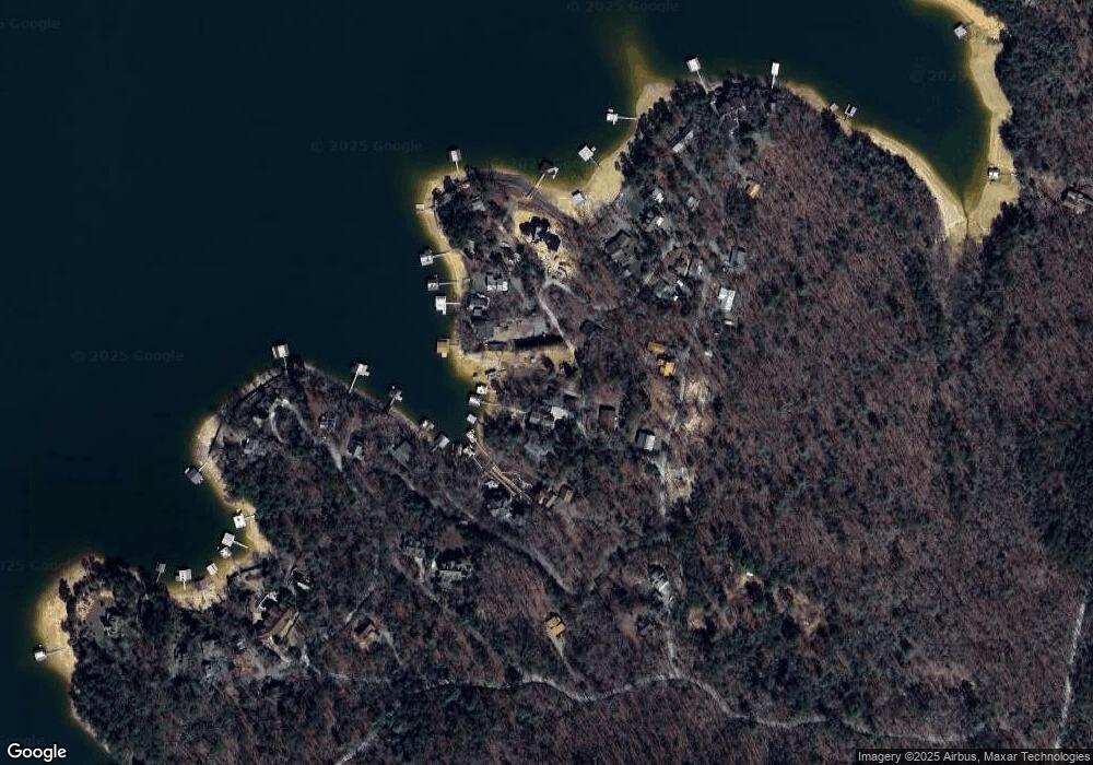
Map
Nearby Homes
- .76 ACRES Charlotte Cir
- .76 acre Charlotte Cir
- 66 Rome Point
- 474 Stewart Camp Point
- 18 Mallard Ln
- 790 Star Creek Dr
- 354 Ridgeview Cir
- 0 Ridge St Unit LOT 27 10593030
- 0 Ridge St Unit 7640123
- 374 Prince Dr
- 0 Ridge Rd
- 128 Overlake Ct
- Lot 4 Wilderness Trail
- 105 Bypass Rd
- 11 Collins Hollow Rd
- 716 Lakeview Cir
- 173 Southern Cross Ct
- 9340 Old Highway 76
- 58 Whitetail Hollow
- 90 Split Creek Rd
Your Personal Tour Guide
Ask me questions while you tour the home.