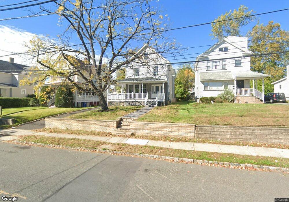
428 W Broad St Westfield, NJ 07090
Estimated Value: $852,000 - $1,043,000
4
Beds
3
Baths
1,476
Sq Ft
$651/Sq Ft
Est. Value
About This Home
This home is located at 428 W Broad St, Westfield, NJ 07090 and is currently estimated at $960,477, approximately $650 per square foot. 428 W Broad St is a home located in Union County with nearby schools including McKinley Elementary School, Westfield Senior High School, and Holy Trinity School.
Ownership History
Date
Name
Owned For
Owner Type
Purchase Details
Closed on
Feb 14, 2025
Sold by
1 Stockley Ave Llc and 1 Stokley Ave Llc
Bought by
Catanese Christopher Ray and Catanese Sarah Ann
Current Estimated Value
Home Financials for this Owner
Home Financials are based on the most recent Mortgage that was taken out on this home.
Original Mortgage
$550,000
Outstanding Balance
$546,763
Interest Rate
6.96%
Mortgage Type
New Conventional
Estimated Equity
$413,714
Purchase Details
Closed on
Jun 10, 2020
Sold by
Whaley Lois
Bought by
Whaley Mervin Earl
Purchase Details
Closed on
May 20, 1983
Bought by
Whaley Lois
Create a Home Valuation Report for This Property
The Home Valuation Report is an in-depth analysis detailing your home's value as well as a comparison with similar homes in the area
Home Values in the Area
Average Home Value in this Area
Purchase History
| Date | Buyer | Sale Price | Title Company |
|---|---|---|---|
| Catanese Christopher Ray | $999,000 | Kelly Title | |
| Catanese Christopher Ray | $999,000 | Kelly Title | |
| Whaley Mervin Earl | -- | None Available | |
| Whaley Lois | -- | -- |
Source: Public Records
Mortgage History
| Date | Status | Borrower | Loan Amount |
|---|---|---|---|
| Open | Catanese Christopher Ray | $550,000 | |
| Closed | Catanese Christopher Ray | $550,000 |
Source: Public Records
Tax History Compared to Growth
Tax History
| Year | Tax Paid | Tax Assessment Tax Assessment Total Assessment is a certain percentage of the fair market value that is determined by local assessors to be the total taxable value of land and additions on the property. | Land | Improvement |
|---|---|---|---|---|
| 2025 | $7,121 | $623,200 | $238,100 | $385,100 |
| 2024 | $6,975 | $316,200 | $238,100 | $78,100 |
| 2023 | $6,975 | $316,200 | $238,100 | $78,100 |
| 2022 | $6,830 | $316,200 | $238,100 | $78,100 |
| 2021 | $6,839 | $316,200 | $238,100 | $78,100 |
| 2020 | $6,824 | $316,200 | $238,100 | $78,100 |
| 2019 | $6,798 | $316,200 | $238,100 | $78,100 |
| 2018 | $6,592 | $70,900 | $20,200 | $50,700 |
| 2017 | $6,555 | $70,900 | $20,200 | $50,700 |
| 2016 | $6,402 | $70,900 | $20,200 | $50,700 |
| 2015 | $6,274 | $70,900 | $20,200 | $50,700 |
| 2014 | $6,067 | $70,900 | $20,200 | $50,700 |
Source: Public Records
Map
Nearby Homes
- 724 South Ave W Unit 724A
- 524 Edgar Rd
- 525 Edgar Rd
- 538 Westfield Ave
- 614 Dorian Rd
- 522 Boulevard
- 260 Prospect St Unit C15
- 303 Prospect St
- 215 Ross Place Unit J
- 350 W Dudley Ave
- 203 Ross Place
- 603 Carleton Rd
- 314 Highgate Ave
- 119 Lamberts Mill Rd
- 2154 W Broad St
- 1466 Lamberts Mill Rd
- 304 E Dudley Ave
- 415 Highland Ave
- 143 Stanmore Place
- 559 Lawrence Ave
- 432 W Broad St
- 426 W Broad St
- 436 W Broad St
- 422 W Broad St
- 409 Downer St
- 440 W Broad St
- 413 Downer St Unit 2
- 413 Downer St
- 413 Downer St Unit 1
- 407 Downer St
- 407 Downer St Unit 2
- 418 W Broad St
- 419 W Broad St
- 417 Downer St
- 401 Downer St
- 625 South Ave W
- 625 South Ave W Unit 1
- 417 W Broad St
- 421 Downer St
- 425 W Broad St