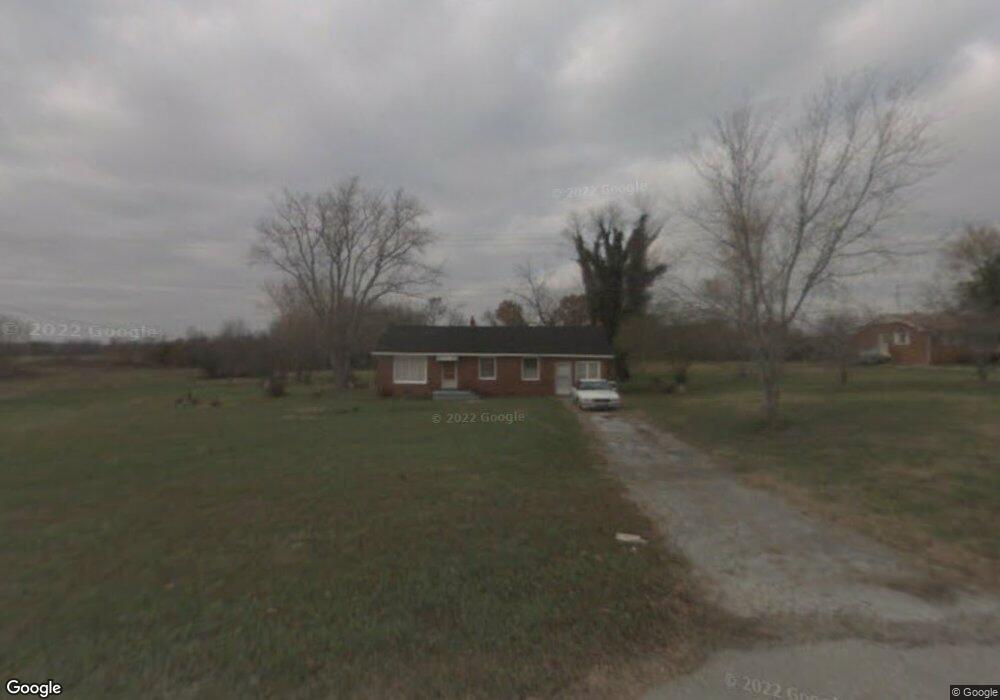
4280 Waynesboro Hwy Unit 4255 Lawrenceburg, TN 38464
Estimated Value: $222,000
--
Bed
1
Bath
--
Sq Ft
24.96
Acres
About This Home
This home is located at 4280 Waynesboro Hwy Unit 4255, Lawrenceburg, TN 38464 and is currently estimated at $222,000. 4280 Waynesboro Hwy Unit 4255 is a home located in Lawrence County with nearby schools including David Crockett Elementary School, Ingram Sowell Elementary School, and Lawrenceburg Public Elementary School.
Ownership History
Date
Name
Owned For
Owner Type
Purchase Details
Closed on
Jan 13, 2022
Sold by
Emily Payne Mary
Bought by
White Gilbert Dale and White Terrie Cotter
Current Estimated Value
Home Financials for this Owner
Home Financials are based on the most recent Mortgage that was taken out on this home.
Original Mortgage
$100,733
Outstanding Balance
$66,502
Interest Rate
3.05%
Mortgage Type
Credit Line Revolving
Estimated Equity
$155,498
Purchase Details
Closed on
Sep 14, 2011
Bought by
Payne Mary Emily and Payne Harold Glenn
Purchase Details
Closed on
May 17, 1967
Bought by
Pollock Pollock W and Pollock Elsie
Purchase Details
Closed on
May 6, 1964
Bought by
Pollock Pollock W and Pollock Elsie
Create a Home Valuation Report for This Property
The Home Valuation Report is an in-depth analysis detailing your home's value as well as a comparison with similar homes in the area
Home Values in the Area
Average Home Value in this Area
Purchase History
| Date | Buyer | Sale Price | Title Company |
|---|---|---|---|
| White Gilbert Dale | $99,840 | Plant Paul B | |
| White Gilbert Dale | $99,840 | None Listed On Document | |
| Payne Mary Emily | -- | -- | |
| Pollock Pollock W | -- | -- | |
| Pollock Pollock W | -- | -- |
Source: Public Records
Mortgage History
| Date | Status | Borrower | Loan Amount |
|---|---|---|---|
| Open | White Gilbert Dale | $100,733 |
Source: Public Records
Tax History Compared to Growth
Tax History
| Year | Tax Paid | Tax Assessment Tax Assessment Total Assessment is a certain percentage of the fair market value that is determined by local assessors to be the total taxable value of land and additions on the property. | Land | Improvement |
|---|---|---|---|---|
| 2025 | $179 | $8,925 | $0 | $0 |
| 2024 | $179 | $8,925 | $8,925 | $0 |
| 2023 | $179 | $8,925 | $8,925 | $0 |
| 2022 | $506 | $25,150 | $25,150 | $0 |
| 2021 | $456 | $15,425 | $15,425 | $0 |
| 2020 | $456 | $15,425 | $15,425 | $0 |
| 2019 | $456 | $15,425 | $15,425 | $0 |
| 2018 | $456 | $15,425 | $15,425 | $0 |
| 2017 | $456 | $15,425 | $15,425 | $0 |
| 2016 | $456 | $15,425 | $15,425 | $0 |
| 2015 | $422 | $15,425 | $15,425 | $0 |
| 2014 | $354 | $12,925 | $12,925 | $0 |
Source: Public Records
Map
Nearby Homes
- 3735 Waynesboro Hwy
- 158 Big Springs Rd
- 0 Cove Ln Unit RTC2971413
- 0 Lawrenceburg Hwy Unit RTC3030824
- 0 Cove Ln Unit RTC2970083
- 136 Genson Rd
- 48 Mount Lebanon Rd
- 511 E Big Springs Rd
- 326 Sunnybrook Creek Rd
- 840 Tennessee 240
- 42 Chisholm Crossing
- 28 Ok Rd
- 1164 Fish Trapp Rd
- 2010 W Gaines St
- 0 Brush Creek Rd Unit 23745545
- 169 N Chisholm Creek Rd
- 102 Woodside Ln
- 24 Griffin Rd
- 104 E Laurel Dr
- 347 Waterloo Rd
- 4280 Waynesboro Hwy
- 4 Greenwood Rd
- 4270 Waynesboro Hwy
- 4260 Waynesboro Hwy
- 4285 Waynesboro Hwy
- 4250 Waynesboro Hwy
- 4245 Waynesboro Hwy
- 4245 Waynesboro Hwy
- 1212 Highway 64 W
- 11 N Hood Rd
- 1207 Highway 64 W
- 4235 Waynesboro Hwy
- 1205 U S 64
- 16 N Hood Rd
- 22 N Hood Rd
- 27 N Hood Rd
- 4210 Waynesboro Hwy
- 4449 Waynesboro Hwy
- 39 N Hood Rd
- 4055 Highway 64