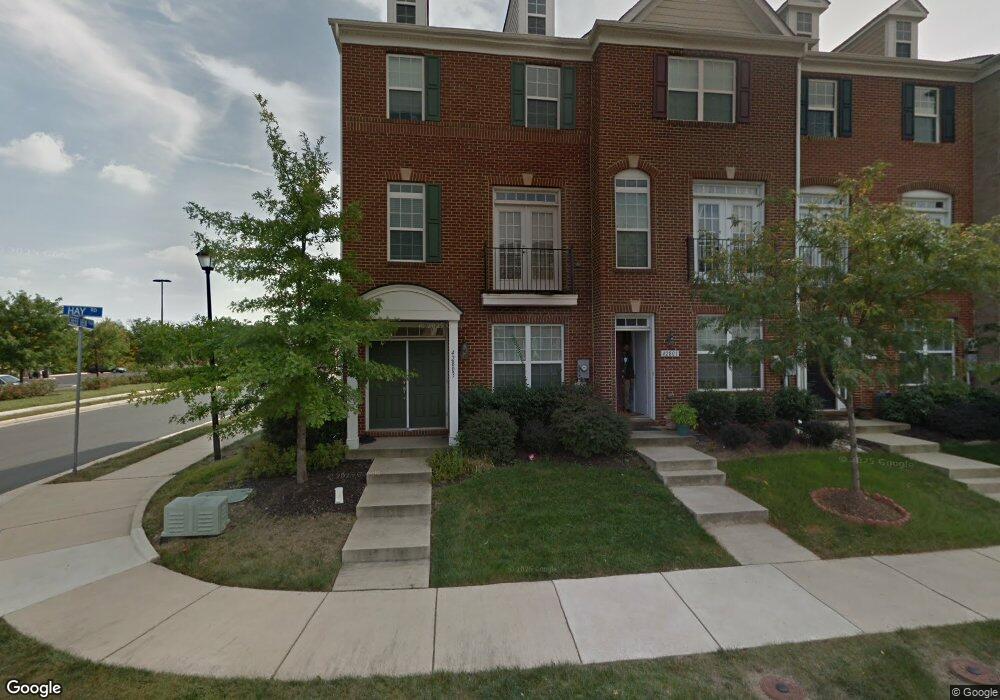
42803 Hay Rd Ashburn, VA 20147
Estimated Value: $625,321 - $656,000
3
Beds
4
Baths
2,018
Sq Ft
$320/Sq Ft
Est. Value
About This Home
This home is located at 42803 Hay Rd, Ashburn, VA 20147 and is currently estimated at $646,330, approximately $320 per square foot. 42803 Hay Rd is a home located in Loudoun County with nearby schools including Belmont Station Elementary School, Trailside Middle School, and Stone Bridge High.
Ownership History
Date
Name
Owned For
Owner Type
Purchase Details
Closed on
May 25, 2010
Sold by
Centex Homes
Bought by
Oconnell Paul E
Current Estimated Value
Home Financials for this Owner
Home Financials are based on the most recent Mortgage that was taken out on this home.
Original Mortgage
$339,594
Outstanding Balance
$229,834
Interest Rate
5.25%
Mortgage Type
FHA
Estimated Equity
$416,496
Create a Home Valuation Report for This Property
The Home Valuation Report is an in-depth analysis detailing your home's value as well as a comparison with similar homes in the area
Home Values in the Area
Average Home Value in this Area
Purchase History
| Date | Buyer | Sale Price | Title Company |
|---|---|---|---|
| Oconnell Paul E | $357,535 | -- |
Source: Public Records
Mortgage History
| Date | Status | Borrower | Loan Amount |
|---|---|---|---|
| Open | Oconnell Paul E | $339,594 |
Source: Public Records
Tax History Compared to Growth
Tax History
| Year | Tax Paid | Tax Assessment Tax Assessment Total Assessment is a certain percentage of the fair market value that is determined by local assessors to be the total taxable value of land and additions on the property. | Land | Improvement |
|---|---|---|---|---|
| 2025 | $5,042 | $626,340 | $203,500 | $422,840 |
| 2024 | $5,148 | $595,130 | $198,500 | $396,630 |
| 2023 | $4,898 | $559,810 | $183,500 | $376,310 |
| 2022 | $4,709 | $529,110 | $168,500 | $360,610 |
| 2021 | $4,482 | $457,360 | $158,500 | $298,860 |
| 2020 | $4,601 | $444,530 | $148,500 | $296,030 |
| 2019 | $4,342 | $415,520 | $138,500 | $277,020 |
| 2018 | $4,346 | $400,520 | $123,500 | $277,020 |
| 2017 | $4,371 | $388,550 | $123,500 | $265,050 |
| 2016 | $4,302 | $375,680 | $0 | $0 |
| 2015 | $4,347 | $259,490 | $0 | $259,490 |
| 2014 | $4,422 | $264,330 | $0 | $264,330 |
Source: Public Records
Map
Nearby Homes
- 20657 Maitland Terrace
- 43740 Transit Square
- 20603 Geddes Terrace
- 42605 Nubbins Terrace
- Skye Plan at Goose Creek Village - Goose Creek Village 1
- SKYE Plan at Goose Creek Village
- HARRIDAN Plan at Goose Creek Village
- 42662 Darala Dr
- 20867 Murry Falls Terrace
- 20869 Murry Falls Terrace
- 20871 Murry Falls Terrace
- 20873 Murry Falls Terrace
- 20875 Murry Falls Terrace
- 20877 Murry Falls Terrace
- 20879 Murry Falls Terrace
- 000 Murry Falls Terrace
- 0000 Murry Falls Terrace
- 20881 Murry Falls Terrace
- 20885 Murry Falls Terrace
- 20887 Murry Falls Terrace