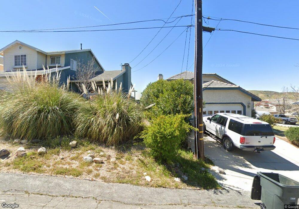
42822 Barnstead Dr Lake Hughes, CA 93532
Estimated Value: $364,960 - $447,000
2
Beds
1
Bath
1,000
Sq Ft
$394/Sq Ft
Est. Value
About This Home
This home is located at 42822 Barnstead Dr, Lake Hughes, CA 93532 and is currently estimated at $394,490, approximately $394 per square foot. 42822 Barnstead Dr is a home located in Los Angeles County with nearby schools including Hughes-Elizabeth Lakes and Quartz Hill High School.
Ownership History
Date
Name
Owned For
Owner Type
Purchase Details
Closed on
Jan 22, 2025
Sold by
Maddox Dalton
Bought by
Dalton Gene Maddox Living Trust and Maddox
Current Estimated Value
Purchase Details
Closed on
Sep 3, 2002
Sold by
Trombley Fred A
Bought by
Maddox Dalton
Home Financials for this Owner
Home Financials are based on the most recent Mortgage that was taken out on this home.
Original Mortgage
$75,000
Interest Rate
6.22%
Create a Home Valuation Report for This Property
The Home Valuation Report is an in-depth analysis detailing your home's value as well as a comparison with similar homes in the area
Home Values in the Area
Average Home Value in this Area
Purchase History
| Date | Buyer | Sale Price | Title Company |
|---|---|---|---|
| Dalton Gene Maddox Living Trust | -- | None Listed On Document | |
| Maddox Dalton | -- | First American Title Co |
Source: Public Records
Mortgage History
| Date | Status | Borrower | Loan Amount |
|---|---|---|---|
| Previous Owner | Maddox Dalton | $75,000 |
Source: Public Records
Tax History Compared to Growth
Tax History
| Year | Tax Paid | Tax Assessment Tax Assessment Total Assessment is a certain percentage of the fair market value that is determined by local assessors to be the total taxable value of land and additions on the property. | Land | Improvement |
|---|---|---|---|---|
| 2025 | $1,830 | $145,316 | $78,211 | $67,105 |
| 2024 | $1,830 | $142,468 | $76,678 | $65,790 |
| 2023 | $1,692 | $139,675 | $75,175 | $64,500 |
| 2022 | $1,661 | $136,937 | $73,701 | $63,236 |
| 2021 | $1,626 | $134,253 | $72,256 | $61,997 |
| 2019 | $1,574 | $130,273 | $70,114 | $60,159 |
| 2018 | $1,552 | $127,720 | $68,740 | $58,980 |
| 2016 | $1,451 | $122,763 | $66,072 | $56,691 |
| 2015 | $1,429 | $120,920 | $65,080 | $55,840 |
| 2014 | $1,415 | $118,553 | $63,806 | $54,747 |
Source: Public Records
Map
Nearby Homes
- 42809 Montello Dr
- 0 Sandrock Dr
- 42729 Montello Dr
- 42867 Montello Dr
- 42624 Arrowrock Dr
- 0 Arrowrock Dr Vic Montello Dr Unit 25007986
- 14780 Elizabeth Lake Rd
- 42846 Montello Dr
- 14648 Deer Bank Rd
- 0 Ripton Rd Unit 25003530
- 0 Ripton Rd Unit 25003534
- 0 Nearside Dr
- 0 Ranch Club Rd
- 14849 Ripton Rd
- 0 Denview Dr Unit IV25128803
- 0 Denview Dr Unit 25004445
- 14811 Elizabeth Lake Rd
- 14802 Sunnydale Dr
- 42915 Algood St
- 14580 Sandrock Dr
- 42804 Barnstead Dr
- 42827 Barnstead Dr
- 42823 Barnstead Dr
- 42817 Barnstead Dr
- 42815 Barnstead Dr
- 42843 Barnstead Dr
- 42819 Clydesdale Dr
- 0 Vac Denview Dr Vic Sandrock Dr Unit 19-514310
- 0 Vac Montello Dr
- 0 Clydesdale Dr Nr Sandrock Unit SR21001494
- 0 Clydesdale Dr Nr Sandrock Unit SR20003419
- 42747 Montello Dr
- 0 Sandrock Dr Vic Barnstea Dr Unit 23005548
- 42824 Whetstone Rd
- 42830 Whetstone Rd
- 42818 Whetstone Rd
- 14609 Sandrock Dr
- 0 Deerbank Dr Vic Montello Unit 16007583
- 0 Deerbank Dr Vic Montello Unit 21001192