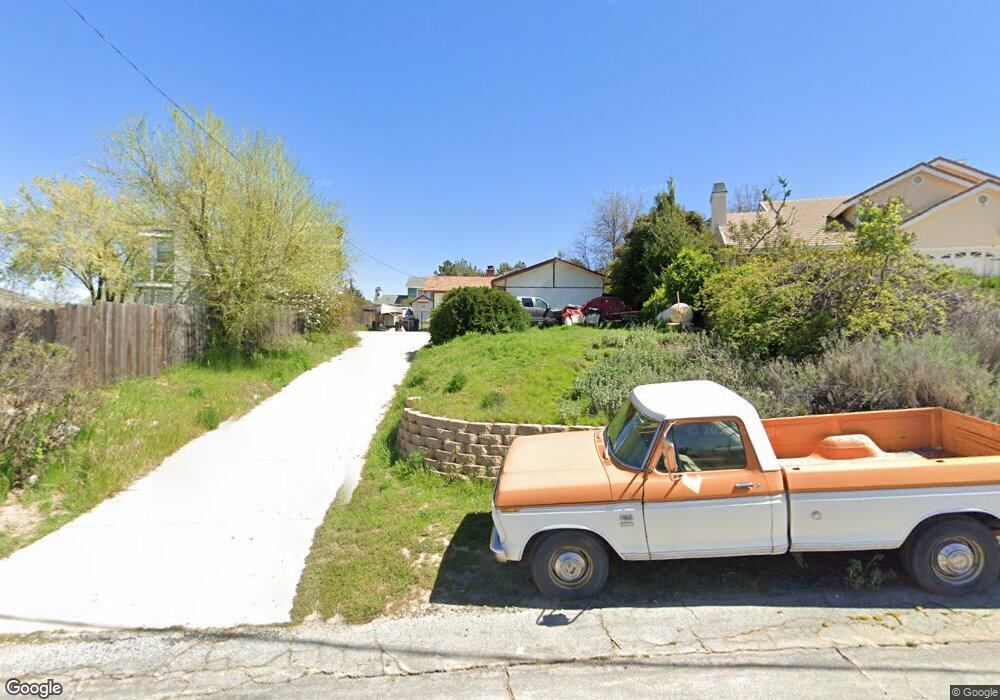
42824 Whetstone Rd Lake Hughes, CA 93532
Estimated Value: $336,000 - $399,000
2
Beds
1
Bath
816
Sq Ft
$454/Sq Ft
Est. Value
About This Home
This home is located at 42824 Whetstone Rd, Lake Hughes, CA 93532 and is currently estimated at $370,112, approximately $453 per square foot. 42824 Whetstone Rd is a home located in Los Angeles County with nearby schools including Hughes-Elizabeth Lakes and Quartz Hill High School.
Ownership History
Date
Name
Owned For
Owner Type
Purchase Details
Closed on
Jan 19, 2006
Sold by
Peterson Phillip S
Bought by
Peterson Phillip S and Peterson Dawn M
Current Estimated Value
Home Financials for this Owner
Home Financials are based on the most recent Mortgage that was taken out on this home.
Original Mortgage
$208,500
Outstanding Balance
$117,262
Interest Rate
6.28%
Mortgage Type
New Conventional
Estimated Equity
$252,850
Purchase Details
Closed on
May 15, 2002
Sold by
Burke Sara Jane
Bought by
Peterson Phillip S
Home Financials for this Owner
Home Financials are based on the most recent Mortgage that was taken out on this home.
Original Mortgage
$118,638
Interest Rate
6.78%
Mortgage Type
FHA
Create a Home Valuation Report for This Property
The Home Valuation Report is an in-depth analysis detailing your home's value as well as a comparison with similar homes in the area
Home Values in the Area
Average Home Value in this Area
Purchase History
| Date | Buyer | Sale Price | Title Company |
|---|---|---|---|
| Peterson Phillip S | -- | Alliance Title Company | |
| Peterson Phillip S | $120,500 | Lawyers Title |
Source: Public Records
Mortgage History
| Date | Status | Borrower | Loan Amount |
|---|---|---|---|
| Open | Peterson Phillip S | $208,500 | |
| Previous Owner | Peterson Phillip S | $118,638 |
Source: Public Records
Tax History Compared to Growth
Tax History
| Year | Tax Paid | Tax Assessment Tax Assessment Total Assessment is a certain percentage of the fair market value that is determined by local assessors to be the total taxable value of land and additions on the property. | Land | Improvement |
|---|---|---|---|---|
| 2025 | $2,142 | $174,499 | $44,161 | $130,338 |
| 2024 | $2,142 | $171,079 | $43,296 | $127,783 |
| 2023 | $1,997 | $167,726 | $42,448 | $125,278 |
| 2022 | $1,960 | $164,438 | $41,616 | $122,822 |
| 2021 | $1,922 | $161,214 | $40,800 | $120,414 |
| 2019 | $1,861 | $156,435 | $39,591 | $116,844 |
| 2018 | $1,835 | $153,368 | $38,815 | $114,553 |
| 2016 | $1,719 | $147,413 | $37,308 | $110,105 |
| 2015 | $1,693 | $145,200 | $36,748 | $108,452 |
| 2014 | $1,675 | $142,357 | $36,029 | $106,328 |
Source: Public Records
Map
Nearby Homes
- 0 Sandrock Dr
- 14780 Elizabeth Lake Rd
- 42809 Montello Dr
- 42729 Montello Dr
- 42867 Montello Dr
- 42624 Arrowrock Dr
- 0 Arrowrock Dr Vic Montello Dr Unit 25007986
- 0 Nearside Dr
- 42846 Montello Dr
- 0 Ripton Rd Unit 25003530
- 0 Ripton Rd Unit 25003534
- 14849 Ripton Rd
- 0 Denview Dr Unit IV25128803
- 0 Denview Dr Unit 25004445
- 14648 Deer Bank Rd
- 14811 Elizabeth Lake Rd
- 0 Ranch Club Rd
- 14802 Sunnydale Dr
- 42915 Algood St
- 42830 Whetstone Rd
- 42818 Whetstone Rd
- 42823 Barnstead Dr
- 42817 Barnstead Dr
- 42843 Barnstead Dr
- 42827 Barnstead Dr
- 42815 Barnstead Dr
- 14623 Sandrock Dr
- 14617 Sandrock Dr
- 14613 Sandrock Dr
- 0 Sandrock Dr Vic Barnstea Dr Unit 23005548
- 42811 Whetstone Rd
- 14609 Sandrock Dr
- 14641 Sandrock Dr
- 42804 Whetstone Dr
- 42804 Whetstone Rd
- 42888 Ranch Club Rd
- 42900 Ranch Club Rd
- 42884 Ranch Club Rd
- 42906 Ranch Club Rd