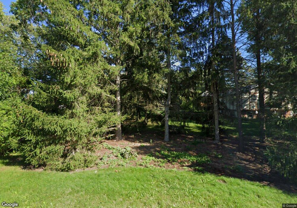
42845 N Berrong Ct Winthrop Harbor, IL 60096
Estimated Value: $325,599 - $353,000
3
Beds
2
Baths
1,400
Sq Ft
$244/Sq Ft
Est. Value
About This Home
This home is located at 42845 N Berrong Ct, Winthrop Harbor, IL 60096 and is currently estimated at $341,900, approximately $244 per square foot. 42845 N Berrong Ct is a home located in Lake County with nearby schools including Westfield School, North Prairie Junior High School, and Zion-Benton Township High School.
Ownership History
Date
Name
Owned For
Owner Type
Purchase Details
Closed on
Jun 4, 1999
Sold by
Branden Bruce V
Bought by
Gustafson David P and Gustafson Mary O
Current Estimated Value
Purchase Details
Closed on
Mar 30, 1999
Sold by
Branden Julie R and Branden Bruce V
Bought by
Branden Bruce V
Home Financials for this Owner
Home Financials are based on the most recent Mortgage that was taken out on this home.
Original Mortgage
$126,750
Interest Rate
6.94%
Purchase Details
Closed on
Jul 7, 1995
Sold by
Branden Bruce V
Bought by
Branden Bruce V and Branden Julie R
Purchase Details
Closed on
Aug 2, 1994
Sold by
Branden Jolanta
Bought by
Branden Bruce V
Create a Home Valuation Report for This Property
The Home Valuation Report is an in-depth analysis detailing your home's value as well as a comparison with similar homes in the area
Home Values in the Area
Average Home Value in this Area
Purchase History
| Date | Buyer | Sale Price | Title Company |
|---|---|---|---|
| Gustafson David P | $167,500 | First American Title | |
| Branden Bruce V | -- | Chicago Title Insurance Co | |
| Branden Bruce V | -- | -- | |
| Branden Bruce V | -- | -- |
Source: Public Records
Mortgage History
| Date | Status | Borrower | Loan Amount |
|---|---|---|---|
| Previous Owner | Branden Bruce V | $126,750 |
Source: Public Records
Tax History Compared to Growth
Tax History
| Year | Tax Paid | Tax Assessment Tax Assessment Total Assessment is a certain percentage of the fair market value that is determined by local assessors to be the total taxable value of land and additions on the property. | Land | Improvement |
|---|---|---|---|---|
| 2024 | $7,069 | $91,741 | $14,158 | $77,583 |
| 2023 | $7,364 | $81,948 | $13,667 | $68,281 |
| 2022 | $7,364 | $78,286 | $13,411 | $64,875 |
| 2021 | $6,360 | $66,200 | $13,070 | $53,130 |
| 2020 | $6,134 | $63,174 | $12,473 | $50,701 |
| 2019 | $5,955 | $59,937 | $11,834 | $48,103 |
| 2018 | $6,727 | $66,294 | $14,360 | $51,934 |
| 2017 | $6,654 | $62,365 | $13,509 | $48,856 |
| 2016 | $6,443 | $59,373 | $12,861 | $46,512 |
| 2015 | $6,260 | $54,451 | $11,795 | $42,656 |
| 2014 | $4,882 | $49,640 | $11,641 | $37,999 |
| 2012 | $4,998 | $51,585 | $12,097 | $39,488 |
Source: Public Records
Map
Nearby Homes
- 429 Megan Place
- 0 Garnett Ave
- 140 Old Darby Ln
- 242 Thompson Ave
- 3109 11th St
- 830 Russell Ave
- 43100 N Lewis Ave
- 11279 W Russell Rd
- 42908 N Lewis Ave
- 919 Charles Ave
- 3106 13th St
- 630 Whitney Ave
- 1228 Pennsylvania Ave
- 1810 5th St
- 0 13th St Unit MRD12432014
- 3015 13th St
- 832 Fulton Ave
- 2404 13th St
- 737 Franklin Ave
- 210 Oak Ln
- 3138 James Ave
- 42899 N Berrong Ct
- 524 Judith Ct
- 526 Judith Ct
- 3130 James Ave
- 42828 N Berrong Ct
- 42876 N Berrong Ct
- 42797 N Berrong Ct
- 3135 James Ave
- 3129 James Ave
- 3126 James Ave
- 518 Judith Ct
- 527 Judith Ct
- 42857 Washington Ave
- 42780 N Berrong Ct
- 42821 Washington Ave
- 3118 James Ave
- 42933 N Berrong Ave
- 3117 James Ave
- 42924 N Berrong Ave
