429 Central St Rowley, MA 01969
Estimated Value: $760,302 - $941,000
3
Beds
2
Baths
2,020
Sq Ft
$415/Sq Ft
Est. Value
About This Home
This home is located at 429 Central St, Rowley, MA 01969 and is currently estimated at $839,076, approximately $415 per square foot. 429 Central St is a home located in Essex County with nearby schools including Triton Regional High School, North Shore Montessori School, and Clark School.
Ownership History
Date
Name
Owned For
Owner Type
Purchase Details
Closed on
May 4, 2020
Sold by
White John F and White Maureen
Bought by
White John F
Current Estimated Value
Purchase Details
Closed on
Jun 19, 1998
Sold by
Kenney Robert J and Kenney Mitzi L
Bought by
White John F and White Sandra F
Home Financials for this Owner
Home Financials are based on the most recent Mortgage that was taken out on this home.
Original Mortgage
$160,000
Interest Rate
7.09%
Mortgage Type
Purchase Money Mortgage
Purchase Details
Closed on
Oct 28, 1992
Sold by
Brg Corp
Bought by
Kenney Robert J and Kenney Mitzi L
Home Financials for this Owner
Home Financials are based on the most recent Mortgage that was taken out on this home.
Original Mortgage
$156,600
Interest Rate
7.85%
Mortgage Type
Purchase Money Mortgage
Create a Home Valuation Report for This Property
The Home Valuation Report is an in-depth analysis detailing your home's value as well as a comparison with similar homes in the area
Home Values in the Area
Average Home Value in this Area
Purchase History
| Date | Buyer | Sale Price | Title Company |
|---|---|---|---|
| White John F | -- | None Available | |
| White John F | $237,000 | -- | |
| Kenney Robert J | $174,000 | -- |
Source: Public Records
Mortgage History
| Date | Status | Borrower | Loan Amount |
|---|---|---|---|
| Previous Owner | Kenney Robert J | $160,300 | |
| Previous Owner | Kenney Robert J | $160,000 | |
| Previous Owner | Kenney Robert J | $156,000 | |
| Previous Owner | Kenney Robert J | $156,600 |
Source: Public Records
Tax History Compared to Growth
Tax History
| Year | Tax Paid | Tax Assessment Tax Assessment Total Assessment is a certain percentage of the fair market value that is determined by local assessors to be the total taxable value of land and additions on the property. | Land | Improvement |
|---|---|---|---|---|
| 2025 | $8,241 | $700,200 | $283,600 | $416,600 |
| 2024 | $8,089 | $668,500 | $270,200 | $398,300 |
| 2023 | $7,917 | $608,100 | $235,000 | $373,100 |
| 2022 | $7,656 | $523,700 | $195,700 | $328,000 |
| 2021 | $7,461 | $478,900 | $170,200 | $308,700 |
| 2020 | $7,561 | $485,300 | $162,100 | $323,200 |
| 2019 | $6,628 | $451,500 | $162,100 | $289,400 |
| 2018 | $6,265 | $429,700 | $162,100 | $267,600 |
| 2017 | $6,213 | $439,400 | $162,000 | $277,400 |
| 2016 | $6,084 | $423,700 | $140,900 | $282,800 |
| 2015 | $5,589 | $392,500 | $140,900 | $251,600 |
Source: Public Records
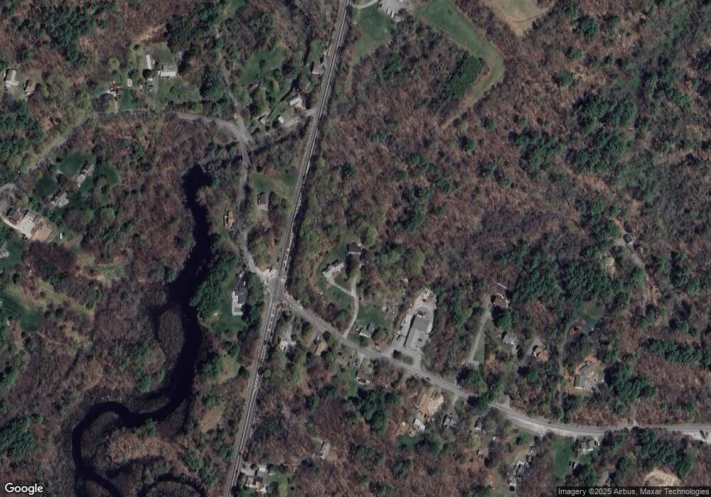
Map
Nearby Homes
- 601 Newburyport Turnpike
- 1 Osprey Ct
- Lot 4 Osprey Ct
- Lot 6 Osprey Ct
- Lot 3 Osprey Ct
- 304 & 480 Wethersfield St & Nbpt Tnpk
- 36 Caldwell Farm Rd
- 64 Caldwell Farm Rd Unit 64
- 285 Central St
- 460 - 472 Newburyport Turnpike
- 304-312 Wethersfield St
- 308 & 312 Wethersfield St
- 480 Newburyport Turnpike
- 17 Arthur Gordon Dr
- 117 Kittery Ave
- 34 Central St Unit 2
- 34 Central St Unit 1
- 78 Wethersfield St
- 16 Cedarwood Ln
- 38 Pearson Dr
- 441 Central St
- 419 Central St
- 15 Glen St
- 426 Central St
- 428 Central St
- 422 Central St
- 430 Central St
- 2 Glen St
- 8 Glen St
- 418 Central St
- 414 Central St
- 414 Central St Unit 1
- 395 Central St
- 408 Central St
- 389 Central St
- 27 Glen St
- 676 Newburyport Turnpike
- 28 Glen Street Lot 1
- 398 Central St
- 613 Newburyport Turnpike