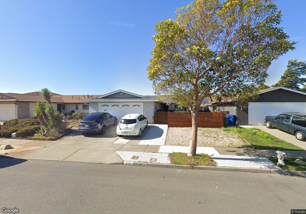
429 Coral Reef Rd Alameda, CA 94501
South Shore NeighborhoodEstimated Value: $1,193,738 - $1,327,000
4
Beds
2
Baths
1,393
Sq Ft
$902/Sq Ft
Est. Value
About This Home
This home is located at 429 Coral Reef Rd, Alameda, CA 94501 and is currently estimated at $1,256,185, approximately $901 per square foot. 429 Coral Reef Rd is a home located in Alameda County with nearby schools including William G. Paden Elementary School, Will C. Wood Middle School, and Encinal Junior/Senior High.
Ownership History
Date
Name
Owned For
Owner Type
Purchase Details
Closed on
Apr 18, 2017
Sold by
Martin Brent C and The Lacy Family Trust
Bought by
Chiu Esteban and Hua Linda
Current Estimated Value
Home Financials for this Owner
Home Financials are based on the most recent Mortgage that was taken out on this home.
Original Mortgage
$510,000
Outstanding Balance
$424,397
Interest Rate
4.21%
Mortgage Type
New Conventional
Estimated Equity
$831,788
Purchase Details
Closed on
Aug 1, 1994
Sold by
Lacy Lester T and Lacy Marguerite H
Bought by
Lacy Lester T and Lacy Marguerite
Create a Home Valuation Report for This Property
The Home Valuation Report is an in-depth analysis detailing your home's value as well as a comparison with similar homes in the area
Home Values in the Area
Average Home Value in this Area
Purchase History
| Date | Buyer | Sale Price | Title Company |
|---|---|---|---|
| Chiu Esteban | $910,000 | Fidelity National Title Co | |
| Lacy Lester T | -- | -- |
Source: Public Records
Mortgage History
| Date | Status | Borrower | Loan Amount |
|---|---|---|---|
| Open | Chiu Esteban | $510,000 |
Source: Public Records
Tax History Compared to Growth
Tax History
| Year | Tax Paid | Tax Assessment Tax Assessment Total Assessment is a certain percentage of the fair market value that is determined by local assessors to be the total taxable value of land and additions on the property. | Land | Improvement |
|---|---|---|---|---|
| 2025 | $14,454 | $1,049,108 | $316,832 | $739,276 |
| 2024 | $14,454 | $1,028,406 | $310,622 | $724,784 |
| 2023 | $13,880 | $1,015,104 | $304,531 | $710,573 |
| 2022 | $13,561 | $988,202 | $298,560 | $696,642 |
| 2021 | $13,215 | $968,692 | $292,707 | $682,985 |
| 2020 | $13,050 | $965,691 | $289,707 | $675,984 |
| 2019 | $12,559 | $946,763 | $284,029 | $662,734 |
| 2018 | $12,235 | $928,200 | $278,460 | $649,740 |
| 2017 | $1,905 | $87,460 | $41,829 | $45,631 |
| 2016 | $1,882 | $85,745 | $41,008 | $44,737 |
| 2015 | $1,866 | $84,457 | $40,392 | $44,065 |
| 2014 | $1,806 | $82,802 | $39,601 | $43,201 |
Source: Public Records
Map
Nearby Homes
- 404 Coral Reef Rd
- 955 Shorepoint Ct Unit 110
- 955 Shorepoint Ct Unit 200
- 965 Shorepoint Ct
- 608 Fortress Isle
- 1001 Shoreline Dr Unit 301
- 950 Shorepoint Ct Unit 100
- 325 Kitty Hawk Rd Unit 207
- 325 Kitty Hawk Rd Unit 304
- 933 Shoreline Dr Unit 203
- 1941 Franciscan Way
- 2000 Clinton Ave
- 1812 San Antonio Ave
- 1628 Encinal Ave
- 2031 Otis Dr Unit H
- 610 Grand St
- 1203 Benton St
- 901 San Antonio Ave
- 2106 Otis Dr Unit D
- 1220 9th St
- 425 Coral Reef Rd
- 433 Coral Reef Rd
- 421 Coral Reef Rd
- 428 Harbor Light Rd
- 424 Harbor Light Rd
- 432 Harbor Light Rd
- 420 Harbor Light Rd
- 1201 Coral Reef Place
- 417 Coral Reef Rd
- 428 Coral Reef Rd
- 424 Coral Reef Rd
- 416 Harbor Light Rd
- 1205 Coral Reef Place
- 420 Coral Reef Rd
- 413 Coral Reef Rd
- 1209 Coral Reef Place
- 416 Coral Reef Rd
- 412 Harbor Light Rd
- 1165 Sand Beach Place
- 1213 Coral Reef Place