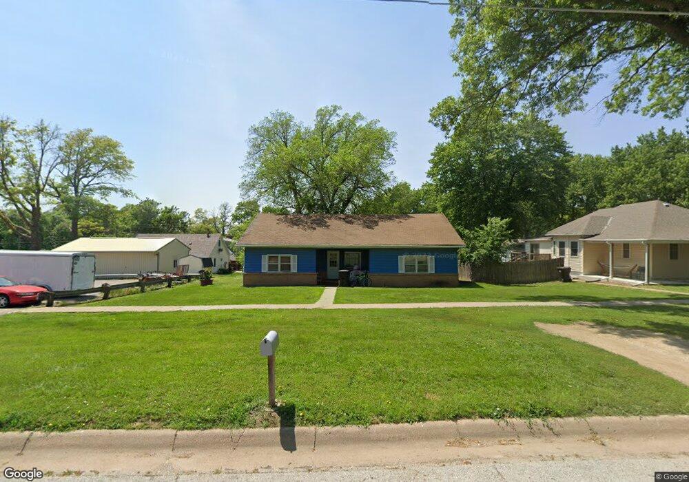
429 N 6th St Tecumseh, NE 68450
Estimated Value: $89,415 - $219,000
3
Beds
1
Bath
1,562
Sq Ft
$91/Sq Ft
Est. Value
About This Home
This home is located at 429 N 6th St, Tecumseh, NE 68450 and is currently estimated at $141,604, approximately $90 per square foot. 429 N 6th St is a home located in Johnson County with nearby schools including Johnson County Central Elementary School - Tecumseh, Johnson County Central Elementary School - Cook, and Johnson County Central Middle School.
Ownership History
Date
Name
Owned For
Owner Type
Purchase Details
Closed on
Nov 17, 2014
Sold by
Kbr Commercial Llc
Bought by
Zimmerman Cynthia Kay
Current Estimated Value
Purchase Details
Closed on
Feb 23, 2012
Sold by
Kbr Commercial Llc
Bought by
Ascheman Charles R and Ascheman April D
Purchase Details
Closed on
Feb 21, 2011
Sold by
Us Bank National Association Nd
Bought by
Kbr Commercial Llc
Purchase Details
Closed on
Nov 9, 2010
Sold by
Sitthisak Bounsanong and Sitthisak Dalavy
Bought by
Us Bank National Association Nd
Create a Home Valuation Report for This Property
The Home Valuation Report is an in-depth analysis detailing your home's value as well as a comparison with similar homes in the area
Home Values in the Area
Average Home Value in this Area
Purchase History
| Date | Buyer | Sale Price | Title Company |
|---|---|---|---|
| Zimmerman Cynthia Kay | $38,000 | -- | |
| Ascheman Charles R | $45,500 | -- | |
| Kbr Commercial Llc | $9,000 | -- | |
| Us Bank National Association Nd | $28,000 | -- |
Source: Public Records
Tax History Compared to Growth
Tax History
| Year | Tax Paid | Tax Assessment Tax Assessment Total Assessment is a certain percentage of the fair market value that is determined by local assessors to be the total taxable value of land and additions on the property. | Land | Improvement |
|---|---|---|---|---|
| 2024 | $642 | $44,496 | $11,191 | $33,305 |
| 2023 | $1,042 | $49,194 | $11,191 | $38,003 |
| 2022 | $835 | $39,764 | $7,461 | $32,303 |
| 2021 | $790 | $39,764 | $7,461 | $32,303 |
| 2020 | $710 | $36,258 | $7,461 | $28,797 |
| 2019 | $709 | $36,258 | $7,461 | $28,797 |
| 2018 | $700 | $36,258 | $7,461 | $28,797 |
| 2017 | $513 | $34,080 | $7,460 | $26,620 |
| 2016 | $513 | $27,930 | $7,460 | $20,470 |
| 2015 | $512 | $27,650 | $7,385 | $20,265 |
| 2014 | $665 | $34,080 | $7,460 | $26,620 |
Source: Public Records
Map
Nearby Homes
- 480 Grant St
- 429 N 4th St
- 684 N 5th St
- 571 N 3rd St
- 253 N 3rd St
- 502 Broadway St
- 971 Prairie Dr
- Denver Plan at Shawnee Ridge
- Nantucket II Plan at Shawnee Ridge
- Breckenridge Plan at Shawnee Ridge
- Boulder Plan at Shawnee Ridge
- Dakota Plan at Shawnee Ridge
- Vista II Plan at Shawnee Ridge
- Vail II Plan at Shawnee Ridge
- Vail Plan at Shawnee Ridge
- Vista Plan at Shawnee Ridge
- Otoe Plan at Shawnee Ridge
- Durango Plan at Shawnee Ridge
- Navajo Plan at Shawnee Ridge
- Inca Plan at Shawnee Ridge