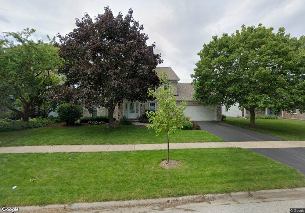
429 Redstart Rd Naperville, IL 60565
Winding Creek Estates NeighborhoodEstimated Value: $609,000 - $764,000
Studio
1
Bath
2,682
Sq Ft
$263/Sq Ft
Est. Value
About This Home
This home is located at 429 Redstart Rd, Naperville, IL 60565 and is currently estimated at $704,244, approximately $262 per square foot. 429 Redstart Rd is a home located in DuPage County with nearby schools including Maplebrook Elementary School, Lincoln Jr. High School, and Naperville Central High School.
Ownership History
Date
Name
Owned For
Owner Type
Purchase Details
Closed on
Jun 15, 2021
Sold by
Living Trust Of Robert C Chandler and Chandler Robert C
Bought by
Chandler Brian R and Rooney Sarah T
Current Estimated Value
Home Financials for this Owner
Home Financials are based on the most recent Mortgage that was taken out on this home.
Original Mortgage
$400,000
Outstanding Balance
$367,413
Interest Rate
3.88%
Mortgage Type
New Conventional
Estimated Equity
$336,831
Purchase Details
Closed on
Nov 23, 2011
Sold by
Chandler Robert C
Bought by
Chandler Robert C and The Living Trust Of Robert C Chandler
Purchase Details
Closed on
Mar 24, 2006
Sold by
Chandler Robert C and Chandler Diana M
Bought by
Chandler Robert C and Chandler Diana M
Create a Home Valuation Report for This Property
The Home Valuation Report is an in-depth analysis detailing your home's value as well as a comparison with similar homes in the area
Home Values in the Area
Average Home Value in this Area
Purchase History
| Date | Buyer | Sale Price | Title Company |
|---|---|---|---|
| Chandler Brian R | $500,000 | None Listed On Document | |
| Chandler Robert C | -- | First American Title Ins Co | |
| Chandler Robert C | -- | None Available |
Source: Public Records
Mortgage History
| Date | Status | Borrower | Loan Amount |
|---|---|---|---|
| Open | Chandler Brian R | $400,000 |
Source: Public Records
Tax History
| Year | Tax Paid | Tax Assessment Tax Assessment Total Assessment is a certain percentage of the fair market value that is determined by local assessors to be the total taxable value of land and additions on the property. | Land | Improvement |
|---|---|---|---|---|
| 2024 | $11,497 | $203,669 | $78,584 | $125,085 |
| 2023 | $11,039 | $185,880 | $71,720 | $114,160 |
| 2022 | $10,279 | $169,830 | $65,530 | $104,300 |
| 2021 | $9,893 | $163,410 | $63,050 | $100,360 |
| 2020 | $9,677 | $160,480 | $61,920 | $98,560 |
| 2019 | $9,382 | $153,540 | $59,240 | $94,300 |
| 2018 | $9,385 | $153,540 | $59,240 | $94,300 |
| 2017 | $9,186 | $148,360 | $57,240 | $91,120 |
| 2016 | $8,991 | $143,000 | $55,170 | $87,830 |
| 2015 | $9,274 | $134,660 | $51,950 | $82,710 |
| 2014 | $9,380 | $132,020 | $50,930 | $81,090 |
| 2013 | $9,238 | $132,330 | $51,050 | $81,280 |
Source: Public Records
Map
Nearby Homes
- 628 Flock Ave Unit 3
- 332 Prairie Knoll Dr
- 381 Prairie Knoll Dr
- 362 Ripley Ct
- 2023 Springside Dr
- 48 Starling Ln
- 289 Winding Creek Dr
- 2049 Dorval Dr
- 77 Bluebird Ln
- 233 Briarheath Ln
- 43 Foxcroft Rd Unit 43127
- 2153 Lancaster Cir Unit 102B
- 50 Plymouth Ct Unit 202B
- 1751 S Washington St Unit 1
- 1678 Cove Ct Unit 5
- 1532 Swallow St
- 1447 Baldwin Ct
- 2245 Petworth Ct Unit 202C
- 47 Glencoe Ct Unit 102D
- 2132 Berkley Ct Unit 202B
- 425 Redstart Rd
- 433 Redstart Rd
- 421 Redstart Rd
- 438 Quail Dr
- 434 Quail Dr
- 424 Redstart Rd
- 430 Redstart Rd
- 1618 Riparian Dr
- 442 Quail Dr
- 430 Quail Dr
- 417 Redstart Rd Unit 5
- 446 Quail Dr
- 426 Quail Dr
- 1539 Ceals Ct
- 1628 Riparian Dr
- 1530 Ceals Ct
- 1610 Riparian Dr
- 413 Redstart Rd
- 422 Quail Dr Unit 5
- 1623 Riparian Dr
Your Personal Tour Guide
Ask me questions while you tour the home.