Estimated Value: $415,020 - $479,000
2
Beds
1
Bath
1,611
Sq Ft
$276/Sq Ft
Est. Value
About This Home
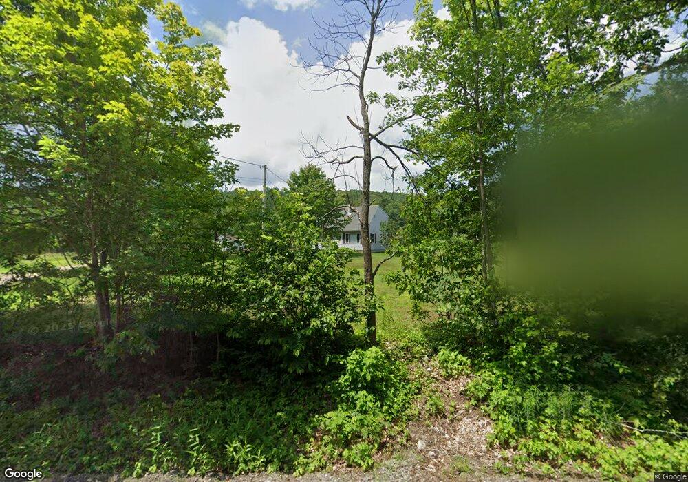
This home is located at 429 River Rd, Weare, NH 03281 and is currently estimated at $444,505, approximately $275 per square foot. 429 River Rd is a home with nearby schools including Center Woods Elementary School, Weare Middle School, and John Stark Regional High School.
Ownership History
Date
Name
Owned For
Owner Type
Purchase Details
Closed on
Jun 25, 2002
Sold by
Jewett Darryl A and Jewett Laurie A
Bought by
Fifield Stephen A and Fifield Kimberly E
Current Estimated Value
Home Financials for this Owner
Home Financials are based on the most recent Mortgage that was taken out on this home.
Original Mortgage
$154,850
Interest Rate
6.81%
Purchase Details
Closed on
Nov 6, 1996
Sold by
Maloon Lester E and Maloon Kara L
Bought by
Jewett Darryl A and Jewett Laurie A
Home Financials for this Owner
Home Financials are based on the most recent Mortgage that was taken out on this home.
Original Mortgage
$81,953
Interest Rate
8.1%
Create a Home Valuation Report for This Property
The Home Valuation Report is an in-depth analysis detailing your home's value as well as a comparison with similar homes in the area
Home Values in the Area
Average Home Value in this Area
Purchase History
| Date | Buyer | Sale Price | Title Company |
|---|---|---|---|
| Fifield Stephen A | $163,000 | -- | |
| Jewett Darryl A | $82,000 | -- |
Source: Public Records
Mortgage History
| Date | Status | Borrower | Loan Amount |
|---|---|---|---|
| Open | Jewett Darryl A | $133,450 | |
| Closed | Jewett Darryl A | $10,000 | |
| Closed | Jewett Darryl A | $154,850 | |
| Previous Owner | Jewett Darryl A | $81,953 |
Source: Public Records
Tax History
| Year | Tax Paid | Tax Assessment Tax Assessment Total Assessment is a certain percentage of the fair market value that is determined by local assessors to be the total taxable value of land and additions on the property. | Land | Improvement |
|---|---|---|---|---|
| 2025 | $6,135 | $283,500 | $123,500 | $160,000 |
| 2024 | $5,781 | $283,500 | $123,500 | $160,000 |
| 2023 | $5,341 | $283,500 | $123,500 | $160,000 |
| 2022 | $4,933 | $283,500 | $123,500 | $160,000 |
| 2021 | $4,899 | $284,800 | $123,500 | $161,300 |
| 2020 | $4,778 | $199,500 | $86,800 | $112,700 |
| 2019 | $4,730 | $199,500 | $86,800 | $112,700 |
| 2018 | $4,594 | $199,500 | $86,800 | $112,700 |
| 2016 | $4,463 | $199,500 | $86,800 | $112,700 |
| 2015 | $4,408 | $196,700 | $86,700 | $110,000 |
| 2014 | $4,369 | $196,700 | $86,700 | $110,000 |
| 2013 | $4,278 | $196,700 | $86,700 | $110,000 |
Source: Public Records
Map
Nearby Homes
- 14 Greenwood Rd
- 0 Eastman Way
- 174 S Stark Hwy Unit 1
- 93 Daniels Rd
- 103 Renshaw Rd
- 624 S Stark Hwy
- 916 River Rd
- 0 Fairway Dr Unit 11
- 31 Pine Crest Dr
- 0 Huntington Hill Rd Unit 69
- 53 Tucker Hill Rd
- 23 Bessie Leavitt Ln
- 25 Mount Dearborn Rd
- 10 Autumn St
- 1003 School St
- 129 New Boston Rd
- 9 Maple Ave
- 256 Middle Branch Rd
- Map 6 Lot 40 River Rd
- 69 Peaslee Hill Rd
Your Personal Tour Guide
Ask me questions while you tour the home.