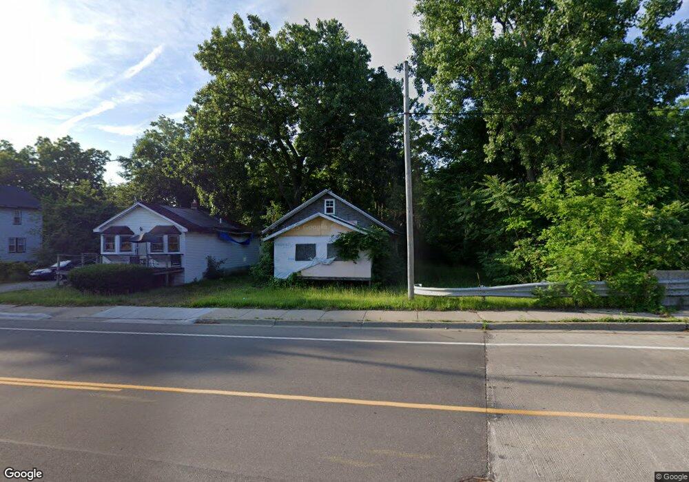
429 W 12th St Flint, MI 48503
South Side NeighborhoodEstimated Value: $35,000 - $53,000
2
Beds
1
Bath
742
Sq Ft
$59/Sq Ft
Est. Value
About This Home
This home is located at 429 W 12th St, Flint, MI 48503 and is currently estimated at $44,000, approximately $59 per square foot. 429 W 12th St is a home located in Genesee County with nearby schools including Freeman Elementary School, Flint Southwestern Classical Academy, and International Academy of Flint (K-12).
Ownership History
Date
Name
Owned For
Owner Type
Purchase Details
Closed on
Dec 19, 2019
Sold by
Genesee County Treasurer
Bought by
Genesee County Land Bank Authority
Current Estimated Value
Purchase Details
Closed on
Oct 26, 2016
Sold by
Stair Philip G and Genesee County Land Bank Autho
Bought by
Hutton Jean Gloria and Hutton Hensley Jr William
Purchase Details
Closed on
Dec 20, 2013
Sold by
Genesee County Treasurer
Bought by
Genesee County Land Bank
Purchase Details
Closed on
Mar 14, 2007
Sold by
Dillingham Judy A and Jablonski Judy A
Bought by
Vanover Linda H
Create a Home Valuation Report for This Property
The Home Valuation Report is an in-depth analysis detailing your home's value as well as a comparison with similar homes in the area
Home Values in the Area
Average Home Value in this Area
Purchase History
| Date | Buyer | Sale Price | Title Company |
|---|---|---|---|
| Genesee County Land Bank Authority | -- | None Available | |
| Hutton Jean Gloria | $2,000 | None Available | |
| Genesee County Land Bank | -- | None Available | |
| Vanover Linda H | -- | None Available |
Source: Public Records
Tax History
| Year | Tax Paid | Tax Assessment Tax Assessment Total Assessment is a certain percentage of the fair market value that is determined by local assessors to be the total taxable value of land and additions on the property. | Land | Improvement |
|---|---|---|---|---|
| 2025 | -- | $0 | $0 | $0 |
| 2024 | -- | $0 | $0 | $0 |
| 2023 | -- | $0 | $0 | $0 |
| 2022 | $0 | $0 | $0 | $0 |
| 2021 | $0 | $0 | $0 | $0 |
| 2020 | $268 | $0 | $0 | $0 |
| 2019 | $591 | $5,400 | $0 | $0 |
| 2018 | $556 | $4,800 | $0 | $0 |
| 2017 | $579 | $0 | $0 | $0 |
| 2016 | $579 | $0 | $0 | $0 |
| 2015 | -- | $0 | $0 | $0 |
| 2014 | -- | $0 | $0 | $0 |
| 2012 | -- | $7,000 | $0 | $0 |
Source: Public Records
Map
Nearby Homes
- 1517 Tacoma St
- 1511 Tacoma St
- 517 Morley Ave
- 636 Partridge St
- 1114 S Grand Traverse St
- 1215 S Grand Traverse St
- 1009 Oak St
- 1708 Fenton Rd
- 812 Remington Ave
- 420 Pingree Ave
- 834 Remington Ave
- 211 W 5th St
- 149 E Tobias St
- A Avenue
- 149 E Linsey Blvd
- 2050 Ferris Ave
- 1720 Park St
- 2021 Brooks St
- 133 E Oakley St
- 741 Barrie Ave
- 421 W 12th St
- 417 W 12th St
- 1721 Neilson St
- 501 W 12th St
- 1712 Neilson St
- 424 Morley Ave
- 428 Morley Ave
- 416 Morley Ave
- 509 W 12th St
- 1720 Neilson St
- 1736 S Grand Traverse St
- 1732 S Grand Traverse St
- 512 W 12th St
- 513 W 12th St
- 502 Morley Ave
- 1711 Tacoma St
- 506 Morley Ave
- 516 W 12th St
- 517 W 12th St
- 1715 Tacoma St
Your Personal Tour Guide
Ask me questions while you tour the home.