Estimated Value: $345,000 - $419,000
3
Beds
1
Bath
1,300
Sq Ft
$284/Sq Ft
Est. Value
About This Home
This home is located at 429 White Pond Rd, Athol, MA 01331 and is currently estimated at $368,865, approximately $283 per square foot. 429 White Pond Rd is a home located in Worcester County with nearby schools including Athol High School.
Ownership History
Date
Name
Owned For
Owner Type
Purchase Details
Closed on
Apr 18, 1997
Sold by
Lanoue Todd W and Lanoue Michelle M
Bought by
Chase Millard W
Current Estimated Value
Home Financials for this Owner
Home Financials are based on the most recent Mortgage that was taken out on this home.
Original Mortgage
$72,100
Outstanding Balance
$9,216
Interest Rate
7.76%
Mortgage Type
Purchase Money Mortgage
Estimated Equity
$359,649
Create a Home Valuation Report for This Property
The Home Valuation Report is an in-depth analysis detailing your home's value as well as a comparison with similar homes in the area
Home Values in the Area
Average Home Value in this Area
Purchase History
| Date | Buyer | Sale Price | Title Company |
|---|---|---|---|
| Chase Millard W | $82,000 | -- |
Source: Public Records
Mortgage History
| Date | Status | Borrower | Loan Amount |
|---|---|---|---|
| Open | Chase Millard W | $72,100 | |
| Previous Owner | Chase Millard W | $30,000 | |
| Previous Owner | Chase Millard W | $70,000 | |
| Previous Owner | Chase Millard W | $55,000 |
Source: Public Records
Tax History Compared to Growth
Tax History
| Year | Tax Paid | Tax Assessment Tax Assessment Total Assessment is a certain percentage of the fair market value that is determined by local assessors to be the total taxable value of land and additions on the property. | Land | Improvement |
|---|---|---|---|---|
| 2025 | $3,358 | $264,200 | $62,800 | $201,400 |
| 2024 | $3,133 | $244,200 | $62,800 | $181,400 |
| 2023 | $2,989 | $212,900 | $46,200 | $166,700 |
| 2022 | $2,688 | $167,500 | $44,200 | $123,300 |
| 2021 | $2,585 | $146,400 | $40,100 | $106,300 |
| 2020 | $2,483 | $144,500 | $36,800 | $107,700 |
| 2019 | $2,419 | $138,600 | $34,700 | $103,900 |
| 2018 | $51 | $123,900 | $31,400 | $92,500 |
| 2017 | $2,434 | $119,300 | $31,400 | $87,900 |
| 2016 | $2,251 | $113,500 | $31,400 | $82,100 |
| 2015 | $2,160 | $113,500 | $31,400 | $82,100 |
| 2014 | $1,972 | $107,000 | $31,400 | $75,600 |
Source: Public Records
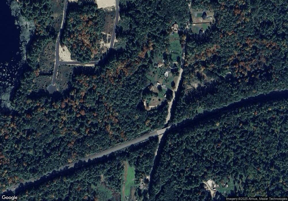
Map
Nearby Homes
- 363 White Pond Rd
- 315 White Pond Rd
- 316 White Pond Rd
- 229 White Pond Rd
- 555 White Pond Rd
- 154 White Pond Rd
- 603 White Pond Rd
- 124 White Pond Rd
- 568 White Pond Rd
- 590 White Pond Rd
- 51 White Pond Rd
- 657 White Pond Rd
- 98 White Pond Rd
- 824 Partridgeville Rd
- 784 Partridgeville Rd
- 82 White Pond Rd
- 937 Partridgeville Rd
- 722 Partridgeville Rd
- 745 Partridgeville Rd
- 14 White Pond Rd